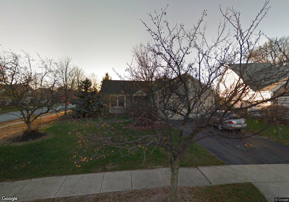
1681 Hale Ct Columbus, OH 43228
Scioto Woods NeighborhoodEstimated Value: $327,676 - $336,000
3
Beds
2
Baths
1,200
Sq Ft
$276/Sq Ft
Est. Value
About This Home
This home is located at 1681 Hale Ct, Columbus, OH 43228 and is currently estimated at $331,669, approximately $276 per square foot. 1681 Hale Ct is a home located in Franklin County with nearby schools including Galloway Ridge Intermediate School, Prairie Lincoln Elementary School, and Norton Middle School.
Ownership History
Date
Name
Owned For
Owner Type
Purchase Details
Closed on
Sep 30, 2004
Sold by
Calisto Atriano and Atriano Kathleen M
Bought by
Sullivan Rebecca
Current Estimated Value
Home Financials for this Owner
Home Financials are based on the most recent Mortgage that was taken out on this home.
Original Mortgage
$139,650
Interest Rate
7.85%
Mortgage Type
Purchase Money Mortgage
Purchase Details
Closed on
Jul 31, 1996
Sold by
Root Robert G
Bought by
Rheinecker Calistro Atriano and Rheinecker Kathleen M
Home Financials for this Owner
Home Financials are based on the most recent Mortgage that was taken out on this home.
Original Mortgage
$95,500
Interest Rate
7.75%
Mortgage Type
New Conventional
Purchase Details
Closed on
Jan 2, 1991
Create a Home Valuation Report for This Property
The Home Valuation Report is an in-depth analysis detailing your home's value as well as a comparison with similar homes in the area
Home Values in the Area
Average Home Value in this Area
Purchase History
| Date | Buyer | Sale Price | Title Company |
|---|---|---|---|
| Sullivan Rebecca | $147,000 | Chicago Tit | |
| Rheinecker Calistro Atriano | $115,500 | -- | |
| -- | $91,400 | -- |
Source: Public Records
Mortgage History
| Date | Status | Borrower | Loan Amount |
|---|---|---|---|
| Previous Owner | Sullivan Rebecca | $139,650 | |
| Previous Owner | Rheinecker Calistro Atriano | $95,500 |
Source: Public Records
Tax History Compared to Growth
Tax History
| Year | Tax Paid | Tax Assessment Tax Assessment Total Assessment is a certain percentage of the fair market value that is determined by local assessors to be the total taxable value of land and additions on the property. | Land | Improvement |
|---|---|---|---|---|
| 2024 | $3,345 | $91,740 | $38,500 | $53,240 |
| 2023 | $3,286 | $91,735 | $38,500 | $53,235 |
| 2022 | $3,232 | $66,220 | $15,330 | $50,890 |
| 2021 | $3,297 | $66,220 | $15,330 | $50,890 |
| 2020 | $3,278 | $66,220 | $15,330 | $50,890 |
| 2019 | $3,049 | $54,360 | $12,250 | $42,110 |
| 2018 | $2,999 | $54,360 | $12,250 | $42,110 |
| 2017 | $2,992 | $54,360 | $12,250 | $42,110 |
| 2016 | $2,963 | $48,970 | $11,660 | $37,310 |
| 2015 | $2,963 | $48,970 | $11,660 | $37,310 |
| 2014 | $2,966 | $48,970 | $11,660 | $37,310 |
| 2013 | $1,471 | $48,965 | $11,655 | $37,310 |
Source: Public Records
Map
Nearby Homes
- 3495 La Coste Ln
- 3664 Grimes Dr
- 2051 Tuckaway Ct
- 3757 Gibbstone Dr
- 3761 Gibbstone Dr
- 3254 Dover Rd
- 3252 Dover Rd
- 3161 Bowdoin Cir
- 4000 Sandy Ridge Dr
- 3570 Dover Rd
- 2350 Hetter St
- 2754 Scioto Station Dr
- 2867 Kobuk Dr Unit 404
- 2867 Kobuk Dr Unit 304
- 2867 Kobuk Dr Unit 402
- 2867 Kobuk Dr Unit 201
- 2342 Quarry Trails Dr
- 2342 Quarry Trails Dr
- 2262 Quarry Trails Dr
- 2374 Quarry Trails Dr