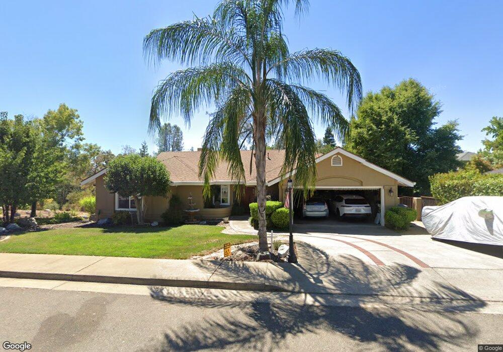
1681 Saint Andrews Dr Redding, CA 96003
Gold Hills NeighborhoodEstimated Value: $474,000 - $526,000
3
Beds
2
Baths
1,925
Sq Ft
$260/Sq Ft
Est. Value
About This Home
This home is located at 1681 Saint Andrews Dr, Redding, CA 96003 and is currently estimated at $499,998, approximately $259 per square foot. 1681 Saint Andrews Dr is a home located in Shasta County with nearby schools including Columbia Elementary School, Mountain View Middle School, and Foothill High School.
Ownership History
Date
Name
Owned For
Owner Type
Purchase Details
Closed on
Apr 15, 2025
Sold by
Stein Douglas M and Hunt Shannon L
Bought by
Douglas M Stein And Shannon L Hunt Family Tru and Stein
Current Estimated Value
Purchase Details
Closed on
Oct 17, 2002
Sold by
Dent Dorman H and Dent Sharon E
Bought by
Stein Douglas M and Stein Shannon Lee
Home Financials for this Owner
Home Financials are based on the most recent Mortgage that was taken out on this home.
Original Mortgage
$181,000
Interest Rate
6.05%
Mortgage Type
Purchase Money Mortgage
Create a Home Valuation Report for This Property
The Home Valuation Report is an in-depth analysis detailing your home's value as well as a comparison with similar homes in the area
Home Values in the Area
Average Home Value in this Area
Purchase History
| Date | Buyer | Sale Price | Title Company |
|---|---|---|---|
| Douglas M Stein And Shannon L Hunt Family Tru | -- | None Listed On Document | |
| Stein Douglas M | -- | None Listed On Document | |
| Stein Douglas M | $241,000 | Alliance Title Company |
Source: Public Records
Mortgage History
| Date | Status | Borrower | Loan Amount |
|---|---|---|---|
| Previous Owner | Stein Douglas M | $181,000 |
Source: Public Records
Tax History Compared to Growth
Tax History
| Year | Tax Paid | Tax Assessment Tax Assessment Total Assessment is a certain percentage of the fair market value that is determined by local assessors to be the total taxable value of land and additions on the property. | Land | Improvement |
|---|---|---|---|---|
| 2025 | $3,826 | $349,027 | $86,889 | $262,138 |
| 2024 | $3,836 | $342,185 | $85,186 | $256,999 |
| 2023 | $3,836 | $335,476 | $83,516 | $251,960 |
| 2022 | $3,695 | $328,899 | $81,879 | $247,020 |
| 2021 | $3,696 | $322,451 | $80,274 | $242,177 |
| 2020 | $3,650 | $319,145 | $79,451 | $239,694 |
| 2019 | $3,565 | $312,889 | $77,894 | $234,995 |
| 2018 | $3,608 | $306,755 | $76,367 | $230,388 |
| 2017 | $3,646 | $300,741 | $74,870 | $225,871 |
| 2016 | $3,419 | $294,845 | $73,402 | $221,443 |
| 2015 | $3,365 | $290,417 | $72,300 | $218,117 |
| 2014 | $3,273 | $284,729 | $70,884 | $213,845 |
Source: Public Records
Map
Nearby Homes
- 6038 Gleneagles Ct
- 6173 Brassie Way
- 1633 Wee Burn Ct
- 6260 Carmel Dr
- 1779 Player Ct
- 1533 Spanish Bay Dr
- 6040 Constitution Way
- 6180 Lucca Trail
- 5852 Avery Way
- 2169 Hope Ln
- 11632 Ridgewood Rd
- 5810 Diamond Ridge Dr
- 12009 Theresa Ln
- 5569 Diamond Ridge Dr
- 5592 Diamond Ridge Dr
- 1050 Hillsdale Ct
- 948 & 950 Hawley
- 1102 Hope Ln
- 1355 Hope Ln
- 18534 Candy Ln
- 1677 St Andrews Dr
- 1677 Saint Andrews Dr
- 1663 St Andrews Dr
- 1663 Saint Andrews Dr
- 1691 St Andrews Dr
- 1691 Saint Andrews Dr
- 1687 St Andrews Dr
- 1687 Saint Andrews Dr
- 1683 Saint Andrews Dr
- 1655 Saint Andrews Dr
- 1685 St Andrews Dr
- 1717 St Andrews Dr
- 1717 Saint Andrews Dr
- 6128 Brassie Way
- 6140 Brassie Way
- 1685 Saint Andrews Dr
- 1639 Saint Andrews Dr
- 6152 Brassie Way
- 1672 Saint Andrews Dr
- 1686 St Andrews Dr