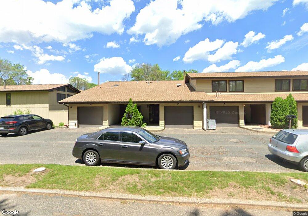
1684 Mcknight Ln Unit 34 Saint Paul, MN 55109
Hillside NeighborhoodEstimated Value: $202,000 - $222,405
2
Beds
2
Baths
1,380
Sq Ft
$155/Sq Ft
Est. Value
About This Home
This home is located at 1684 Mcknight Ln Unit 34, Saint Paul, MN 55109 and is currently estimated at $213,351, approximately $154 per square foot. 1684 Mcknight Ln Unit 34 is a home located in Ramsey County with nearby schools including Cowern Elementary School, Justice Alan Page Elementary, and Lionsgate Academy AIM.
Ownership History
Date
Name
Owned For
Owner Type
Purchase Details
Closed on
Oct 6, 2017
Sold by
Hendeson Tawnnia L
Bought by
Thompson Rebecca Marie
Current Estimated Value
Home Financials for this Owner
Home Financials are based on the most recent Mortgage that was taken out on this home.
Original Mortgage
$95,600
Outstanding Balance
$79,853
Interest Rate
3.82%
Mortgage Type
New Conventional
Estimated Equity
$133,498
Purchase Details
Closed on
Sep 25, 2000
Sold by
Martinson Lucille
Bought by
Henderson Tawnina L
Create a Home Valuation Report for This Property
The Home Valuation Report is an in-depth analysis detailing your home's value as well as a comparison with similar homes in the area
Home Values in the Area
Average Home Value in this Area
Purchase History
| Date | Buyer | Sale Price | Title Company |
|---|---|---|---|
| Thompson Rebecca Marie | $123,121 | Title Smart Inc | |
| Henderson Tawnina L | $103,500 | -- |
Source: Public Records
Mortgage History
| Date | Status | Borrower | Loan Amount |
|---|---|---|---|
| Open | Thompson Rebecca Marie | $95,600 |
Source: Public Records
Tax History Compared to Growth
Tax History
| Year | Tax Paid | Tax Assessment Tax Assessment Total Assessment is a certain percentage of the fair market value that is determined by local assessors to be the total taxable value of land and additions on the property. | Land | Improvement |
|---|---|---|---|---|
| 2025 | $2,520 | $210,400 | $30,000 | $180,400 |
| 2023 | $2,520 | $194,200 | $30,000 | $164,200 |
| 2022 | $1,952 | $179,000 | $30,000 | $149,000 |
| 2021 | $1,824 | $150,900 | $30,000 | $120,900 |
| 2020 | $1,564 | $145,300 | $30,000 | $115,300 |
| 2019 | $1,274 | $122,000 | $24,200 | $97,800 |
| 2018 | $1,076 | $106,100 | $24,200 | $81,900 |
| 2017 | $1,044 | $92,300 | $24,200 | $68,100 |
| 2016 | $1,016 | $0 | $0 | $0 |
| 2015 | $1,012 | $87,100 | $13,100 | $74,000 |
| 2014 | $914 | $0 | $0 | $0 |
Source: Public Records
Map
Nearby Homes
- 2225 Larpenteur Ave E
- 1742 Howard St N
- 2076 Larpenteur Ave E
- 2165 Holloway Ave E
- 1279 Ripley Ave
- 2317 Arlington Ave E
- 1700 Stanich Place
- 2007 6th St N
- 2543 Montana Ave E
- 2092 Shryer Ave E
- 2054 Shryer Ct E
- 2075 Cardinal Glen
- 2102 Sherwood Ave
- 2112 Cottage Ave E
- 2507 Belmont Ln E
- 2226 South Ave E
- 2342 South Ave E
- 1406 Furness Pkwy
- 2191 Gateway Hill Rd
- 2189 Gateway Hill Rd N
- 1683 Mcknight Ln Unit 33
- 1685 1685 McKnight Ln
- 1685 Mcknight Ln Unit 35
- 1686 Mcknight Ln Unit 36
- 1687 1687 McKnight Ln
- 1730 Mcknight Rd N Unit 32
- 1732 Mcknight Rd N Unit 31
- 1734 Mcknight Rd N Unit 30
- 1689 Mcknight Ln Unit 39
- 1688 1688 McKnight Ln
- 1688 Mcknight Ln Unit 38
- 1690 Mcknight Ln Unit 40
- 1738 Mcknight Rd N Unit 28
- 1690 1690 McKnight Ln
- 1738 1738 McKnight Rd N
- 1691 Mcknight Ln Unit 41
- 1692 Mcknight Ln Unit 42
- 1692 1692 McKnight-lane-
- 1692 1692 McKnight Ln
- 1742 Mcknight Rd N Unit 26