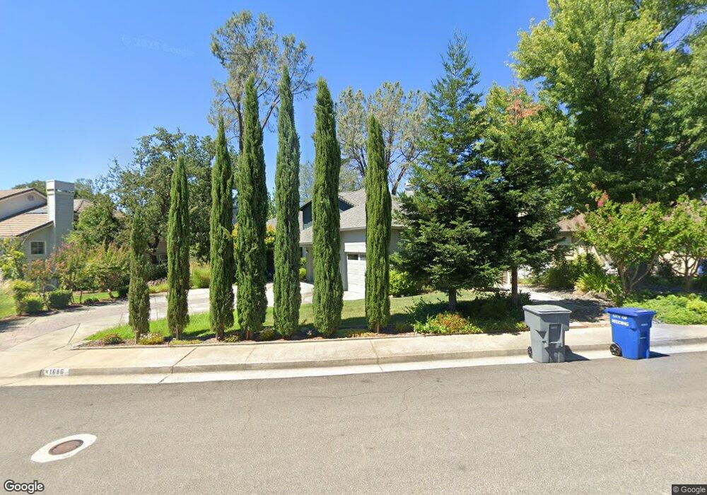
1686 Saint Andrews Dr Redding, CA 96003
Gold Hills NeighborhoodEstimated Value: $511,800 - $558,000
4
Beds
3
Baths
2,560
Sq Ft
$210/Sq Ft
Est. Value
About This Home
This home is located at 1686 Saint Andrews Dr, Redding, CA 96003 and is currently estimated at $537,450, approximately $209 per square foot. 1686 Saint Andrews Dr is a home located in Shasta County with nearby schools including Columbia Elementary School, Mountain View Middle School, and Foothill High School.
Ownership History
Date
Name
Owned For
Owner Type
Purchase Details
Closed on
Apr 5, 2023
Sold by
Yu George Lap Wing and Yu Imelda Yee
Bought by
Yu Family Trust
Current Estimated Value
Purchase Details
Closed on
Apr 13, 2016
Sold by
Howard Joan Barbara
Bought by
Yu George Lap Wing and Yu Imelda Yee K
Home Financials for this Owner
Home Financials are based on the most recent Mortgage that was taken out on this home.
Original Mortgage
$170,000
Interest Rate
3.68%
Mortgage Type
New Conventional
Purchase Details
Closed on
Aug 12, 2008
Sold by
Howard Robert P and Howard Joan B
Bought by
Howard Joan Barbara
Create a Home Valuation Report for This Property
The Home Valuation Report is an in-depth analysis detailing your home's value as well as a comparison with similar homes in the area
Home Values in the Area
Average Home Value in this Area
Purchase History
| Date | Buyer | Sale Price | Title Company |
|---|---|---|---|
| Yu Family Trust | -- | None Listed On Document | |
| Yu George Lap Wing | $330,000 | Placer Title Company | |
| Howard Joan Barbara | -- | None Available |
Source: Public Records
Mortgage History
| Date | Status | Borrower | Loan Amount |
|---|---|---|---|
| Previous Owner | Yu George Lap Wing | $170,000 |
Source: Public Records
Tax History
| Year | Tax Paid | Tax Assessment Tax Assessment Total Assessment is a certain percentage of the fair market value that is determined by local assessors to be the total taxable value of land and additions on the property. | Land | Improvement |
|---|---|---|---|---|
| 2025 | $4,258 | $390,646 | $88,781 | $301,865 |
| 2024 | $4,271 | $382,988 | $87,041 | $295,947 |
| 2023 | $4,271 | $375,480 | $85,335 | $290,145 |
| 2022 | $4,115 | $368,118 | $83,662 | $284,456 |
| 2021 | $4,114 | $360,901 | $82,022 | $278,879 |
| 2020 | $4,064 | $357,201 | $81,181 | $276,020 |
| 2019 | $3,970 | $350,198 | $79,590 | $270,608 |
| 2018 | $4,015 | $343,332 | $78,030 | $265,302 |
| 2017 | $4,139 | $336,600 | $76,500 | $260,100 |
| 2016 | $4,832 | $418,071 | $74,596 | $343,475 |
| 2015 | $4,757 | $411,792 | $73,476 | $338,316 |
| 2014 | $4,631 | $403,726 | $72,037 | $331,689 |
Source: Public Records
Map
Nearby Homes
- 1672 Saint Andrews Dr
- 6050 Gleneagles Ct
- 6260 Carmel Dr
- 1779 Player Ct
- 6040 Constitution Way
- 1546 Gold Hills Dr
- 5808 Constitution Way
- 5890 Shadow Glen Dr
- 6014 Mid Drive Trail
- 2132 Hope Ln
- 11632 Ridgewood Rd
- 5513 Diamond Ridge Dr
- 12009 Theresa Ln
- 1050 Hillsdale Ct
- 5976 Sierra Dr
- 948 & 950 Hawley
- 5961 Sierra Dr
- 1102 Hope Ln
- 000 Wintu Way
- 6298 Oasis Rd
- 1686 St Andrews Dr
- 6091 Gleneagles Ct
- 6055 Gleneagles Ct Unit 1
- 6055 Gleneagles Ct
- 1658 Saint Andrews Dr
- Lot 93 Gleneagles Ct
- 1691 Saint Andrews Dr
- 1691 St Andrews Dr
- 1677 Saint Andrews Dr
- 1677 St Andrews Dr
- 6003 Gleneagles Ct
- 1717 Saint Andrews Dr
- 1717 St Andrews Dr
- 1663 Saint Andrews Dr
- 6098 Gleneagles Ct
- 1663 St Andrews Dr
- 1644 Saint Andrews Dr
- 1655 Saint Andrews Dr
- 6086 Gleneagles Ct
- 1681 Saint Andrews Dr
Your Personal Tour Guide
Ask me questions while you tour the home.