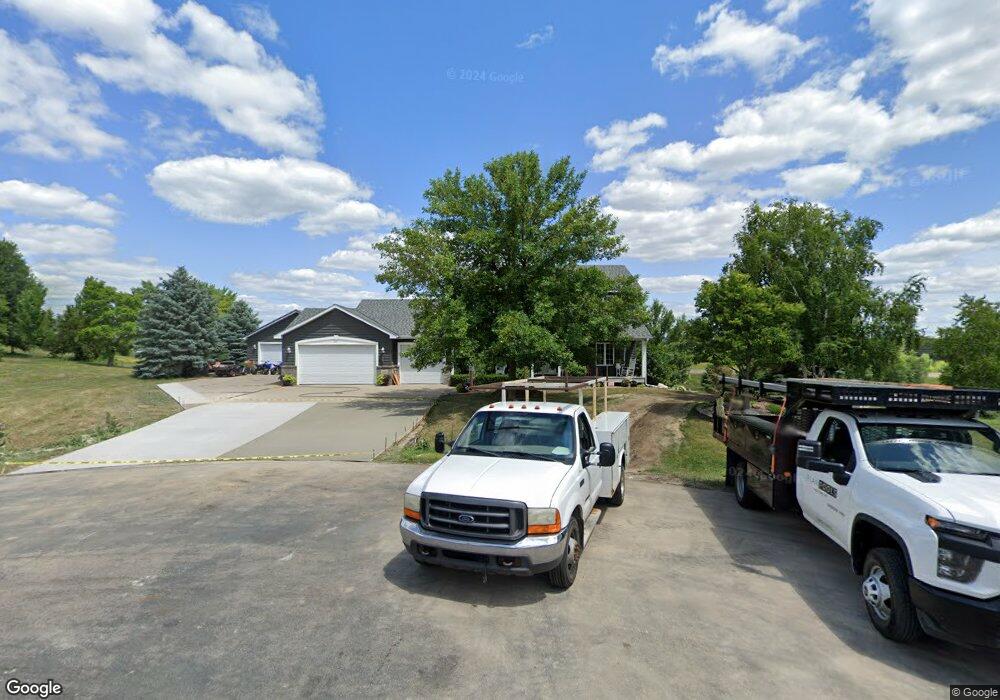
1688 Mike Ct Shakopee, MN 55379
Estimated Value: $778,000 - $866,466
4
Beds
4
Baths
3,636
Sq Ft
$223/Sq Ft
Est. Value
About This Home
This home is located at 1688 Mike Ct, Shakopee, MN 55379 and is currently estimated at $809,117, approximately $222 per square foot. 1688 Mike Ct is a home located in Scott County with nearby schools including Sweeney Elementary School, East Middle School, and Shakopee Senior High School.
Ownership History
Date
Name
Owned For
Owner Type
Purchase Details
Closed on
Sep 13, 2019
Sold by
Bladow Todd V and Bladow Tammy L
Bought by
Harder Terry and Harder Laura
Current Estimated Value
Home Financials for this Owner
Home Financials are based on the most recent Mortgage that was taken out on this home.
Original Mortgage
$463,500
Interest Rate
3.7%
Mortgage Type
New Conventional
Purchase Details
Closed on
Apr 7, 2004
Sold by
Theisen Thomas T and Theisen Marlene M
Bought by
Bladow Todd and Bladow Tammy L
Purchase Details
Closed on
Mar 11, 2002
Sold by
Fink Christopher G and Fink Angela R
Bought by
Bladow Todd and Bladow Tammy
Purchase Details
Closed on
May 6, 1999
Sold by
Weinandt Harris L
Bought by
Fink Christopher G
Purchase Details
Closed on
Sep 11, 1998
Sold by
Weinandt Harris L
Bought by
Fink Christopher G
Create a Home Valuation Report for This Property
The Home Valuation Report is an in-depth analysis detailing your home's value as well as a comparison with similar homes in the area
Home Values in the Area
Average Home Value in this Area
Purchase History
| Date | Buyer | Sale Price | Title Company |
|---|---|---|---|
| Harder Terry | $515,000 | Edina Realty Title Inc | |
| Bladow Todd | $3,350 | -- | |
| Bladow Todd | $324,000 | -- | |
| Fink Christopher G | $44,900 | -- | |
| Fink Christopher G | $44,900 | -- |
Source: Public Records
Mortgage History
| Date | Status | Borrower | Loan Amount |
|---|---|---|---|
| Previous Owner | Harder Terry | $463,500 | |
| Closed | Fink Christopher G | -- |
Source: Public Records
Tax History Compared to Growth
Tax History
| Year | Tax Paid | Tax Assessment Tax Assessment Total Assessment is a certain percentage of the fair market value that is determined by local assessors to be the total taxable value of land and additions on the property. | Land | Improvement |
|---|---|---|---|---|
| 2025 | $8,854 | $805,600 | $242,800 | $562,800 |
| 2024 | $7,970 | $782,900 | $242,800 | $540,100 |
| 2023 | $6,686 | $704,000 | $228,100 | $475,900 |
| 2022 | $6,277 | $594,000 | $217,200 | $376,800 |
| 2021 | $5,382 | $482,500 | $176,600 | $305,900 |
| 2020 | $5,844 | $460,100 | $155,700 | $304,400 |
| 2019 | $6,316 | $437,800 | $163,200 | $274,600 |
| 2018 | $5,702 | $0 | $0 | $0 |
| 2016 | $5,868 | $0 | $0 | $0 |
| 2014 | -- | $0 | $0 | $0 |
Source: Public Records
Map
Nearby Homes
- 981 Peninsula Point Rd
- 1017 Vista Ridge Ln
- 2657 Aspen Dr
- 746 Peninsula Point Rd
- 2624 Lakeview Dr
- 2425 Peace Cir
- 14020 Townline Ave
- 2043 Eaglewood Dr
- 2390 Jennifer Ln
- XXX Marschall Rd
- 1XX Stonebrooke Curve
- 3XX Stonebrooke Curve
- 13599 Stonebrooke Curve
- 13864 Stonebrooke Curve
- 1363 Ridge Ln
- 1353 Ridge Ln
- 265 Mallard Dr
- 2689 Aspen Dr
- 2353 Rock Elm Rd
- 2340 Rock Elm Rd