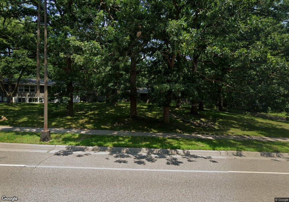
1689 Upper Afton Rd Saint Paul, MN 55106
Battle Creek NeighborhoodEstimated Value: $398,000 - $465,726
3
Beds
2
Baths
602
Sq Ft
$739/Sq Ft
Est. Value
About This Home
This home is located at 1689 Upper Afton Rd, Saint Paul, MN 55106 and is currently estimated at $444,932, approximately $739 per square foot. 1689 Upper Afton Rd is a home located in Ramsey County with nearby schools including Highwood Hills Elementary School, Battle Creek Middle School, and Harding Senior High School.
Ownership History
Date
Name
Owned For
Owner Type
Purchase Details
Closed on
Aug 15, 2017
Sold by
Merrill Adam and Merrill Anne
Bought by
Kula Tanya J and Smith Donavan Gene
Current Estimated Value
Home Financials for this Owner
Home Financials are based on the most recent Mortgage that was taken out on this home.
Original Mortgage
$294,500
Outstanding Balance
$245,737
Interest Rate
3.96%
Estimated Equity
$199,195
Purchase Details
Closed on
Oct 13, 2009
Sold by
Griesbach Scott J
Bought by
Merrill Adam J and Merrill Merrill
Purchase Details
Closed on
Nov 24, 1998
Sold by
Anderson Bryant T and Anderson Lyn E
Bought by
Harris Joseph A and Harris Jennifer B
Create a Home Valuation Report for This Property
The Home Valuation Report is an in-depth analysis detailing your home's value as well as a comparison with similar homes in the area
Home Values in the Area
Average Home Value in this Area
Purchase History
| Date | Buyer | Sale Price | Title Company |
|---|---|---|---|
| Kula Tanya J | $319,394 | Trademark Title Services Inc | |
| Merrill Adam J | $275,000 | -- | |
| Harris Joseph A | $138,000 | -- |
Source: Public Records
Mortgage History
| Date | Status | Borrower | Loan Amount |
|---|---|---|---|
| Open | Kula Tanya J | $294,500 |
Source: Public Records
Tax History Compared to Growth
Tax History
| Year | Tax Paid | Tax Assessment Tax Assessment Total Assessment is a certain percentage of the fair market value that is determined by local assessors to be the total taxable value of land and additions on the property. | Land | Improvement |
|---|---|---|---|---|
| 2025 | $5,778 | $434,500 | $115,700 | $318,800 |
| 2023 | $5,778 | $352,700 | $115,700 | $237,000 |
| 2022 | $5,688 | $336,100 | $115,700 | $220,400 |
| 2021 | $5,478 | $325,100 | $115,700 | $209,400 |
| 2020 | $5,424 | $323,200 | $115,700 | $207,500 |
| 2019 | $5,390 | $298,900 | $115,700 | $183,200 |
| 2018 | $4,756 | $297,500 | $115,700 | $181,800 |
| 2017 | $3,890 | $274,000 | $115,700 | $158,300 |
| 2016 | $4,262 | $0 | $0 | $0 |
| 2015 | $4,058 | $264,800 | $115,700 | $149,100 |
| 2014 | $4,146 | $0 | $0 | $0 |
Source: Public Records
Map
Nearby Homes
- 1747 Louise Ave
- 136 White Bear Ave N
- 125 Battle Creek Place
- 49 Battle Creek Place
- 237 Sigurd St
- 1935 Warbler Ln
- 267 Hazelwood St
- 201 Dora Ct W
- 1989 N Park Dr
- 1600 Old Hudson Rd
- 138 Ruth St N Unit 9
- 1821 Wilson Ave
- 2059 Parkside Dr Unit 29
- 2063 N Park Dr Unit 6
- 1443 Pacific St
- 1538 Wilson Ave
- 244 Point Douglas Rd N
- 1685 Fremont Ave
- 465 Ruth St N
- 1333 Pacific St
- 1689 Upper Afton Rd
- 1685 Upper Afton Rd
- 89 Flandrau Place
- 1681 Upper Afton Rd
- 1681 1681 Upper Afton Rd
- 1715 Upper Afton Rd
- 95 Flandrau Place
- 1679 Upper Afton Rd
- 1679 1679 Upper Afton Rd
- 1680 1680 Upper Afton Rd
- 1680 Upper Afton Rd
- 90 Lyon St
- 1721 1721 Upper Afton-Road-
- 1721 Upper Afton Rd
- 101 Flandrau Place
- 90 90 Lyon-Street-
- 1728 Rowe Place
- 1674 Upper Afton Rd
- 1675 Upper Afton Rd
- 1727 Upper Afton Rd