Estimated Value: $230,000 - $243,000
3
Beds
2
Baths
1,324
Sq Ft
$179/Sq Ft
Est. Value
About This Home
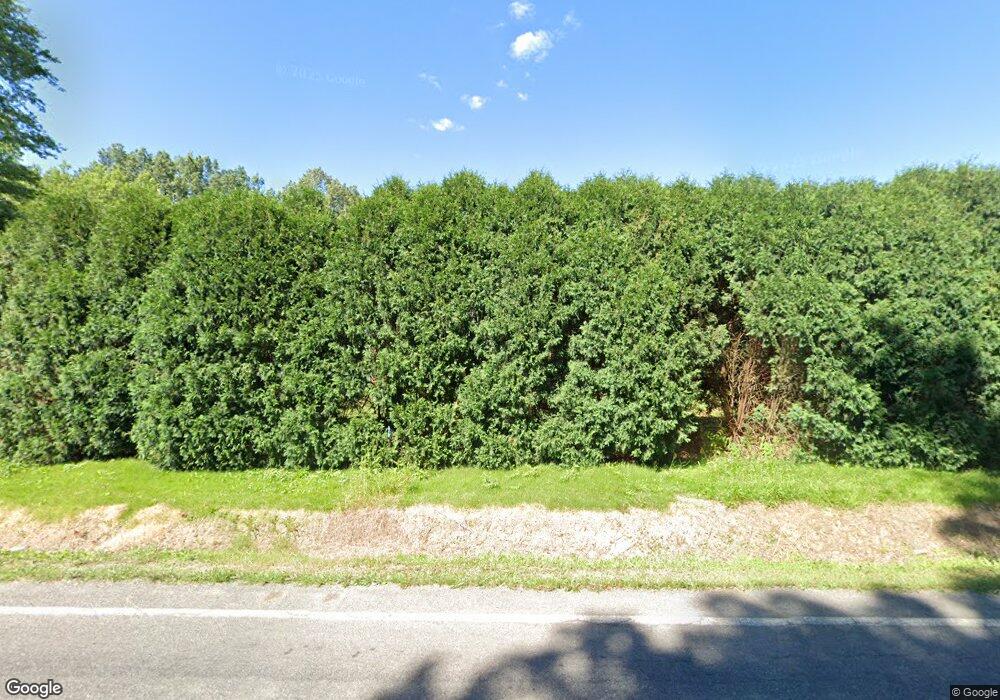
This home is located at 169 W Caston Rd, Akron, OH 44319 and is currently estimated at $237,314, approximately $179 per square foot. 169 W Caston Rd is a home located in Summit County with nearby schools including Nolley Elementary School, Manchester Middle School, and Manchester High School.
Ownership History
Date
Name
Owned For
Owner Type
Purchase Details
Closed on
May 28, 2020
Sold by
Lenart Robert W and Lenart Gwendolyn
Bought by
Smith Katie Jan
Current Estimated Value
Home Financials for this Owner
Home Financials are based on the most recent Mortgage that was taken out on this home.
Original Mortgage
$137,464
Outstanding Balance
$122,078
Interest Rate
3.3%
Mortgage Type
FHA
Estimated Equity
$115,236
Purchase Details
Closed on
Sep 20, 2018
Sold by
Mottice Diane J
Bought by
Lenart Robert W
Purchase Details
Closed on
Feb 8, 2018
Sold by
Lenart David J and Lenart Terez A
Bought by
Lenart David J
Purchase Details
Closed on
Feb 2, 2018
Sold by
Lenart David J
Bought by
Lenart Robert W and Mottice Diane J
Purchase Details
Closed on
Jan 6, 2000
Sold by
Lenart Terez A and Lenart Teres A
Bought by
Lenart Robert W and Lenart David J
Create a Home Valuation Report for This Property
The Home Valuation Report is an in-depth analysis detailing your home's value as well as a comparison with similar homes in the area
Home Values in the Area
Average Home Value in this Area
Purchase History
| Date | Buyer | Sale Price | Title Company |
|---|---|---|---|
| Smith Katie Jan | $140,000 | First Security Title Corp | |
| Lenart Robert W | $60,000 | None Available | |
| Lenart David J | -- | None Available | |
| Lenart Robert W | $40,000 | First Security Title | |
| Lenart Robert W | -- | C & J Title Agency Inc |
Source: Public Records
Mortgage History
| Date | Status | Borrower | Loan Amount |
|---|---|---|---|
| Open | Smith Katie Jan | $137,464 |
Source: Public Records
Tax History Compared to Growth
Tax History
| Year | Tax Paid | Tax Assessment Tax Assessment Total Assessment is a certain percentage of the fair market value that is determined by local assessors to be the total taxable value of land and additions on the property. | Land | Improvement |
|---|---|---|---|---|
| 2025 | $3,439 | $68,915 | $15,274 | $53,641 |
| 2024 | $3,439 | $68,915 | $15,274 | $53,641 |
| 2023 | $3,439 | $68,915 | $15,274 | $53,641 |
| 2022 | $3,199 | $49,942 | $11,071 | $38,871 |
| 2021 | $3,211 | $49,942 | $11,071 | $38,871 |
| 2020 | $3,219 | $49,940 | $11,070 | $38,870 |
| 2019 | $2,749 | $38,130 | $7,810 | $30,320 |
| 2018 | $2,380 | $38,130 | $7,810 | $30,320 |
| 2017 | $1,968 | $38,130 | $7,810 | $30,320 |
| 2016 | $1,944 | $38,130 | $7,810 | $30,320 |
| 2015 | $1,968 | $38,130 | $7,810 | $30,320 |
| 2014 | $1,953 | $38,130 | $7,810 | $30,320 |
| 2013 | $2,042 | $39,720 | $7,810 | $31,910 |
Source: Public Records
Map
Nearby Homes
- S/L 14,15 Shakes Hotel Dr
- 4944 Coleman Dr
- 4869 Coleman Dr
- 6 Shrakes Hotel Dr
- 7 Shrakes Hotel Dr
- 4 Shrakes Hotel Dr
- 5 Shrakes Hotel Dr
- 3 Shrakes Hotel Dr
- 4881 S Main St
- 4751 Bickford Ave
- lot 8 Whyem Dr
- 4682 Bali Dr
- 4831 Christman Rd
- 809 Zeletta Dr
- 4943 Provens Dr
- 715 Highland Park Dr
- 5737 Towerview Dr
- 4298 S Main St Unit 4302
- 4973 Patricia Dr
- 683 Chilham Cir
- 181 W Caston Rd
- 151 W Caston Rd
- 211 Odelle Dr
- 141 W Caston Rd
- 203 Odelle Dr
- 168 W Caston Rd
- 186 Odelle Dr
- 189 W Caston Rd
- 131 W Caston Rd
- 176 Odelle Dr
- 134 W Caston Rd
- 199 W Caston Rd
- 195 Odelle Dr
- 166 Odelle Dr
- 115 W Caston Rd
- 184 W Caston Rd Unit 186
- 209 W Caston Rd Unit 211
- 5010 Elno Ave
- 185 Odelle Dr
- 146 Odelle Dr
