16907 Firefly Cir Moseley, VA 23120
Moseley NeighborhoodEstimated Value: $751,401 - $851,000
4
Beds
5
Baths
4,420
Sq Ft
$186/Sq Ft
Est. Value
About This Home
This home is located at 16907 Firefly Cir, Moseley, VA 23120 and is currently estimated at $820,850, approximately $185 per square foot. 16907 Firefly Cir is a home located in Chesterfield County with nearby schools including Tomahawk Creek Middle School, Cosby High School, and Millwood School.
Ownership History
Date
Name
Owned For
Owner Type
Purchase Details
Closed on
Aug 11, 2014
Sold by
Toll Va Vii Lp
Bought by
Robertson James N
Current Estimated Value
Home Financials for this Owner
Home Financials are based on the most recent Mortgage that was taken out on this home.
Original Mortgage
$402,308
Outstanding Balance
$307,102
Interest Rate
4.14%
Mortgage Type
New Conventional
Estimated Equity
$513,748
Create a Home Valuation Report for This Property
The Home Valuation Report is an in-depth analysis detailing your home's value as well as a comparison with similar homes in the area
Home Values in the Area
Average Home Value in this Area
Purchase History
| Date | Buyer | Sale Price | Title Company |
|---|---|---|---|
| Robertson James N | $502,886 | -- |
Source: Public Records
Mortgage History
| Date | Status | Borrower | Loan Amount |
|---|---|---|---|
| Open | Robertson James N | $402,308 |
Source: Public Records
Tax History Compared to Growth
Tax History
| Year | Tax Paid | Tax Assessment Tax Assessment Total Assessment is a certain percentage of the fair market value that is determined by local assessors to be the total taxable value of land and additions on the property. | Land | Improvement |
|---|---|---|---|---|
| 2025 | $5,842 | $653,600 | $100,000 | $553,600 |
| 2024 | $5,842 | $653,600 | $100,000 | $553,600 |
| 2023 | $5,508 | $605,300 | $93,000 | $512,300 |
| 2022 | $5,095 | $553,800 | $88,000 | $465,800 |
| 2021 | $5,047 | $528,600 | $85,000 | $443,600 |
| 2020 | $4,863 | $511,900 | $85,000 | $426,900 |
| 2019 | $4,844 | $509,900 | $83,000 | $426,900 |
| 2018 | $4,816 | $506,900 | $83,000 | $423,900 |
| 2017 | $4,764 | $496,300 | $83,000 | $413,300 |
| 2016 | $4,711 | $490,700 | $83,000 | $407,700 |
| 2015 | $4,736 | $490,700 | $83,000 | $407,700 |
| 2014 | $768 | $80,000 | $80,000 | $0 |
Source: Public Records
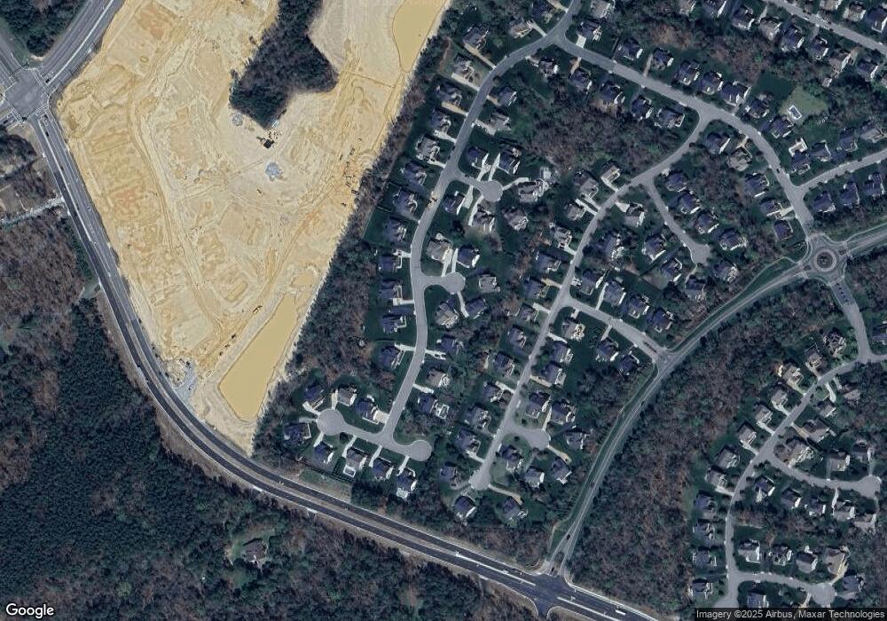
Map
Nearby Homes
- 16411 Creekstone Point Ave
- 16413 Creekstone Point Ave
- 16415 Creekstone Point Ave
- 16417 Creekstone Point Ave
- 16407 Creekstone Point Ave
- 16403 Creekstone Point Ave
- 16416 Creekstone Point Ave
- 16309 Creekstone Point Ave
- 6719 Mayland Ridge Lane;
- 6717 Mayland Ridge Ln
- 6715 Mayland Ridge Ln
- 6713 Mayland Ridge Lane;
- 6701 Blue Iris Ln
- 6703 Blue Iris Ln
- 6800 Calla Lily Dr
- 6724 Mayland Ridge Lane;
- 6705 Blue Iris Ln
- 6700 Blue Iris Ln
- 6716 Mayland Ridge Lane;
- 16213 Heartquake Trace
- 16901 Firefly Cir
- 6807 Buglers Trail Ln
- 6806 Buglers Trail Ln
- 6800 Buglers Trail Ln
- 16900 Firefly Cir
- 16912 Firefly Cir
- 16906 Firefly Cir
- 6813 Buglers Trail Ln
- 6806 Winters Prey Trail
- 6812 Buglers Trail Ln
- 6718 Buglers Trail Ln
- 6812 Winters Prey Trail
- 6800 Winters Prey Trail
- 6818 Winters Prey Trail
- 16907 Arnica Terrace
- 6730 Winters Prey Trail
- 6712 Buglers Trail Ln
- 6724 Buglers Trail Ln
- 6819 Buglers Trail Ln
- 16913 Arnica Terrace