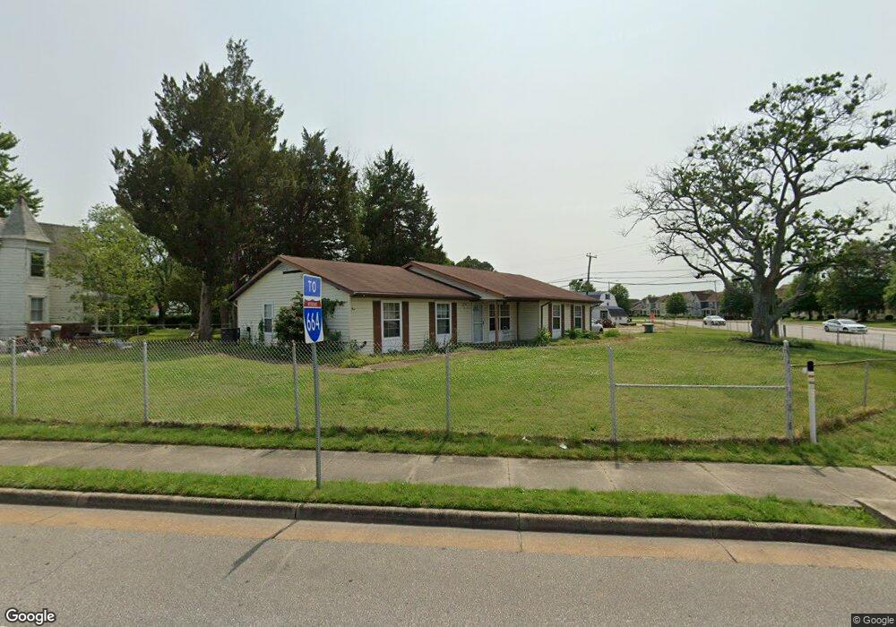
1694 Briarfield Rd Hampton, VA 23669
Briarfield NeighborhoodEstimated Value: $281,855 - $350,000
3
Beds
2
Baths
1,952
Sq Ft
$165/Sq Ft
Est. Value
About This Home
This home is located at 1694 Briarfield Rd, Hampton, VA 23669 and is currently estimated at $321,964, approximately $164 per square foot. 1694 Briarfield Rd is a home located in Hampton City with nearby schools including Aberdeen Elementary School, C. Alton Lindsay Middle School, and Hampton High School.
Ownership History
Date
Name
Owned For
Owner Type
Purchase Details
Closed on
Mar 14, 2011
Sold by
Household Realty Corp Of Va
Bought by
Green Edith B
Current Estimated Value
Home Financials for this Owner
Home Financials are based on the most recent Mortgage that was taken out on this home.
Original Mortgage
$135,923
Outstanding Balance
$93,744
Interest Rate
4.87%
Mortgage Type
FHA
Estimated Equity
$228,220
Purchase Details
Closed on
Jul 9, 2010
Sold by
Equity Trustees Llc Sub Tr
Bought by
Household Realty Corp Of Va
Create a Home Valuation Report for This Property
The Home Valuation Report is an in-depth analysis detailing your home's value as well as a comparison with similar homes in the area
Home Values in the Area
Average Home Value in this Area
Purchase History
| Date | Buyer | Sale Price | Title Company |
|---|---|---|---|
| Green Edith B | $105,000 | -- | |
| Household Realty Corp Of Va | $147,458 | -- |
Source: Public Records
Mortgage History
| Date | Status | Borrower | Loan Amount |
|---|---|---|---|
| Open | Green Edith B | $135,923 |
Source: Public Records
Tax History
| Year | Tax Paid | Tax Assessment Tax Assessment Total Assessment is a certain percentage of the fair market value that is determined by local assessors to be the total taxable value of land and additions on the property. | Land | Improvement |
|---|---|---|---|---|
| 2025 | $3,003 | $251,000 | $45,500 | $205,500 |
| 2024 | $2,849 | $247,700 | $45,500 | $202,200 |
| 2023 | $2,615 | $225,400 | $45,500 | $179,900 |
| 2022 | $2,431 | $206,000 | $42,000 | $164,000 |
| 2021 | $2,300 | $175,000 | $37,000 | $138,000 |
| 2020 | $2,127 | $171,500 | $37,000 | $134,500 |
| 2019 | $2,076 | $167,400 | $37,000 | $130,400 |
| 2018 | $2,169 | $165,500 | $37,000 | $128,500 |
| 2017 | $2,146 | $0 | $0 | $0 |
| 2016 | $2,146 | $165,500 | $0 | $0 |
| 2015 | $2,192 | $0 | $0 | $0 |
| 2014 | $2,183 | $169,200 | $37,800 | $131,400 |
Source: Public Records
Map
Nearby Homes
- 52 Rockingham Dr
- 17 Prince George Dr
- 20 A Lakeside Crescent
- 1111 Celia Ct
- 18 Inlandview Dr Unit B
- 820 Celia Ct
- 205 Hankins Dr
- 28 Saint Johns Dr
- 217 Hankins Dr
- 1704 Neptune Dr
- 17 Northwood Dr
- 1413 W Queen St
- 1036 Randall Ct
- 1027 Barry Ct
- 82 Red Robin Turn
- 681 Bell St
- 129 Jordan Dr
- 27 Hampshire Glen Pkwy
- 2833 Ryland Rd
- 7 E Lewis Rd
- 1690 Briarfield Rd
- 1688 Briarfield Rd
- 1725 Briarfield Rd
- 1723 Briarfield Rd
- 1550 Power Plant Pkwy
- 1721 Briarfield Rd
- 1719 Briarfield Rd
- 1 Ward Dr
- 1686 Briarfield Rd
- 1717 Briarfield Rd
- 1 Rockingham Dr
- 5 Rockingham Dr
- 1715 Briarfield Rd
- 7 Rockingham Dr
- 3 Ward Dr
- 1713 Briarfield Rd
- 11 Rockingham Dr
- 13 Rockingham Dr
- 2 Rockingham Dr
- 4 Rockingham Dr
Your Personal Tour Guide
Ask me questions while you tour the home.