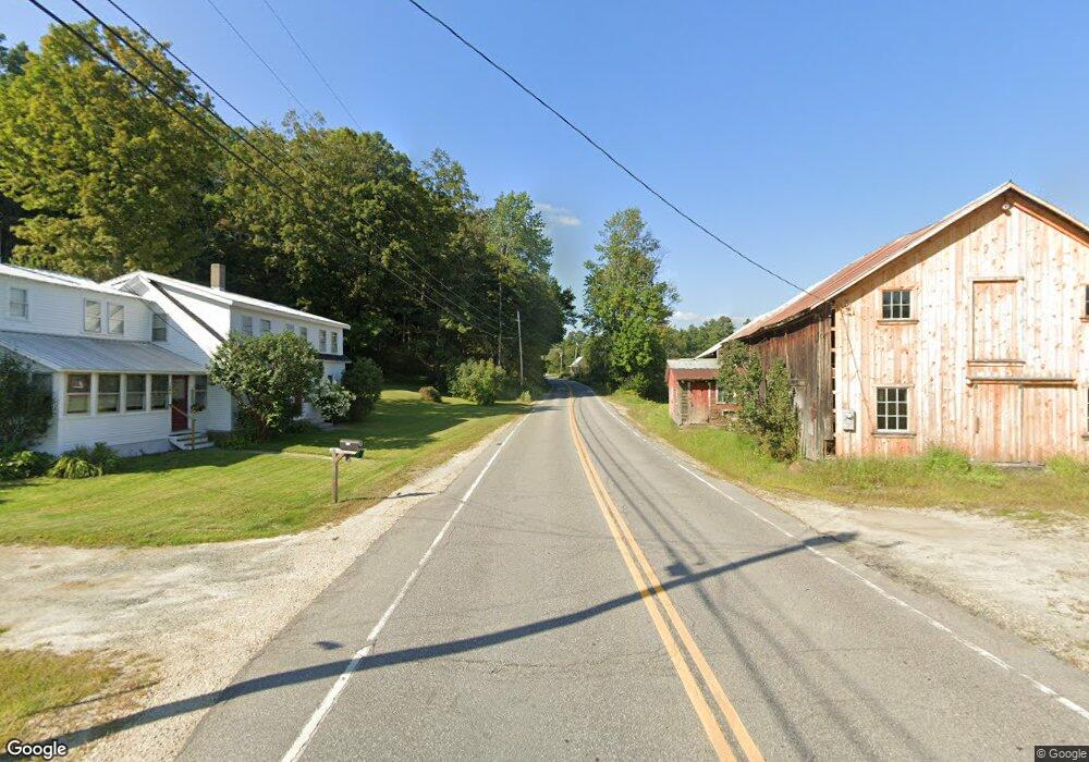
1694 Route 10 N Grantham, NH 03753
Estimated Value: $266,000 - $386,000
3
Beds
1
Bath
1,243
Sq Ft
$259/Sq Ft
Est. Value
About This Home
This home is located at 1694 Route 10 N, Grantham, NH 03753 and is currently estimated at $321,578, approximately $258 per square foot. 1694 Route 10 N is a home located in Sullivan County with nearby schools including Grantham Village School and Lebanon High School.
Ownership History
Date
Name
Owned For
Owner Type
Purchase Details
Closed on
Apr 12, 2004
Sold by
Seaver Marcia
Bought by
Congdon Robert K
Current Estimated Value
Home Financials for this Owner
Home Financials are based on the most recent Mortgage that was taken out on this home.
Original Mortgage
$84,630
Outstanding Balance
$39,659
Interest Rate
5.6%
Mortgage Type
Purchase Money Mortgage
Estimated Equity
$281,919
Purchase Details
Closed on
May 15, 2002
Sold by
Mcguire John E
Bought by
Seaver Marcia
Home Financials for this Owner
Home Financials are based on the most recent Mortgage that was taken out on this home.
Original Mortgage
$65,450
Interest Rate
7.15%
Create a Home Valuation Report for This Property
The Home Valuation Report is an in-depth analysis detailing your home's value as well as a comparison with similar homes in the area
Home Values in the Area
Average Home Value in this Area
Purchase History
| Date | Buyer | Sale Price | Title Company |
|---|---|---|---|
| Congdon Robert K | $80,000 | -- | |
| Seaver Marcia | $77,000 | -- |
Source: Public Records
Mortgage History
| Date | Status | Borrower | Loan Amount |
|---|---|---|---|
| Open | Seaver Marcia | $84,630 | |
| Previous Owner | Seaver Marcia | $65,450 |
Source: Public Records
Tax History Compared to Growth
Tax History
| Year | Tax Paid | Tax Assessment Tax Assessment Total Assessment is a certain percentage of the fair market value that is determined by local assessors to be the total taxable value of land and additions on the property. | Land | Improvement |
|---|---|---|---|---|
| 2024 | $2,916 | $148,700 | $58,900 | $89,800 |
| 2023 | $2,616 | $148,700 | $58,900 | $89,800 |
| 2022 | $2,445 | $148,700 | $58,900 | $89,800 |
| 2021 | $2,670 | $116,500 | $45,200 | $71,300 |
| 2020 | $2,733 | $116,500 | $45,200 | $71,300 |
| 2019 | $2,511 | $97,100 | $34,400 | $62,700 |
| 2018 | $2,533 | $97,100 | $34,400 | $62,700 |
| 2017 | $2,303 | $97,100 | $34,400 | $62,700 |
| 2016 | $2,315 | $97,100 | $34,400 | $62,700 |
| 2015 | $2,342 | $97,100 | $34,400 | $62,700 |
| 2014 | $2,205 | $99,000 | $72,200 | $26,800 |
| 2013 | $2,123 | $99,000 | $72,200 | $26,800 |
Source: Public Records
Map
Nearby Homes
- 295 Frye Ln
- 64 High Pond Rd
- 00 Route 10 N
- 23 High Pond Rd
- 1284 Route 10 N
- 351 Miller Pond Rd
- 8 Old Spring Dr
- 21 Shore Rd
- 6 Anderson Pond Rd
- 303 Road Round the Rd
- 637 Marmot Ln Unit 37
- 3 Water View
- 38 Terrace View
- 12 Cherry Ln
- 49 Old Beach Cir
- 13 Lark Place
- 45 Bright Slope Way
- 8 Sandy Brae
- 3 Trillium Ln
- 461 Bog Rd
- 1683 Route 10 N
- 1660 Route 10 N
- 1721 Route 10 N
- 1730 Route 10 N
- 0 Frye Ln
- 1655 Route 10 N
- 1751 Route 10 N
- 1766 New Hampshire 10
- 1766 Route 10 N
- 1766 120 Route N
- 1765 Route 10 N
- 1583 Route 10 N
- Lot 64 Route 10
- 90 Frye Ln
- 119 Frye Ln
- 1855 Route 10 N
- 1581 Route 10 N
- 1482 Route 10 N
- 27 Smith Hastings Rd
- 73 High Pond Rd