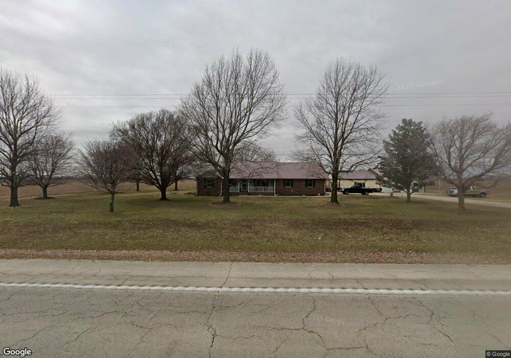
16991 Us Highway 61 Sikeston, MO 63801
Estimated Value: $230,000 - $289,331
3
Beds
1
Bath
1,944
Sq Ft
$130/Sq Ft
Est. Value
About This Home
This home is located at 16991 Us Highway 61, Sikeston, MO 63801 and is currently estimated at $252,083, approximately $129 per square foot. 16991 Us Highway 61 is a home with nearby schools including Central High School.
Ownership History
Date
Name
Owned For
Owner Type
Purchase Details
Closed on
Jun 5, 2020
Sold by
Gregory Clint A and Gregory Amanda B
Bought by
Pigg Phillip and Pigg Marie
Current Estimated Value
Home Financials for this Owner
Home Financials are based on the most recent Mortgage that was taken out on this home.
Original Mortgage
$163,400
Outstanding Balance
$145,112
Interest Rate
3.3%
Mortgage Type
New Conventional
Estimated Equity
$106,971
Purchase Details
Closed on
Jul 15, 2015
Sold by
Gilmer Larry D and Gilmer Monica
Bought by
Gregory Clint A and Gregory Amanda B
Home Financials for this Owner
Home Financials are based on the most recent Mortgage that was taken out on this home.
Original Mortgage
$120,000
Interest Rate
4.08%
Mortgage Type
Purchase Money Mortgage
Create a Home Valuation Report for This Property
The Home Valuation Report is an in-depth analysis detailing your home's value as well as a comparison with similar homes in the area
Purchase History
| Date | Buyer | Sale Price | Title Company |
|---|---|---|---|
| Pigg Phillip | -- | First American Title | |
| Gregory Clint A | -- | National Title |
Source: Public Records
Mortgage History
| Date | Status | Borrower | Loan Amount |
|---|---|---|---|
| Open | Pigg Phillip | $163,400 | |
| Previous Owner | Gregory Clint A | $120,000 |
Source: Public Records
Tax History Compared to Growth
Tax History
| Year | Tax Paid | Tax Assessment Tax Assessment Total Assessment is a certain percentage of the fair market value that is determined by local assessors to be the total taxable value of land and additions on the property. | Land | Improvement |
|---|---|---|---|---|
| 2024 | $1,455 | $31,400 | $1,500 | $29,900 |
| 2023 | $1,461 | $31,400 | $0 | $0 |
| 2022 | $1,360 | $29,410 | $1,480 | $27,930 |
| 2021 | $1,054 | $22,800 | $0 | $0 |
| 2020 | $1,009 | $22,800 | $0 | $0 |
| 2019 | $1,009 | $21,700 | $1,500 | $20,200 |
| 2018 | $972 | $20,890 | $0 | $0 |
| 2017 | $961 | $20,890 | $0 | $0 |
| 2016 | -- | $20,860 | $0 | $0 |
| 2015 | -- | $20,540 | $0 | $0 |
| 2014 | -- | $20,540 | $0 | $0 |
Source: Public Records
Map
Nearby Homes
- 100 Summit St
- 103 N Calvin St
- 116 Hospitality Dr
- 1201 Yosemite
- 139 Pharris Ridge Dr
- 109 Stallcup Dr
- 806 Innsbruck Ln
- 807 Bollweevil Blvd
- 801 Bollweevil Blvd
- 811 Bollweevil Blvd
- 809 Bollweevil Blvd
- 803 Bollweevil Blvd
- 119 Depro Ave
- 830 Woodruff Ave
- 811 Cotton Ridge Dr
- 800 Cotton Ridge Dr
- 810 Cotton Ridge Dr
- 804 Cotton Ridge Dr
- 806 Cotton Ridge Dr
- 808 Cotton Ridge Dr