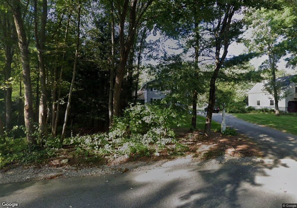
17 Apple Blossom Rd Andover, MA 01810
Haggetts NeighborhoodEstimated Value: $1,002,412 - $1,473,000
4
Beds
3
Baths
2,998
Sq Ft
$397/Sq Ft
Est. Value
About This Home
This home is located at 17 Apple Blossom Rd, Andover, MA 01810 and is currently estimated at $1,189,103, approximately $396 per square foot. 17 Apple Blossom Rd is a home located in Essex County with nearby schools including Henry C. Sanborn Elementary School, Wood Hill Middle School, and Andover High School.
Ownership History
Date
Name
Owned For
Owner Type
Purchase Details
Closed on
Sep 2, 2009
Sold by
Kipling Kent K and Kipling Peggy
Bought by
Savarese Ralph B and Savarese Jessica C
Current Estimated Value
Purchase Details
Closed on
Nov 19, 2004
Sold by
Borek Robert A and Borek Tina C
Bought by
Kipling Kent K and Kipling Peggy
Purchase Details
Closed on
Apr 15, 1999
Sold by
Sampson Paul D
Bought by
Borek Robert A
Create a Home Valuation Report for This Property
The Home Valuation Report is an in-depth analysis detailing your home's value as well as a comparison with similar homes in the area
Home Values in the Area
Average Home Value in this Area
Purchase History
| Date | Buyer | Sale Price | Title Company |
|---|---|---|---|
| Savarese Ralph B | $545,000 | -- | |
| Savarese Ralph B | $545,000 | -- | |
| Kipling Kent K | $625,000 | -- | |
| Kipling Kent K | $625,000 | -- | |
| Borek Robert A | $353,000 | -- | |
| Borek Robert A | $353,000 | -- |
Source: Public Records
Mortgage History
| Date | Status | Borrower | Loan Amount |
|---|---|---|---|
| Open | Borek Robert A | $375,000 | |
| Closed | Borek Robert A | $385,500 |
Source: Public Records
Tax History Compared to Growth
Tax History
| Year | Tax Paid | Tax Assessment Tax Assessment Total Assessment is a certain percentage of the fair market value that is determined by local assessors to be the total taxable value of land and additions on the property. | Land | Improvement |
|---|---|---|---|---|
| 2024 | $10,517 | $816,500 | $436,100 | $380,400 |
| 2023 | $9,832 | $719,800 | $372,800 | $347,000 |
| 2022 | $9,575 | $655,800 | $336,000 | $319,800 |
| 2021 | $9,215 | $602,700 | $305,600 | $297,100 |
| 2020 | $8,989 | $598,900 | $305,600 | $293,300 |
| 2019 | $8,880 | $581,500 | $305,600 | $275,900 |
| 2018 | $8,655 | $553,400 | $296,800 | $256,600 |
| 2017 | $8,310 | $547,400 | $290,800 | $256,600 |
| 2016 | $8,150 | $549,900 | $290,800 | $259,100 |
| 2015 | $8,046 | $537,500 | $290,800 | $246,700 |
Source: Public Records
Map
Nearby Homes
- 58 Blanchard St
- 69 Blanchard St
- 14 Regis Rd
- 14 Geneva Rd
- 15 Geneva Rd
- 22 Haggetts Pond Rd
- 4 Hazelwood Cir
- 18 Dale St Unit 4G
- 97 Kendall Rd
- 1170 Livingston St
- 399 North St
- 101 Barry Dr
- 18 Bryan Ln Unit 18
- 177 Apache Way Unit 177
- 20 Sophie Ruth Way
- 37 Crenshaw Ln Unit 37
- 105 Central St
- 103 Central St
- 13 Berkeley
- 43 Patrick Rd
- 19 Apple Blossom Rd
- 15 Apple Blossom Rd
- 11 Apple Blossom Rd
- 21 Apple Blossom Rd
- 14 Apple Blossom Rd
- 18 Apple Blossom Rd
- 9 Apple Blossom Rd
- 16 Apple Blossom Rd
- 12 Apple Blossom Rd
- 7 Apple Blossom Rd
- 5 Apple Blossom Rd
- 10 Apple Blossom Rd
- 98 Osgood St
- 3 Apple Blossom Rd
- 94 Osgood St
- 6 Apple Blossom Rd
- 102 Osgood St
- 86 Osgood St
- 106 Osgood St
- 15 Devonshire Place