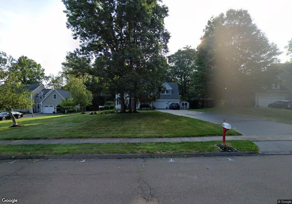
17 Brockett Rd Wallingford, CT 06492
Estimated Value: $658,829 - $688,000
4
Beds
3
Baths
2,233
Sq Ft
$301/Sq Ft
Est. Value
About This Home
This home is located at 17 Brockett Rd, Wallingford, CT 06492 and is currently estimated at $671,707, approximately $300 per square foot. 17 Brockett Rd is a home located in New Haven County with nearby schools including Highland Elementary School, Mary G. Fritz Elementary School, and James H. Moran Middle School.
Ownership History
Date
Name
Owned For
Owner Type
Purchase Details
Closed on
May 20, 1997
Sold by
Carrier Enterprises
Bought by
Masson Dana P and Masson Jane M
Current Estimated Value
Home Financials for this Owner
Home Financials are based on the most recent Mortgage that was taken out on this home.
Original Mortgage
$193,800
Interest Rate
8.12%
Mortgage Type
Unknown
Create a Home Valuation Report for This Property
The Home Valuation Report is an in-depth analysis detailing your home's value as well as a comparison with similar homes in the area
Home Values in the Area
Average Home Value in this Area
Purchase History
| Date | Buyer | Sale Price | Title Company |
|---|---|---|---|
| Masson Dana P | $242,265 | -- | |
| Masson Dana P | $242,265 | -- |
Source: Public Records
Mortgage History
| Date | Status | Borrower | Loan Amount |
|---|---|---|---|
| Closed | Masson Dana P | $148,000 | |
| Closed | Masson Dana P | $20,000 | |
| Closed | Masson Dana P | $20,000 | |
| Closed | Masson Dana P | $193,800 |
Source: Public Records
Tax History
| Year | Tax Paid | Tax Assessment Tax Assessment Total Assessment is a certain percentage of the fair market value that is determined by local assessors to be the total taxable value of land and additions on the property. | Land | Improvement |
|---|---|---|---|---|
| 2025 | $9,482 | $393,100 | $103,800 | $289,300 |
| 2024 | $8,444 | $275,400 | $86,500 | $188,900 |
| 2023 | $8,080 | $275,400 | $86,500 | $188,900 |
| 2022 | $7,998 | $275,400 | $86,500 | $188,900 |
| 2021 | $7,413 | $275,400 | $86,500 | $188,900 |
| 2020 | $29,702 | $269,100 | $96,800 | $172,300 |
| 2019 | $7,855 | $269,100 | $96,800 | $172,300 |
| 2018 | $9,909 | $269,100 | $96,800 | $172,300 |
| 2017 | $6,950 | $269,100 | $96,800 | $172,300 |
| 2016 | $7,505 | $269,100 | $96,800 | $172,300 |
| 2015 | $7,620 | $277,400 | $96,800 | $180,600 |
| 2014 | $7,459 | $277,400 | $96,800 | $180,600 |
Source: Public Records
Map
Nearby Homes
- 201 New Cheshire Rd
- 26 Cassella Dr
- 100 Spice Hill Dr
- 68 Lynn Dr
- 63 Spice Hill Dr
- 44 Douglas Dr
- 1 Village View Terrace Unit 1
- 13 Bailey Ave
- 97 Race Brook Rd
- 1 Bertini Ln
- 1130 Hanover Ave
- 550 New Hanover Ave
- 15 Hanover St
- 34 Hillside St
- 1012 Old Colony Rd Unit LOT 81
- 84 Staffordshire Commons Dr
- 72 Staffordshire Commons Dr
- 4 Gregory Rd
- 324 S Meriden Rd
- 25 Andrews St
- 19 Brockett Rd
- 15 Brockett Rd
- 6 Kazersky Dr
- 21 Brockett Rd
- 5 Compass Rock Ln
- 20 Brockett Rd
- 4 Kazersky Dr
- 22 Brockett Rd
- 24 Brockett Rd
- 16 Brockett Rd
- 8 Compass Rock Ln
- 171 Chimney Hill Rd
- 11 Brockett Rd
- 12 Kazersky Dr
- 6 Compass Rock Ln
- 2 Kazersky Dr
- 14 Brockett Rd
- 14 Kazersky Dr
- 4 Compass Rock Ln
- 12 Brockett Rd
Your Personal Tour Guide
Ask me questions while you tour the home.