17 Brookside Way Missoula, MT 59802
Upper Rattlesnake NeighborhoodEstimated Value: $580,995 - $745,000
2
Beds
2
Baths
1,462
Sq Ft
$437/Sq Ft
Est. Value
About This Home
This home is located at 17 Brookside Way, Missoula, MT 59802 and is currently estimated at $638,499, approximately $436 per square foot. 17 Brookside Way is a home located in Missoula County with nearby schools including Rattlesnake Elementary School, Washington Middle School, and Hellgate High School.
Ownership History
Date
Name
Owned For
Owner Type
Purchase Details
Closed on
Dec 7, 2012
Sold by
Izzo Vincent
Bought by
Huggins Larry T and Huggins Kitt
Current Estimated Value
Home Financials for this Owner
Home Financials are based on the most recent Mortgage that was taken out on this home.
Original Mortgage
$125,000
Outstanding Balance
$86,564
Interest Rate
3.36%
Mortgage Type
New Conventional
Estimated Equity
$551,935
Purchase Details
Closed on
Dec 22, 2005
Sold by
Fickinger Simon Theodore and Estate Of Mabel A Fickinger
Bought by
Izzo Vincent
Home Financials for this Owner
Home Financials are based on the most recent Mortgage that was taken out on this home.
Original Mortgage
$200,000
Interest Rate
6.35%
Mortgage Type
Fannie Mae Freddie Mac
Purchase Details
Closed on
Oct 2, 2002
Sold by
Wilcox A Warren
Bought by
Fickinger Simon T and Fickinger Mabel A
Create a Home Valuation Report for This Property
The Home Valuation Report is an in-depth analysis detailing your home's value as well as a comparison with similar homes in the area
Home Values in the Area
Average Home Value in this Area
Purchase History
| Date | Buyer | Sale Price | Title Company |
|---|---|---|---|
| Huggins Larry T | -- | First American Title Company | |
| Izzo Vincent | -- | Stm | |
| Fickinger Simon T | -- | -- |
Source: Public Records
Mortgage History
| Date | Status | Borrower | Loan Amount |
|---|---|---|---|
| Open | Huggins Larry T | $125,000 | |
| Previous Owner | Izzo Vincent | $200,000 |
Source: Public Records
Tax History
| Year | Tax Paid | Tax Assessment Tax Assessment Total Assessment is a certain percentage of the fair market value that is determined by local assessors to be the total taxable value of land and additions on the property. | Land | Improvement |
|---|---|---|---|---|
| 2025 | $5,277 | $555,200 | $314,425 | $240,775 |
| 2024 | $5,485 | $415,200 | $100,134 | $315,066 |
| 2023 | $5,291 | $450,700 | $100,134 | $350,566 |
| 2022 | $4,742 | $350,400 | $0 | $0 |
| 2021 | $4,256 | $350,400 | $0 | $0 |
| 2020 | $4,518 | $345,100 | $0 | $0 |
| 2019 | $4,503 | $345,100 | $0 | $0 |
| 2018 | $4,644 | $346,100 | $0 | $0 |
| 2017 | $4,147 | $346,100 | $0 | $0 |
| 2016 | $3,585 | $283,600 | $0 | $0 |
| 2015 | $3,316 | $283,600 | $0 | $0 |
| 2014 | $2,985 | $143,789 | $0 | $0 |
Source: Public Records
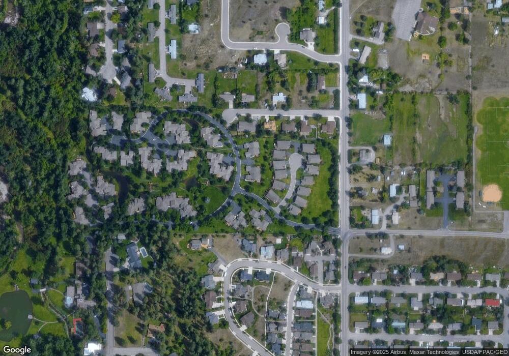
Map
Nearby Homes
- 42 Brookside Way
- 1625 Sunflower Dr
- 19 Columbine Rd
- 4175 Rattlesnake Dr
- 4280 Fox Farm Rd
- 1300 Dickinson St
- 2606 Sycamore St
- 521 Arbor Dr
- 2411 Raymond Ave
- 11 Contour Rd
- 2761 Contour Rd
- 2215 Raymond Ave
- 1227 Basecamp Dr Unit A
- 1250 Basecamp Dr Unit F
- 2201 Greenough Ct W
- 2 Elk Ridge Ct
- 1811 Elison Ln
- 632 N 5th St W Unit A,B,C,D,F
- 1220 Kennett Ave Unit C
- 1220 Kennett Ave Unit D
- 53 Brookside Way
- 54 Brookside Way
- 16 Brookside Way
- 55 Brookside Way
- 15 Brookside Way
- 12 Brookside Way
- 13 Brookside Way
- 13 Brookside
- 61 Brookside Way
- 11 Brookside Way
- 10 Brookside Way
- 56 Brookside Way
- 9 Brookside Way
- 62 Brookside Way
- 63 Brookside Way
- 63 Brookside Way
- 8 Brookside Way
- 20 Brookside Way
- 64 Brookside Way
- 19 Brookside Way
Your Personal Tour Guide
Ask me questions while you tour the home.