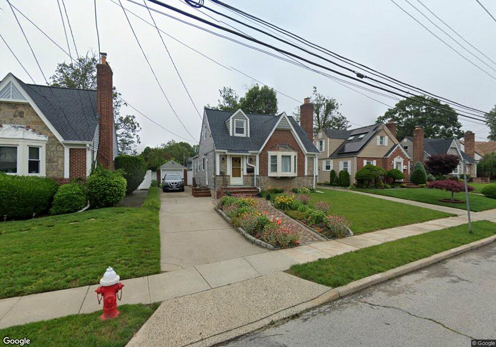
17 Carol St West Hempstead, NY 11552
Estimated Value: $716,309 - $775,000
4
Beds
3
Baths
1,701
Sq Ft
$438/Sq Ft
Est. Value
About This Home
This home is located at 17 Carol St, West Hempstead, NY 11552 and is currently estimated at $745,655, approximately $438 per square foot. 17 Carol St is a home located in Nassau County with nearby schools including Davison Avenue Intermediate School, Maurice W. Downing Primary K-2 School, and Howard T Herber Middle School.
Ownership History
Date
Name
Owned For
Owner Type
Purchase Details
Closed on
Jul 28, 2016
Sold by
Norville Keith E
Bought by
Norville Keith E
Current Estimated Value
Purchase Details
Closed on
Sep 18, 2013
Sold by
Richards Paula
Bought by
Norville Keithe E and Carannante Christina
Home Financials for this Owner
Home Financials are based on the most recent Mortgage that was taken out on this home.
Original Mortgage
$300,200
Outstanding Balance
$225,867
Interest Rate
4.61%
Estimated Equity
$519,788
Create a Home Valuation Report for This Property
The Home Valuation Report is an in-depth analysis detailing your home's value as well as a comparison with similar homes in the area
Home Values in the Area
Average Home Value in this Area
Purchase History
| Date | Buyer | Sale Price | Title Company |
|---|---|---|---|
| Norville Keith E | -- | Titlevest | |
| Norville Keithe E | $325,000 | The Judicial Title Insurance |
Source: Public Records
Mortgage History
| Date | Status | Borrower | Loan Amount |
|---|---|---|---|
| Open | Norville Keithe E | $300,200 |
Source: Public Records
Tax History Compared to Growth
Tax History
| Year | Tax Paid | Tax Assessment Tax Assessment Total Assessment is a certain percentage of the fair market value that is determined by local assessors to be the total taxable value of land and additions on the property. | Land | Improvement |
|---|---|---|---|---|
| 2025 | $12,818 | $429 | $146 | $283 |
| 2024 | $4,488 | $458 | $156 | $302 |
| 2023 | $12,369 | $458 | $156 | $302 |
| 2022 | $12,369 | $446 | $156 | $290 |
| 2021 | $15,486 | $421 | $143 | $278 |
| 2020 | $10,615 | $508 | $343 | $165 |
| 2019 | $10,132 | $596 | $332 | $264 |
| 2018 | $11,225 | $753 | $0 | $0 |
| 2017 | $8,414 | $753 | $419 | $334 |
| 2016 | $12,843 | $753 | $419 | $334 |
| 2015 | $4,145 | $753 | $419 | $334 |
| 2014 | $4,145 | $753 | $419 | $334 |
| 2013 | $3,903 | $753 | $419 | $334 |
Source: Public Records
Map
Nearby Homes
- 5 Juliette Rd
- 49 Carol St
- 966 Woodfield Rd
- 55 Melvin Ave
- 841 Woodfield Rd
- 2 Canandaigua Ave
- 747 Janos Ln
- 729 Janos Ln
- 10 Pinebrook Ave
- 1024 Mahopac Rd
- 1050 Mahopac Rd
- 450 Rhodes Ln
- 815 Sunshine Ave
- 0 Rhodes Ln
- 7 Hopatcong Ave
- 461 Pinebrook Ave
- 538 Champlain Ave
- 419 Coolidge Ave
- 924 Otsego Ct
- 1025 Ontario Rd