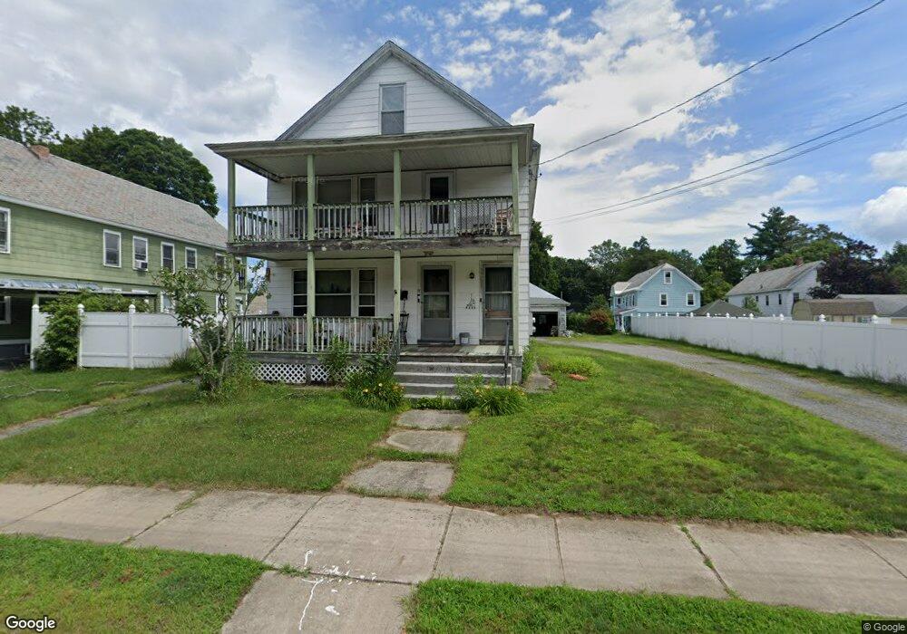
17 Chestnut St Turners Falls, MA 01376
Estimated Value: $273,430 - $359,000
6
Beds
2
Baths
2,964
Sq Ft
$107/Sq Ft
Est. Value
About This Home
This home is located at 17 Chestnut St, Turners Falls, MA 01376 and is currently estimated at $318,108, approximately $107 per square foot. 17 Chestnut St is a home located in Franklin County with nearby schools including Holy Trinity School and Four Winds School.
Ownership History
Date
Name
Owned For
Owner Type
Purchase Details
Closed on
Dec 30, 2011
Sold by
Shattuck Kristen
Bought by
Reipold April J and Reipold Michael
Current Estimated Value
Home Financials for this Owner
Home Financials are based on the most recent Mortgage that was taken out on this home.
Original Mortgage
$142,785
Outstanding Balance
$96,658
Interest Rate
3.87%
Mortgage Type
FHA
Estimated Equity
$221,450
Purchase Details
Closed on
May 20, 1994
Sold by
Sazama Therese A
Bought by
Wells Rae E
Home Financials for this Owner
Home Financials are based on the most recent Mortgage that was taken out on this home.
Original Mortgage
$83,845
Interest Rate
8.44%
Mortgage Type
Purchase Money Mortgage
Create a Home Valuation Report for This Property
The Home Valuation Report is an in-depth analysis detailing your home's value as well as a comparison with similar homes in the area
Home Values in the Area
Average Home Value in this Area
Purchase History
| Date | Buyer | Sale Price | Title Company |
|---|---|---|---|
| Reipold April J | $146,500 | -- | |
| Reipold April J | $146,500 | -- | |
| Wells Rae E | $84,000 | -- | |
| Wells Rae E | $84,000 | -- |
Source: Public Records
Mortgage History
| Date | Status | Borrower | Loan Amount |
|---|---|---|---|
| Open | Reipold April J | $142,785 | |
| Closed | Wells Rae E | $142,785 | |
| Previous Owner | Wells Rae E | $83,845 |
Source: Public Records
Tax History Compared to Growth
Tax History
| Year | Tax Paid | Tax Assessment Tax Assessment Total Assessment is a certain percentage of the fair market value that is determined by local assessors to be the total taxable value of land and additions on the property. | Land | Improvement |
|---|---|---|---|---|
| 2025 | $3,628 | $238,500 | $55,500 | $183,000 |
| 2024 | $3,446 | $219,500 | $55,500 | $164,000 |
| 2023 | $3,219 | $205,700 | $55,500 | $150,200 |
| 2022 | $3,179 | $189,700 | $55,500 | $134,200 |
| 2021 | $3,090 | $177,200 | $45,800 | $131,400 |
| 2020 | $80 | $169,400 | $45,800 | $123,600 |
| 2019 | $82 | $160,900 | $51,300 | $109,600 |
| 2018 | $4,050 | $160,900 | $51,300 | $109,600 |
| 2017 | $78 | $160,900 | $51,300 | $109,600 |
| 2016 | $2,781 | $157,900 | $50,100 | $107,800 |
| 2015 | $2,678 | $157,900 | $50,100 | $107,800 |
| 2014 | $2,580 | $157,900 | $50,100 | $107,800 |
Source: Public Records
Map
Nearby Homes
- 21 Hillside Ave
- 30 Park St
- 0 Millers Falls Rd Unit 73034825
- 45 Millers Falls Rd
- 89 Montague St
- 2 Alice St
- 114 Montague St
- 202 Turnpike Rd
- 183 Millers Falls Rd
- 79 Burnham Rd
- 55 A + B Randall Rd
- 38 Randall Wood Dr
- 001 Adams Rd
- 696 Bernardston Rd
- 72 Meadowood Dr
- 31 Lovers Ln
- 182 Main Rd
- 335 Federal St
- 93 Maple St
- 10 Tulip Ln