17 Deacon Ln Sudbury, MA 01776
Estimated Value: $1,135,809 - $1,337,000
3
Beds
4
Baths
2,842
Sq Ft
$429/Sq Ft
Est. Value
About This Home
This home is located at 17 Deacon Ln, Sudbury, MA 01776 and is currently estimated at $1,220,452, approximately $429 per square foot. 17 Deacon Ln is a home located in Middlesex County with nearby schools including Josiah Haynes Elementary School, Ephraim Curtis Middle School, and Lincoln-Sudbury Regional High School.
Ownership History
Date
Name
Owned For
Owner Type
Purchase Details
Closed on
Dec 1, 2014
Sold by
Mollo-Christensen Jan E and Mollo-Christensen Mary V
Bought by
V Mollo Christensen M
Current Estimated Value
Purchase Details
Closed on
Jan 19, 1971
Bought by
Mollo-Christensen J E and Mollo-Christensen M
Create a Home Valuation Report for This Property
The Home Valuation Report is an in-depth analysis detailing your home's value as well as a comparison with similar homes in the area
Home Values in the Area
Average Home Value in this Area
Purchase History
| Date | Buyer | Sale Price | Title Company |
|---|---|---|---|
| V Mollo Christensen M | -- | -- | |
| V Mollo Christensen M | -- | -- | |
| Mollo-Christensen J E | -- | -- |
Source: Public Records
Mortgage History
| Date | Status | Borrower | Loan Amount |
|---|---|---|---|
| Previous Owner | Mollo-Christensen J E | $190,000 | |
| Previous Owner | Mollo-Christensen J E | $52,000 | |
| Previous Owner | Mollo-Christensen J E | $40,000 |
Source: Public Records
Tax History Compared to Growth
Tax History
| Year | Tax Paid | Tax Assessment Tax Assessment Total Assessment is a certain percentage of the fair market value that is determined by local assessors to be the total taxable value of land and additions on the property. | Land | Improvement |
|---|---|---|---|---|
| 2025 | $15,248 | $1,041,500 | $501,400 | $540,100 |
| 2024 | $14,712 | $1,007,000 | $487,000 | $520,000 |
| 2023 | $13,602 | $862,500 | $435,000 | $427,500 |
| 2022 | $12,996 | $720,000 | $399,000 | $321,000 |
| 2021 | $12,654 | $672,000 | $399,000 | $273,000 |
| 2020 | $12,398 | $672,000 | $399,000 | $273,000 |
| 2019 | $11,883 | $663,500 | $399,000 | $264,500 |
| 2018 | $11,855 | $661,200 | $424,600 | $236,600 |
| 2017 | $11,293 | $636,600 | $421,000 | $215,600 |
| 2016 | $10,922 | $613,600 | $405,000 | $208,600 |
| 2015 | $10,553 | $599,600 | $393,400 | $206,200 |
| 2014 | $10,519 | $583,400 | $381,800 | $201,600 |
Source: Public Records
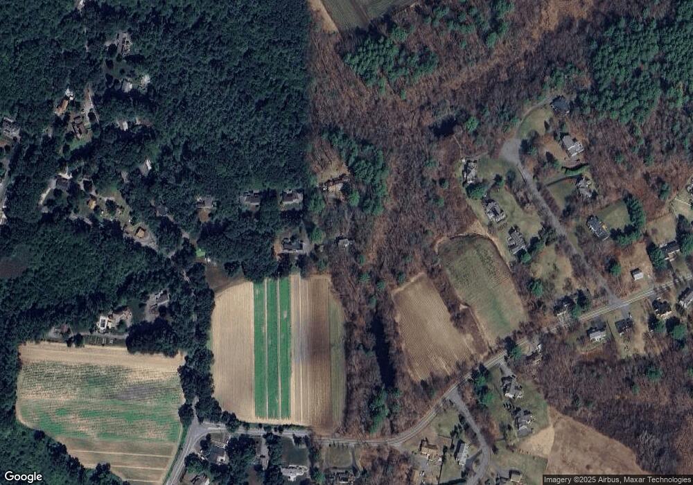
Map
Nearby Homes
- 14 Frost Ln
- 941 Concord Rd
- 42 Dakin Rd
- Lot 5 Sailaway Ln
- 45 N Crescent Cir
- Lot 4 Sailaway Ln
- 2 Betts Way
- 8 Mina Way
- 0 Elm Unit 73282184
- Lot 9 Sailaway Ln
- 4 Betts Way
- 122 Sand Gully Rd N Unit B
- 401 Emery Ln Unit 304
- 63 Canterbury Dr
- 121 White Pond Way Unit 121
- 24 Rookery Ln Unit 6
- 56 Rookery Ln Unit 4
- 16 Blacksmith Dr
- 40 Rookery Ln Unit 5
- 72 Rookery Ln Unit 3