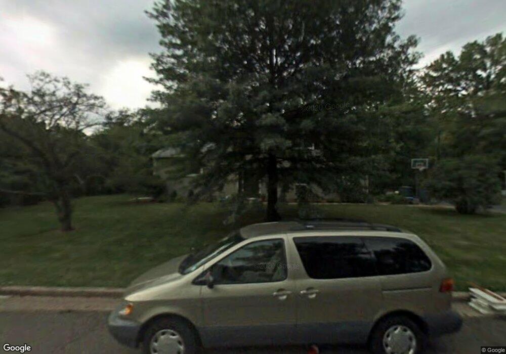
17 Devon Rd Edison, NJ 08820
Estimated Value: $778,357 - $972,000
Studio
--
Bath
2,304
Sq Ft
$389/Sq Ft
Est. Value
About This Home
This home is located at 17 Devon Rd, Edison, NJ 08820 and is currently estimated at $895,839, approximately $388 per square foot. 17 Devon Rd is a home located in Middlesex County with nearby schools including Martin Luther King Elementary School, Woodrow Wilson Middle School, and J.P. Stevens High School.
Ownership History
Date
Name
Owned For
Owner Type
Purchase Details
Closed on
Aug 5, 2019
Sold by
Klenetsky Melvin and Klenetski Kathleen M
Bought by
Klenetsky Melvin and Klenetsky Kathleen M
Current Estimated Value
Home Financials for this Owner
Home Financials are based on the most recent Mortgage that was taken out on this home.
Original Mortgage
$286,000
Outstanding Balance
$249,965
Interest Rate
3.6%
Mortgage Type
New Conventional
Estimated Equity
$645,874
Purchase Details
Closed on
Apr 18, 2000
Sold by
Press Jerome
Bought by
Klenetsky Melvin and Klenetsky Kathleen
Home Financials for this Owner
Home Financials are based on the most recent Mortgage that was taken out on this home.
Original Mortgage
$214,000
Interest Rate
8.21%
Create a Home Valuation Report for This Property
The Home Valuation Report is an in-depth analysis detailing your home's value as well as a comparison with similar homes in the area
Home Values in the Area
Average Home Value in this Area
Purchase History
| Date | Buyer | Sale Price | Title Company |
|---|---|---|---|
| Klenetsky Melvin | -- | Mortgage Connect Lp | |
| Klenetsky Melvin | $267,500 | -- |
Source: Public Records
Mortgage History
| Date | Status | Borrower | Loan Amount |
|---|---|---|---|
| Open | Klenetsky Melvin | $286,000 | |
| Closed | Klenetsky Melvin | $214,000 |
Source: Public Records
Tax History
| Year | Tax Paid | Tax Assessment Tax Assessment Total Assessment is a certain percentage of the fair market value that is determined by local assessors to be the total taxable value of land and additions on the property. | Land | Improvement |
|---|---|---|---|---|
| 2025 | $14,109 | $237,000 | $118,400 | $118,600 |
| 2024 | $14,033 | $237,000 | $118,400 | $118,600 |
Source: Public Records
Map
Nearby Homes
- 454 Plainfield Rd
- 354 Plainfield Rd
- 24 Norton St
- 1868 Oak Tree Rd
- 1125 New Dover Rd
- 1123 New Dover Rd
- 64 Richard Rd
- 48 Lynnwood Rd
- 3 Hummingbird Ln
- 21 Williams Rd
- 4 David Ct
- 1821 Oak Tree Rd
- 8 Stephenville Pkwy
- 3996 Park Ave
- 177 Mundy Ave
- 3851 Park Ave
- 265 Plainfield Rd
- 9 Links Dr
- 3788 Park Ave
- 3774 Park Ave Unit 1
Your Personal Tour Guide
Ask me questions while you tour the home.