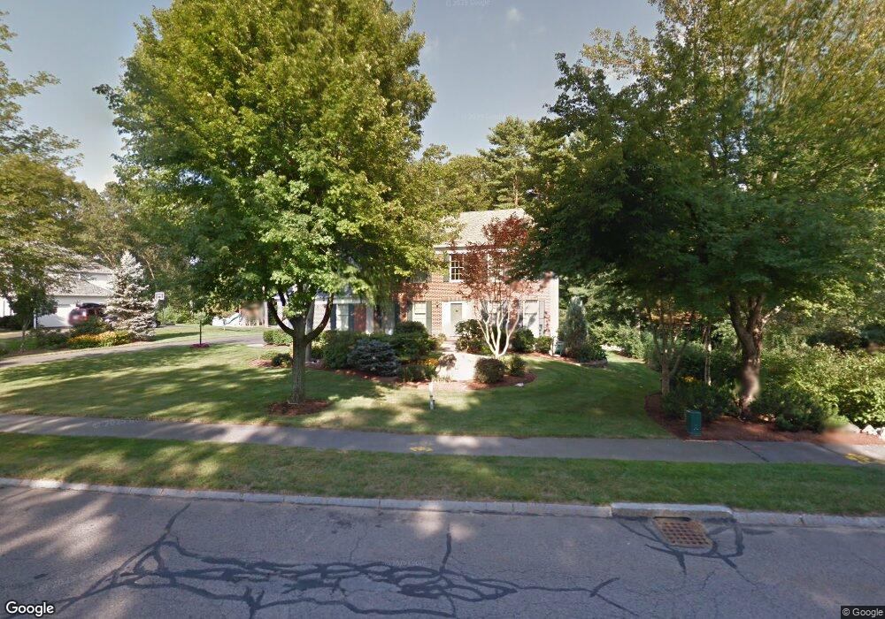
17 Echo Bridge Rd Franklin, MA 02038
Estimated Value: $900,757 - $1,142,000
4
Beds
3
Baths
2,598
Sq Ft
$379/Sq Ft
Est. Value
About This Home
This home is located at 17 Echo Bridge Rd, Franklin, MA 02038 and is currently estimated at $984,939, approximately $379 per square foot. 17 Echo Bridge Rd is a home located in Norfolk County with nearby schools including Oak Street Elementary School, Horace Mann Middle School, and Franklin High School.
Ownership History
Date
Name
Owned For
Owner Type
Purchase Details
Closed on
Dec 30, 1997
Sold by
Powell Darrell M and Powell Susan F
Bought by
Herreilers Bruce F and Herreilers Deborah K
Current Estimated Value
Purchase Details
Closed on
Apr 27, 1992
Sold by
Franklin Farms Lp
Bought by
Powell Darrell M and Powell Susan
Home Financials for this Owner
Home Financials are based on the most recent Mortgage that was taken out on this home.
Original Mortgage
$202,300
Interest Rate
8.78%
Mortgage Type
Purchase Money Mortgage
Create a Home Valuation Report for This Property
The Home Valuation Report is an in-depth analysis detailing your home's value as well as a comparison with similar homes in the area
Purchase History
We collect this data history from publicly available records. To have your information removed, we recommend requesting removal directly through your county’s website.
| Date | Buyer | Sale Price | Title Company |
|---|---|---|---|
| Herreilers Bruce F | $282,500 | -- | |
| Powell Darrell M | $255,192 | -- |
Source: Public Records
Mortgage History
We collect this data history from publicly available records. To have your information removed, we recommend requesting removal directly through your county’s website.
| Date | Status | Borrower | Loan Amount |
|---|---|---|---|
| Previous Owner | Powell Darrell M | $197,000 | |
| Previous Owner | Powell Darrell M | $197,000 | |
| Previous Owner | Powell Darrell M | $202,300 |
Source: Public Records
Tax History
| Year | Tax Paid | Tax Assessment Tax Assessment Total Assessment is a certain percentage of the fair market value that is determined by local assessors to be the total taxable value of land and additions on the property. | Land | Improvement |
|---|---|---|---|---|
| 2025 | $9,434 | $811,900 | $363,900 | $448,000 |
| 2024 | $9,572 | $811,900 | $363,900 | $448,000 |
| 2023 | $9,372 | $745,000 | $337,700 | $407,300 |
| 2022 | $9,147 | $651,000 | $291,100 | $359,900 |
| 2021 | $8,581 | $585,700 | $279,200 | $306,500 |
| 2020 | $8,326 | $573,800 | $282,100 | $291,700 |
| 2019 | $8,366 | $570,700 | $279,200 | $291,500 |
| 2018 | $7,820 | $533,800 | $276,400 | $257,400 |
| 2017 | $7,907 | $542,300 | $284,900 | $257,400 |
| 2016 | $7,301 | $503,500 | $246,500 | $257,000 |
| 2015 | $7,343 | $494,800 | $237,800 | $257,000 |
| 2014 | $6,865 | $475,100 | $218,100 | $257,000 |
Source: Public Records
Map
Nearby Homes
- 2 Downingwood Dr
- 472 Coronation Dr
- 41 Kimberlee Ave
- 6 Edmunds Way
- 67 Bridle Path
- 2412 Franklin Crossing Rd Unit 2412
- 1811 Franklin Crossing Rd Unit 1811
- 25 Brookview Rd
- 119 Highwood Dr
- 38 Highwood Dr
- 9 Catherine Ave
- 23 Highwood Dr
- 3 Edwards St
- 14 Lexington St
- 834-836 W Central St
- 6 Hancock Rd
- 360 W Central St
- 17 Longhill Rd
- 61 Pine Ridge Dr
- 65 Grey Wolf Dr Unit 65
- 19 Echo Bridge Rd
- 15 Echo Bridge Rd
- 13 Echo Bridge Rd
- 21 Echo Bridge Rd
- 18 Echo Bridge Rd
- 16 Echo Bridge Rd
- 20 Echo Bridge Rd
- 1 Maple Brook Ln
- 27 Charles River Dr
- 23 Charles River Dr
- 11 Echo Bridge Rd
- 29 Charles River Dr
- 3 Maple Brook Ln
- 5 Mill River Cir
- 17 Charles River Dr
- 2 Sewall Brook Ct
- 31 Charles River Dr
- 19 Charles River Dr
- 12 Echo Bridge Rd
- 18 Mill River Cir
Your Personal Tour Guide
Ask me questions while you tour the home.