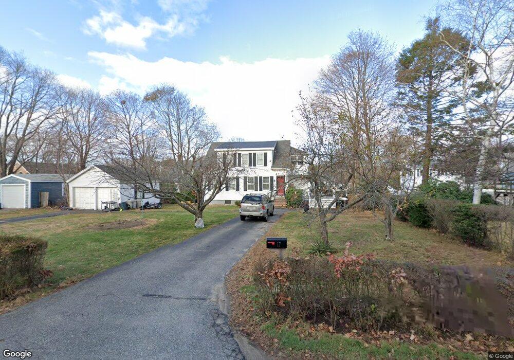
17 Fairchild Ave Saugus, MA 01906
Lynnhurst NeighborhoodEstimated Value: $638,039 - $680,000
4
Beds
2
Baths
1,537
Sq Ft
$429/Sq Ft
Est. Value
About This Home
This home is located at 17 Fairchild Ave, Saugus, MA 01906 and is currently estimated at $659,260, approximately $428 per square foot. 17 Fairchild Ave is a home located in Essex County with nearby schools including Saugus High School and Pioneer Charter School Of Science II.
Ownership History
Date
Name
Owned For
Owner Type
Purchase Details
Closed on
Jul 18, 2016
Sold by
Strout Michael C and Strout Stephanie D
Bought by
Strout Michael C and Strout Stephanie D
Current Estimated Value
Home Financials for this Owner
Home Financials are based on the most recent Mortgage that was taken out on this home.
Original Mortgage
$288,800
Outstanding Balance
$231,142
Interest Rate
3.66%
Mortgage Type
New Conventional
Estimated Equity
$428,118
Purchase Details
Closed on
Apr 9, 2012
Sold by
Strout Michael C and Strout Stephanie D
Bought by
Strout Michael C
Purchase Details
Closed on
Apr 24, 2009
Sold by
Steele Ft and Steele Michael L
Bought by
Strout Michael C and Strout Stephanie D
Home Financials for this Owner
Home Financials are based on the most recent Mortgage that was taken out on this home.
Original Mortgage
$256,500
Interest Rate
4.93%
Mortgage Type
Purchase Money Mortgage
Create a Home Valuation Report for This Property
The Home Valuation Report is an in-depth analysis detailing your home's value as well as a comparison with similar homes in the area
Home Values in the Area
Average Home Value in this Area
Purchase History
| Date | Buyer | Sale Price | Title Company |
|---|---|---|---|
| Strout Michael C | -- | -- | |
| Strout Michael C | -- | -- | |
| Strout Michael C | $270,000 | -- |
Source: Public Records
Mortgage History
| Date | Status | Borrower | Loan Amount |
|---|---|---|---|
| Open | Strout Michael C | $288,800 | |
| Previous Owner | Strout Michael C | $256,500 |
Source: Public Records
Tax History Compared to Growth
Tax History
| Year | Tax Paid | Tax Assessment Tax Assessment Total Assessment is a certain percentage of the fair market value that is determined by local assessors to be the total taxable value of land and additions on the property. | Land | Improvement |
|---|---|---|---|---|
| 2025 | $5,666 | $530,500 | $333,000 | $197,500 |
| 2024 | $5,515 | $517,800 | $324,000 | $193,800 |
| 2023 | $5,316 | $472,100 | $283,500 | $188,600 |
| 2022 | $5,306 | $441,800 | $263,700 | $178,100 |
| 2021 | $4,831 | $391,500 | $218,700 | $172,800 |
| 2020 | $4,538 | $380,700 | $207,900 | $172,800 |
| 2019 | $4,228 | $347,100 | $198,000 | $149,100 |
| 2018 | $3,824 | $330,200 | $189,000 | $141,200 |
| 2017 | $3,797 | $315,100 | $180,000 | $135,100 |
| 2016 | $3,429 | $281,100 | $170,900 | $110,200 |
| 2015 | $3,218 | $267,700 | $162,800 | $104,900 |
| 2014 | $3,167 | $272,800 | $162,800 | $110,000 |
Source: Public Records
Map
Nearby Homes
- 15 Appleton St
- 2 Mcintyre Rd
- 38 Appleton St
- 4 Oneil Way
- 29 Susan Dr
- 7 Nirvana Dr
- 36 Jasper St
- 10 Summer St
- 25 Auburn St
- 227 Walnut St
- 32 Birch Brook Rd Unit 27
- 32 Birch Brook Rd Unit 16
- 32 Birch Brook Rd Unit 1
- 32 Birch Brook Rd Unit 25
- 32 Birch Brook Rd Unit 22
- 32 Birch Brook Rd Unit 28
- 28 Emory St
- 771 Boston St
- 846 Broadway Unit 40
- 725 Boston St
- 21 Fairchild Ave
- 15 Fairchild Ave
- 22 Blueridge Ave
- 20 Blueridge Ave
- 16 Fairchild Ave
- 16 Blueridge Ave
- 20 Fairchild Ave
- 14 Fairchild Ave
- 25 Fairchild Ave
- 28 Blueridge Ave
- 22 Fairchild Ave
- 23 Blueridge Ave
- 27 Fairchild Ave
- 21 Blueridge Ave
- 14 Blueridge Ave
- 19 Blueridge Ave
- 11 Sterling Ave
- 24 Fairchild Ave
- 17 Sterling Ave
- 10 Fairchild Ave