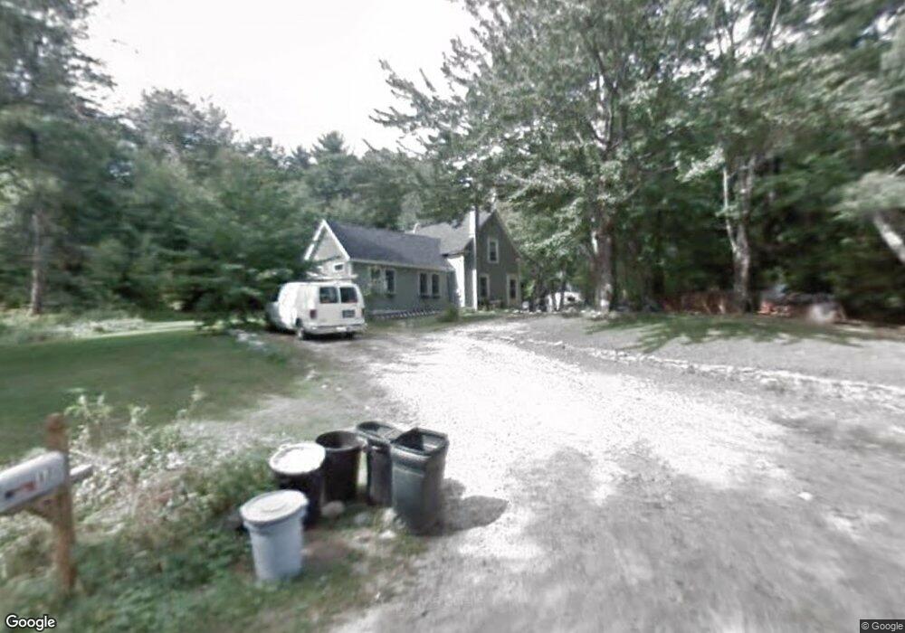
17 Fay Rd Lyndeborough, NH 03082
Greenfield NeighborhoodEstimated Value: $362,981 - $507,000
2
Beds
2
Baths
1,819
Sq Ft
$236/Sq Ft
Est. Value
About This Home
This home is located at 17 Fay Rd, Lyndeborough, NH 03082 and is currently estimated at $429,245, approximately $235 per square foot. 17 Fay Rd is a home with nearby schools including Lyndeborough Central School, Wilton-Lyndeborough Cooperative Middle School, and Wilton-Lyndeborough Cooperative High School.
Ownership History
Date
Name
Owned For
Owner Type
Purchase Details
Closed on
Sep 26, 1997
Sold by
Henry Philip H and Henry Jan H
Bought by
Longval Keith A and Longval Melissa A
Current Estimated Value
Home Financials for this Owner
Home Financials are based on the most recent Mortgage that was taken out on this home.
Original Mortgage
$84,660
Interest Rate
7.47%
Create a Home Valuation Report for This Property
The Home Valuation Report is an in-depth analysis detailing your home's value as well as a comparison with similar homes in the area
Home Values in the Area
Average Home Value in this Area
Purchase History
| Date | Buyer | Sale Price | Title Company |
|---|---|---|---|
| Longval Keith A | $83,000 | -- |
Source: Public Records
Mortgage History
| Date | Status | Borrower | Loan Amount |
|---|---|---|---|
| Open | Longval Keith A | $152,950 | |
| Closed | Longval Keith A | $158,000 | |
| Closed | Longval Keith A | $142,200 | |
| Closed | Longval Keith A | $84,660 |
Source: Public Records
Tax History Compared to Growth
Tax History
| Year | Tax Paid | Tax Assessment Tax Assessment Total Assessment is a certain percentage of the fair market value that is determined by local assessors to be the total taxable value of land and additions on the property. | Land | Improvement |
|---|---|---|---|---|
| 2024 | $4,800 | $185,600 | $66,500 | $119,100 |
| 2023 | $4,412 | $185,600 | $66,500 | $119,100 |
| 2022 | $4,102 | $185,600 | $66,500 | $119,100 |
| 2021 | $4,102 | $185,600 | $66,500 | $119,100 |
| 2020 | $3,961 | $185,600 | $66,500 | $119,100 |
| 2019 | $4,423 | $151,800 | $63,700 | $88,100 |
| 2018 | $5,187 | $151,300 | $63,700 | $87,600 |
| 2017 | $5,059 | $147,100 | $63,700 | $83,400 |
| 2016 | $4,081 | $147,100 | $63,700 | $83,400 |
| 2015 | $3,720 | $147,100 | $63,700 | $83,400 |
| 2013 | $3,442 | $143,400 | $63,700 | $79,700 |
Source: Public Records
Map
Nearby Homes
- 757 Forest Rd
- 16 Cameron's Way
- 75 New Boston Rd
- 9 Beacon Ln
- 94 Summit Dr
- 76 Gould Hill Rd
- 106 Zephyr Lake Rd
- 3 Ice House Ln
- 496 Mountain Rd
- 222 Forest Rd
- 57 Richardson Rd
- 42 East Rd
- 24 Glass Factory Rd
- 514 Old Greenfield Rd
- 11 Pony Farm Ln
- 19 Putnam Rd
- 372 Webster Hwy
- R5-20-1 266 Francestown Rd
- 181 Francestown Rd
- 185 General Miller Rd