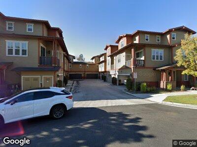
17 Flyers Ln Unit 17 Tustin, CA 92782
Estimated Value: $498,000 - $1,066,000
3
Beds
3
Baths
1,404
Sq Ft
$567/Sq Ft
Est. Value
About This Home
This home is located at 17 Flyers Ln Unit 17, Tustin, CA 92782 and is currently estimated at $796,580, approximately $567 per square foot. 17 Flyers Ln Unit 17 is a home located in Orange County with nearby schools including College Park Elementary School, Venado Middle School, and Irvine High School.
Ownership History
Date
Name
Owned For
Owner Type
Purchase Details
Closed on
Dec 13, 2021
Sold by
Vanhenry T
Bought by
Vanhenry T and The Henry T Van Living Trust
Current Estimated Value
Purchase Details
Closed on
Dec 8, 2005
Sold by
Wl Homes Llc
Bought by
Vanhenry T
Home Financials for this Owner
Home Financials are based on the most recent Mortgage that was taken out on this home.
Original Mortgage
$254,983
Interest Rate
6.16%
Mortgage Type
New Conventional
Create a Home Valuation Report for This Property
The Home Valuation Report is an in-depth analysis detailing your home's value as well as a comparison with similar homes in the area
Home Values in the Area
Average Home Value in this Area
Purchase History
| Date | Buyer | Sale Price | Title Company |
|---|---|---|---|
| Vanhenry T | -- | None Available | |
| Vanhenry T | $300,000 | First American Title Co |
Source: Public Records
Mortgage History
| Date | Status | Borrower | Loan Amount |
|---|---|---|---|
| Open | Vanhenry T | $240,000 | |
| Previous Owner | Vanhenry T | $254,983 |
Source: Public Records
Tax History Compared to Growth
Tax History
| Year | Tax Paid | Tax Assessment Tax Assessment Total Assessment is a certain percentage of the fair market value that is determined by local assessors to be the total taxable value of land and additions on the property. | Land | Improvement |
|---|---|---|---|---|
| 2024 | $5,748 | $373,258 | $160,774 | $212,484 |
| 2023 | $5,884 | $394,020 | $157,622 | $236,398 |
| 2022 | $6,088 | $386,295 | $154,532 | $231,763 |
| 2021 | $5,921 | $378,721 | $151,502 | $227,219 |
| 2020 | $5,869 | $374,838 | $149,948 | $224,890 |
| 2019 | $5,740 | $367,489 | $147,008 | $220,481 |
| 2018 | $5,632 | $360,284 | $144,126 | $216,158 |
| 2017 | $5,506 | $353,220 | $141,300 | $211,920 |
| 2016 | $5,311 | $346,295 | $138,530 | $207,765 |
| 2015 | $5,186 | $341,094 | $136,449 | $204,645 |
| 2014 | $5,082 | $334,413 | $133,776 | $200,637 |
Source: Public Records
Map
Nearby Homes
- 264 Blue Sky Dr Unit 264
- 154 Saint James Unit 53
- 369 Deerfield Ave Unit 35
- 401 Deerfield Ave Unit 84
- 3621 Myrtle St
- 15561 Jasmine Place
- 220 Barnes Rd
- 14551 Linden Ave
- 2 Altezza
- 159 Waypoint
- 421 Transport
- 430 Transport
- 52 Honey Locust
- 18 Goldenbush
- 3702 Carmel Ave
- 20 Nevada
- 59 Juneberry Unit 20
- 31 Snowdrop Tree
- 29 Water Lily
- 15221 Kensington Park Dr
- 17 Flyers Ln Unit 17
- 18 Flyers Ln Unit 18
- 16 Flyers Ln
- 24 Look Out Ln Unit 24
- 25 Look Out Ln Unit 25
- 19 Flyers Ln Unit 19
- 23 Look Out Ln Unit 23
- 22 Look Out Ln Unit 22
- 20 Flyers Ln
- 21 Look Out Ln
- 14 Flyers Ln
- 13 Flyers Ln Unit 13
- 15 Flyers Ln
- 12 Flyers Ln Unit 12
- 11 Flyers Ln
- 26 Look Out Ln
- 8 Flyers Ln Unit 8
- 35 Look Out Ln
- 6 Flyers Ln Unit 6
- 27 Look Out Ln