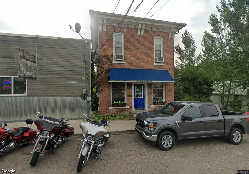
17 Front St Commercial Point, OH 43116
Estimated Value: $194,925
3
Beds
1
Bath
1,680
Sq Ft
$116/Sq Ft
Est. Value
About This Home
This home is located at 17 Front St, Commercial Point, OH 43116 and is currently estimated at $194,925, approximately $116 per square foot. 17 Front St is a home located in Pickaway County.
Ownership History
Date
Name
Owned For
Owner Type
Purchase Details
Closed on
Apr 5, 2013
Sold by
Johnson Edward G and Johnson Noreen W
Bought by
Johnson Edward G and Johnson Noreen W
Current Estimated Value
Purchase Details
Closed on
Oct 16, 2001
Sold by
Bowersock Kimberly A
Bought by
Johnson Edward G
Purchase Details
Closed on
Oct 15, 1996
Sold by
Gulick Guy J
Bought by
Bowersock Jeffrey S
Home Financials for this Owner
Home Financials are based on the most recent Mortgage that was taken out on this home.
Original Mortgage
$10,000
Interest Rate
8.14%
Mortgage Type
New Conventional
Purchase Details
Closed on
Jun 30, 1992
Sold by
Martin John W
Bought by
Gulick Guy S
Purchase Details
Closed on
May 31, 1992
Create a Home Valuation Report for This Property
The Home Valuation Report is an in-depth analysis detailing your home's value as well as a comparison with similar homes in the area
Home Values in the Area
Average Home Value in this Area
Purchase History
| Date | Buyer | Sale Price | Title Company |
|---|---|---|---|
| Johnson Edward G | -- | Attorney | |
| Johnson Edward G | $78,000 | -- | |
| Bowersock Jeffrey S | $80,000 | -- | |
| Gulick Guy S | $30,000 | -- | |
| -- | $30,000 | -- |
Source: Public Records
Mortgage History
| Date | Status | Borrower | Loan Amount |
|---|---|---|---|
| Previous Owner | Bowersock Jeffrey S | $10,000 |
Source: Public Records
Tax History Compared to Growth
Tax History
| Year | Tax Paid | Tax Assessment Tax Assessment Total Assessment is a certain percentage of the fair market value that is determined by local assessors to be the total taxable value of land and additions on the property. | Land | Improvement |
|---|---|---|---|---|
| 2024 | -- | $68,480 | $2,080 | $66,400 |
| 2023 | $3,149 | $68,480 | $2,080 | $66,400 |
| 2022 | $2,427 | $49,310 | $1,770 | $47,540 |
| 2021 | $2,390 | $49,310 | $1,770 | $47,540 |
| 2020 | $2,490 | $49,310 | $1,770 | $47,540 |
| 2019 | $2,191 | $45,280 | $1,770 | $43,510 |
| 2018 | $2,159 | $45,280 | $1,770 | $43,510 |
| 2017 | $2,379 | $45,280 | $1,770 | $43,510 |
| 2016 | $2,100 | $42,600 | $1,750 | $40,850 |
| 2015 | $2,091 | $42,600 | $1,750 | $40,850 |
| 2014 | $2,087 | $42,600 | $1,750 | $40,850 |
| 2013 | $2,226 | $44,840 | $1,750 | $43,090 |
Source: Public Records
Map
Nearby Homes
- 49 Front St
- 317 Adrien Ct
- 201 Victorian Dr
- 229 Victorian Dr
- 502 Conley Dr
- 486 Creekside Dr
- 500 Walker Pointe Dr
- 513 Heidish Dr
- 403 Alberta Dr
- 56 Chambers Bay Rd
- 294 Shady Hollow Dr
- 47 Front St
- 211 Cavanaugh Dr
- 55 Genoa Cir
- 45 Genoa Cir
- 62 Genoa Cir
- 66 Genoa Cir
- 310 Genoa Rd
- 10901 Borror Rd Unit 19
- The Siebert Plan at Genoa Crossing