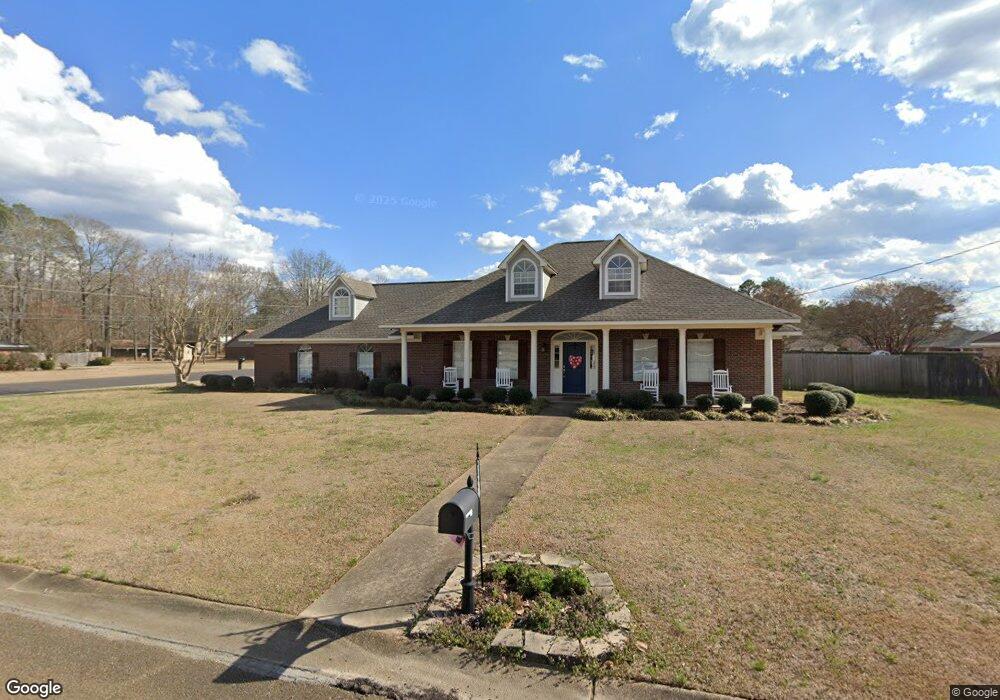
17 Jones Dr Columbus, MS 39702
Estimated Value: $357,000 - $386,000
3
Beds
3
Baths
3,145
Sq Ft
$118/Sq Ft
Est. Value
About This Home
This home is located at 17 Jones Dr, Columbus, MS 39702 and is currently estimated at $370,552, approximately $117 per square foot. 17 Jones Dr is a home.
Ownership History
Date
Name
Owned For
Owner Type
Purchase Details
Closed on
Sep 19, 2025
Sold by
Lewis Jimmy Alan and Lewis Erica Hamilton
Bought by
Lowery Johnny Earl and Lowery Nikketa
Current Estimated Value
Home Financials for this Owner
Home Financials are based on the most recent Mortgage that was taken out on this home.
Original Mortgage
$310,000
Outstanding Balance
$309,724
Interest Rate
6.58%
Mortgage Type
VA
Estimated Equity
$60,828
Purchase Details
Closed on
Jun 23, 2017
Sold by
Gillon Thomas
Bought by
Lewis Jimmy Alan and Lewis Erica Hamilton
Home Financials for this Owner
Home Financials are based on the most recent Mortgage that was taken out on this home.
Original Mortgage
$215,000
Interest Rate
3.95%
Mortgage Type
New Conventional
Purchase Details
Closed on
Sep 7, 2016
Sold by
Jpmorgan Chase Bank
Bought by
Gillon Thomas
Purchase Details
Closed on
Jun 10, 2016
Sold by
Gwathney John R and Gwathney Nicole A
Bought by
Jpmorgan Chase Bank
Purchase Details
Closed on
Dec 22, 2004
Sold by
Jaynes Mark and Jaynes Cynthia S
Bought by
Gwathney John F and Gwathney Nichole A
Home Financials for this Owner
Home Financials are based on the most recent Mortgage that was taken out on this home.
Original Mortgage
$195,500
Interest Rate
5.72%
Create a Home Valuation Report for This Property
The Home Valuation Report is an in-depth analysis detailing your home's value as well as a comparison with similar homes in the area
Home Values in the Area
Average Home Value in this Area
Purchase History
| Date | Buyer | Sale Price | Title Company |
|---|---|---|---|
| Lowery Johnny Earl | -- | None Listed On Document | |
| Lewis Jimmy Alan | -- | None Available | |
| Gillon Thomas | $168,000 | None Available | |
| Jpmorgan Chase Bank | -- | None Available | |
| Gwathney John F | -- | -- |
Source: Public Records
Mortgage History
| Date | Status | Borrower | Loan Amount |
|---|---|---|---|
| Open | Lowery Johnny Earl | $310,000 | |
| Previous Owner | Lewis Jimmy Alan | $215,000 | |
| Previous Owner | Gwathney John F | $195,500 |
Source: Public Records
Tax History
| Year | Tax Paid | Tax Assessment Tax Assessment Total Assessment is a certain percentage of the fair market value that is determined by local assessors to be the total taxable value of land and additions on the property. | Land | Improvement |
|---|---|---|---|---|
| 2025 | $1,701 | $20,457 | $0 | $0 |
| 2024 | $1,685 | $20,457 | $0 | $0 |
| 2023 | $1,441 | $18,015 | $0 | $0 |
| 2022 | $1,442 | $18,015 | $0 | $0 |
| 2021 | $1,378 | $18,015 | $0 | $0 |
| 2020 | $1,286 | $18,015 | $0 | $0 |
| 2019 | $1,339 | $17,980 | $0 | $0 |
| 2018 | $1,339 | $18,071 | $0 | $0 |
| 2017 | $1,567 | $27,107 | $0 | $0 |
| 2016 | $1,567 | $18,071 | $0 | $0 |
| 2015 | $1,313 | $18,600 | $0 | $0 |
| 2014 | $1,313 | $18,600 | $0 | $0 |
Source: Public Records
Map
Nearby Homes
- 17 Paige Cove
- 178 Rogers Way
- 164 Sleepy Fawn Park
- 836 Oswalt Rd
- 2654 Yorkville Rd E
- 220 Woodridge Place
- 346 Williams Place
- 16 Jenny Ln
- 262 Center Rd
- 248 Lakeover Dr W
- Lot 3 Lost Lake Hills Rd
- 0 Lost Lake Hills Rd
- 274 Hughes Rd
- 9 Monticello Cir
- 0 Fiesta Dr
- 76 Richardson Rd
- 91 Wilson Dr
- 59 Savannah St
- 479 Bryant Rd
- 304 Timber Creek Dr
Your Personal Tour Guide
Ask me questions while you tour the home.