17 Linden Ln Lempster, NH 03605
Estimated Value: $467,000 - $742,000
2
Beds
2
Baths
3,020
Sq Ft
$200/Sq Ft
Est. Value
About This Home
This home is located at 17 Linden Ln, Lempster, NH 03605 and is currently estimated at $603,845, approximately $199 per square foot. 17 Linden Ln is a home.
Ownership History
Date
Name
Owned For
Owner Type
Purchase Details
Closed on
May 12, 2003
Sold by
Bard Frederic W and Bard Alice A
Bought by
Mccart Norman F and Mccart Theresa M
Current Estimated Value
Home Financials for this Owner
Home Financials are based on the most recent Mortgage that was taken out on this home.
Original Mortgage
$279,000
Outstanding Balance
$122,494
Interest Rate
5.93%
Estimated Equity
$481,351
Create a Home Valuation Report for This Property
The Home Valuation Report is an in-depth analysis detailing your home's value as well as a comparison with similar homes in the area
Home Values in the Area
Average Home Value in this Area
Purchase History
| Date | Buyer | Sale Price | Title Company |
|---|---|---|---|
| Mccart Norman F | $310,000 | -- |
Source: Public Records
Mortgage History
| Date | Status | Borrower | Loan Amount |
|---|---|---|---|
| Open | Mccart Norman F | $279,000 |
Source: Public Records
Tax History Compared to Growth
Tax History
| Year | Tax Paid | Tax Assessment Tax Assessment Total Assessment is a certain percentage of the fair market value that is determined by local assessors to be the total taxable value of land and additions on the property. | Land | Improvement |
|---|---|---|---|---|
| 2024 | $8,981 | $311,193 | $24,693 | $286,500 |
| 2023 | $8,443 | $311,424 | $24,924 | $286,500 |
| 2022 | $7,376 | $311,899 | $25,399 | $286,500 |
| 2021 | $7,170 | $301,770 | $25,970 | $275,800 |
| 2020 | $7,405 | $298,121 | $25,821 | $272,300 |
| 2019 | $7,148 | $261,724 | $24,224 | $237,500 |
| 2018 | $7,661 | $261,922 | $24,422 | $237,500 |
| 2017 | $6,616 | $261,808 | $24,308 | $237,500 |
| 2016 | $6,454 | $261,705 | $24,205 | $237,500 |
| 2015 | $6,081 | $261,328 | $23,828 | $237,500 |
| 2014 | $6,228 | $311,693 | $34,293 | $277,400 |
| 2013 | $6,352 | $311,523 | $41,223 | $270,300 |
Source: Public Records
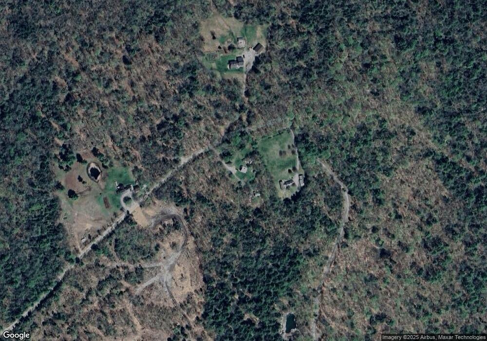
Map
Nearby Homes
- 264 Olds Rd
- 0 Olds Rd
- 0 Allen Rd
- 1076 Nh Route 123a
- 17 S Hill Dr
- 94 Cold Pond Rd
- 8 Hillside Dr
- 315 Gove Rd
- 144 Keyes Hollow Rd
- 6 Benway Hill Rd
- 67 Lang Rd
- 219 Crescent Lake Rd
- 0 Washington Pond Rd Unit 113
- 335 Coolidge Dr
- 286 Presidential Dr
- 178 North Rd
- 0 Adams Dr
- 172 Nh-Rte 123 Route
- 0 Lempster Mountain Rd Unit 2
- 6 Mill St
- 10 Tucker Rd
- 25 Linden Ln S
- 189 Tucker Rd
- 24 Tucker Rd
- 105 Tucker Rd
- 121 Tucker Rd
- 265 Dodge Hollow Rd
- 272 Dodge Hollow Rd
- 112 Tucker Rd
- 250 Dodge Hollow Rd
- 0 Tucker Rd Unit 4006785
- 291 Dodge Hollow Rd
- 300 Dodge Hollow Rd
- 224 Dodge Hollow Rd
- 118 River Rd
- 175 Dodge Hollow Rd
- 0 Dodge Hollow
- 305 Dodge Hollow Rd
- 66 Tucker Rd
- 26 Tucker Rd