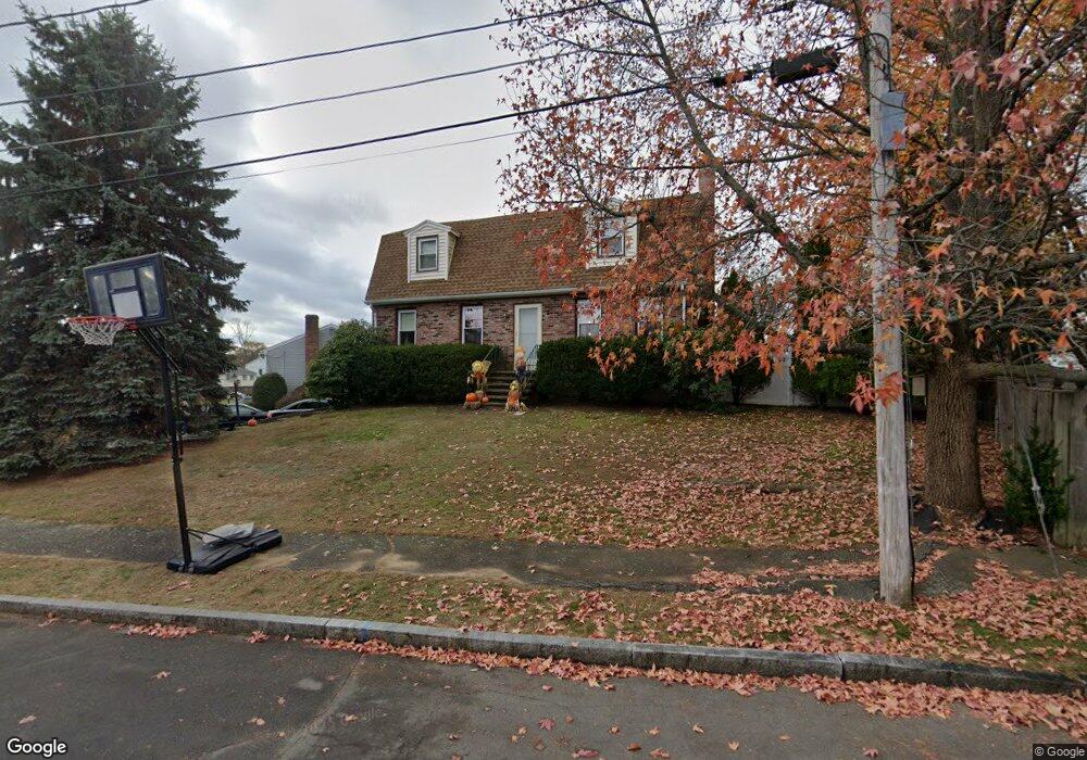
17 Mansfield Dr Wakefield, MA 01880
Lakeside NeighborhoodEstimated Value: $828,000 - $1,088,000
3
Beds
2
Baths
1,668
Sq Ft
$574/Sq Ft
Est. Value
About This Home
This home is located at 17 Mansfield Dr, Wakefield, MA 01880 and is currently estimated at $956,780, approximately $573 per square foot. 17 Mansfield Dr is a home located in Middlesex County with nearby schools including Wakefield Memorial High School, Odyssey Day School, and St Joseph School.
Ownership History
Date
Name
Owned For
Owner Type
Purchase Details
Closed on
Jan 3, 2005
Sold by
Bua Christopher P
Bought by
Bua Deborah J
Current Estimated Value
Home Financials for this Owner
Home Financials are based on the most recent Mortgage that was taken out on this home.
Original Mortgage
$295,000
Interest Rate
5.73%
Mortgage Type
Purchase Money Mortgage
Purchase Details
Closed on
Jul 20, 2000
Sold by
Truong Henry L and Truong Donna Y
Bought by
Bua Christopher P and Bua Deborah
Create a Home Valuation Report for This Property
The Home Valuation Report is an in-depth analysis detailing your home's value as well as a comparison with similar homes in the area
Home Values in the Area
Average Home Value in this Area
Purchase History
| Date | Buyer | Sale Price | Title Company |
|---|---|---|---|
| Bua Deborah J | -- | -- | |
| Bua Christopher P | $347,000 | -- |
Source: Public Records
Mortgage History
| Date | Status | Borrower | Loan Amount |
|---|---|---|---|
| Open | Bua Christopher P | $301,800 | |
| Closed | Bua Deborah J | $295,000 | |
| Previous Owner | Bua Christopher P | $258,000 |
Source: Public Records
Tax History Compared to Growth
Tax History
| Year | Tax Paid | Tax Assessment Tax Assessment Total Assessment is a certain percentage of the fair market value that is determined by local assessors to be the total taxable value of land and additions on the property. | Land | Improvement |
|---|---|---|---|---|
| 2025 | $9,676 | $852,500 | $434,300 | $418,200 |
| 2024 | $8,922 | $793,100 | $404,000 | $389,100 |
| 2023 | $8,685 | $740,400 | $377,100 | $363,300 |
| 2022 | $7,940 | $644,500 | $336,700 | $307,800 |
| 2021 | $7,672 | $602,700 | $308,100 | $294,600 |
| 2020 | $7,215 | $565,000 | $288,800 | $276,200 |
| 2019 | $6,765 | $527,300 | $269,600 | $257,700 |
| 2018 | $6,523 | $503,700 | $257,500 | $246,200 |
| 2017 | $6,135 | $470,800 | $240,700 | $230,100 |
| 2016 | $6,317 | $468,300 | $237,700 | $230,600 |
| 2015 | $5,884 | $436,500 | $222,100 | $214,400 |
| 2014 | $5,443 | $425,900 | $216,700 | $209,200 |
Source: Public Records
Map
Nearby Homes
- 21 Mansfield Dr
- 22 Mansfield Dr
- 26 Mansfield Dr
- 18 Mansfield Dr
- 24 Mansfield Dr
- 13 Mansfield Dr
- 25 Mansfield Dr
- 8 Sesame St
- 14 Mansfield Dr
- 20 Mansfield Dr
- 28 Mansfield Dr
- 6 Sesame St
- 19 Fosters Ln
- 23 Fosters Ln
- 9 Mansfield Dr
- 30 Mansfield Dr
- 10 Mansfield Dr
- 27 Fosters Ln
- 17 Fosters Ln
- 31 Fosters Ln