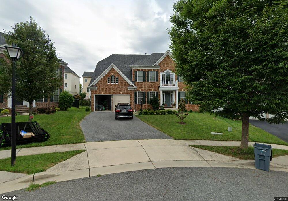
17 Moonlight Trail Ct Unit B Silver Spring, MD 20906
Layhill South NeighborhoodEstimated Value: $978,218 - $1,053,000
2
Beds
1
Bath
5,362
Sq Ft
$189/Sq Ft
Est. Value
About This Home
This home is located at 17 Moonlight Trail Ct Unit B, Silver Spring, MD 20906 and is currently estimated at $1,014,055, approximately $189 per square foot. 17 Moonlight Trail Ct Unit B is a home located in Montgomery County with nearby schools including Glenallan Elementary School, Odessa Shannon Middle School, and John F. Kennedy High School.
Ownership History
Date
Name
Owned For
Owner Type
Purchase Details
Closed on
Nov 27, 2019
Sold by
Vansandt John A and Vansandt Regan
Bought by
Nirai Mulu and Hailemariam Makida
Current Estimated Value
Home Financials for this Owner
Home Financials are based on the most recent Mortgage that was taken out on this home.
Original Mortgage
$300,000
Outstanding Balance
$265,266
Interest Rate
3.75%
Mortgage Type
New Conventional
Estimated Equity
$748,789
Purchase Details
Closed on
Aug 22, 2011
Sold by
Winchester Homes Inc
Bought by
Vansandt John A and Vansandt Regan
Home Financials for this Owner
Home Financials are based on the most recent Mortgage that was taken out on this home.
Original Mortgage
$592,300
Interest Rate
4.52%
Mortgage Type
VA
Create a Home Valuation Report for This Property
The Home Valuation Report is an in-depth analysis detailing your home's value as well as a comparison with similar homes in the area
Home Values in the Area
Average Home Value in this Area
Purchase History
| Date | Buyer | Sale Price | Title Company |
|---|---|---|---|
| Nirai Mulu | $680,000 | Counselors Title Llc | |
| Vansandt John A | $700,600 | Commonwealth Land Title Ins |
Source: Public Records
Mortgage History
| Date | Status | Borrower | Loan Amount |
|---|---|---|---|
| Open | Nirai Mulu | $300,000 | |
| Previous Owner | Vansandt John A | $592,300 |
Source: Public Records
Tax History
| Year | Tax Paid | Tax Assessment Tax Assessment Total Assessment is a certain percentage of the fair market value that is determined by local assessors to be the total taxable value of land and additions on the property. | Land | Improvement |
|---|---|---|---|---|
| 2025 | $9,750 | $828,500 | $269,500 | $559,000 |
| 2024 | $9,750 | $797,333 | -- | -- |
| 2023 | $8,679 | $766,167 | $0 | $0 |
| 2022 | $7,945 | $735,000 | $269,500 | $465,500 |
| 2021 | $7,782 | $725,533 | $0 | $0 |
| 2020 | $7,655 | $716,067 | $0 | $0 |
| 2019 | $7,525 | $706,600 | $269,500 | $437,100 |
| 2018 | $7,266 | $683,033 | $0 | $0 |
| 2017 | $7,020 | $659,467 | $0 | $0 |
| 2016 | -- | $635,900 | $0 | $0 |
| 2015 | $2,987 | $635,900 | $0 | $0 |
| 2014 | $2,987 | $635,900 | $0 | $0 |
Source: Public Records
Map
Nearby Homes
- 1105 Sweetbay Place
- 1105 Verbena Ct
- 13525 Winding Trail Ct
- 13424 Coachlamp Ln
- 13135 Hutchinson Way
- 13744 Lockdale Rd
- 1502 Casino Cir
- 604 Hawkesbury Terrace
- 2013 Sullivan Ln
- 513 Beaumont Rd
- 13621 N Gate Dr
- 1521 Billman Ln
- 12805 Brandon Green Ct
- 712 Brandon Green Dr
- 14216 Alderton Rd
- 1600 Billman Ln
- 421 Beaumont Rd
- 18 Catoctin Ct
- 32 Long Green Ct
- 12633 English Orchard Ct
- 17 Moonlight Trail Ct
- 13 Moonlight Trail Ct
- 21 Moonlight Trail Ct
- 13221 Moonlight Trail Dr
- 13217 Moonlight Trail Dr
- 13213 Moonlight Trail Dr
- 13225 Moonlight Trail Dr
- 13225 Moonlight Trail Dr
- 9 Moonlight Trail Ct
- 9 Moonlight Trail Ct
- 13229 Moonlight Trail Dr
- 13209 Moonlight Trail Dr
- 13344 Moonlight Trail Dr
- 20 Moonlight Trail Ct
- 12 Moonlight Trail Ct
- 5 Moonlight Trail Ct
- 16 Moonlight Trail Ct
- 13233 Moonlight Trail Dr
- 13216 Moonlight Trail Dr
- 13212 Moonlight Trail Dr
Your Personal Tour Guide
Ask me questions while you tour the home.