17 Moorings Way West Brookfield, MA 01585
Estimated Value: $728,000 - $742,000
2
Beds
2
Baths
1,630
Sq Ft
$451/Sq Ft
Est. Value
About This Home
This home is located at 17 Moorings Way, West Brookfield, MA 01585 and is currently estimated at $735,907, approximately $451 per square foot. 17 Moorings Way is a home with nearby schools including Quaboag Regional High School.
Ownership History
Date
Name
Owned For
Owner Type
Purchase Details
Closed on
Feb 17, 2023
Sold by
Caron Roger E
Bought by
Roger E Caron Ret
Current Estimated Value
Purchase Details
Closed on
Jun 12, 1998
Sold by
Reynis Walter J and Reynis Pauline L
Bought by
Caron Roger E and Caron Patricia W
Home Financials for this Owner
Home Financials are based on the most recent Mortgage that was taken out on this home.
Original Mortgage
$125,000
Interest Rate
7.11%
Mortgage Type
Purchase Money Mortgage
Create a Home Valuation Report for This Property
The Home Valuation Report is an in-depth analysis detailing your home's value as well as a comparison with similar homes in the area
Home Values in the Area
Average Home Value in this Area
Purchase History
| Date | Buyer | Sale Price | Title Company |
|---|---|---|---|
| Roger E Caron Ret | -- | None Available | |
| Caron Roger E | $170,000 | -- |
Source: Public Records
Mortgage History
| Date | Status | Borrower | Loan Amount |
|---|---|---|---|
| Previous Owner | Caron Roger E | $136,500 | |
| Previous Owner | Caron Roger E | $125,000 |
Source: Public Records
Tax History Compared to Growth
Tax History
| Year | Tax Paid | Tax Assessment Tax Assessment Total Assessment is a certain percentage of the fair market value that is determined by local assessors to be the total taxable value of land and additions on the property. | Land | Improvement |
|---|---|---|---|---|
| 2025 | $5,381 | $499,200 | $242,500 | $256,700 |
| 2024 | $5,606 | $499,200 | $242,500 | $256,700 |
| 2023 | $5,495 | $458,300 | $220,600 | $237,700 |
| 2022 | $4,822 | $364,500 | $163,400 | $201,100 |
| 2021 | $4,826 | $344,000 | $163,400 | $180,600 |
| 2020 | $4,375 | $297,600 | $163,400 | $134,200 |
| 2019 | $4,663 | $297,600 | $163,400 | $134,200 |
| 2018 | $4,689 | $291,800 | $163,400 | $128,400 |
| 2017 | $4,556 | $283,700 | $136,300 | $147,400 |
| 2016 | $4,400 | $283,700 | $136,300 | $147,400 |
| 2015 | $4,250 | $283,700 | $136,300 | $147,400 |
Source: Public Records
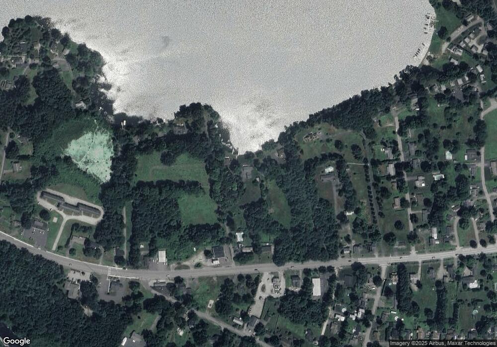
Map
Nearby Homes
- 91 W Main St
- 71 W Main St
- 234 Wickaboag
- 37 Central St
- 4 E Main St
- 25 Lake Shore Dr
- 91 Lake Shore Dr
- 28 N Main St
- 7 Church Street Extension
- 16 Hadley Path
- 12 Hadley Path
- 67 E Main St
- 22 Beach Dr
- 9 Birch Hill Rd
- 25 Highland Trail
- 19 Pine Trail
- 920 Old West Brookfield Rd
- 940 Old West Brookfield Rd
- 3 Old Ware Rd
- 9 John Gilbert Rd
- 98 W Main St
- 106 W Main St
- 25 Moorings Way
- 26 Ware St
- 26 Ware St
- 97 W Main St
- 29 Moorings Way
- 114 W Main St
- 113 W Main St
- 91 W Main St Unit A
- 91 W Main St Unit R1
- 91 W Main St Unit L1
- 91 W Main St Unit 2
- 91 W Main St Unit 1
- 15 Ware St
- 15 Ware St
- 34 Ware St
- 23 Ware St Unit A
- 23 Ware St
- 23 Ware St Unit B