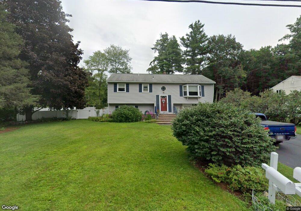
17 Mulberry Rd Salem, NH 03079
Millville NeighborhoodEstimated Value: $543,421 - $615,000
3
Beds
2
Baths
1,216
Sq Ft
$472/Sq Ft
Est. Value
About This Home
This home is located at 17 Mulberry Rd, Salem, NH 03079 and is currently estimated at $573,355, approximately $471 per square foot. 17 Mulberry Rd is a home located in Rockingham County with nearby schools including William T. Barron Elementary School, Woodbury School, and Salem High School.
Ownership History
Date
Name
Owned For
Owner Type
Purchase Details
Closed on
Feb 12, 2021
Sold by
Helinski Marie A and Henlinski Anthony B
Bought by
Helinski Ft
Current Estimated Value
Purchase Details
Closed on
Jan 14, 1983
Bought by
Helinski Anthony B and Helinski Marie
Create a Home Valuation Report for This Property
The Home Valuation Report is an in-depth analysis detailing your home's value as well as a comparison with similar homes in the area
Home Values in the Area
Average Home Value in this Area
Purchase History
| Date | Buyer | Sale Price | Title Company |
|---|---|---|---|
| Helinski Ft | -- | None Available | |
| Helinski Anthony B | -- | -- |
Source: Public Records
Mortgage History
| Date | Status | Borrower | Loan Amount |
|---|---|---|---|
| Previous Owner | Helinski Anthony B | $10,000 | |
| Previous Owner | Helinski Anthony B | $82,000 | |
| Previous Owner | Helinski Anthony B | $66,000 | |
| Previous Owner | Helinski Anthony B | $50,000 |
Source: Public Records
Tax History Compared to Growth
Tax History
| Year | Tax Paid | Tax Assessment Tax Assessment Total Assessment is a certain percentage of the fair market value that is determined by local assessors to be the total taxable value of land and additions on the property. | Land | Improvement |
|---|---|---|---|---|
| 2024 | $6,676 | $379,300 | $160,300 | $219,000 |
| 2023 | $6,433 | $379,300 | $160,300 | $219,000 |
| 2022 | $6,088 | $379,300 | $160,300 | $219,000 |
| 2021 | $6,061 | $379,300 | $160,300 | $219,000 |
| 2020 | $5,465 | $248,200 | $114,500 | $133,700 |
| 2019 | $5,455 | $248,200 | $114,500 | $133,700 |
| 2018 | $898 | $248,200 | $114,500 | $133,700 |
| 2017 | $5,071 | $248,200 | $114,500 | $133,700 |
| 2016 | $5,071 | $248,200 | $114,500 | $133,700 |
| 2015 | $4,907 | $229,400 | $117,700 | $111,700 |
| 2014 | $4,769 | $229,400 | $117,700 | $111,700 |
| 2013 | $4,694 | $229,400 | $117,700 | $111,700 |
Source: Public Records
Map
Nearby Homes
- 4 Mulberry Rd
- 15 Linwood Ave
- 59 Cluff Rd Unit 50
- 59 Cluff Rd Unit 7
- 59 Cluff Rd Unit 41
- 8 Senter St
- 30 Hagop Rd
- 12 Braemoor Woods Rd Unit 206
- 11 Tiffany Rd Unit 1
- 10 Evelyn Rd
- 35 Fraser Dr
- 17 Meredith Rd
- 6 Lancelot Ct Unit 2
- 117 Cluff Crossing Rd Unit 7
- 2 Renaissance Cir
- 48 Pond St
- 11 Maclarnon Rd
- 12 Stillwater Cir
- 10 Sally Sweets Way Unit V104
- 55 Crestwood Cir