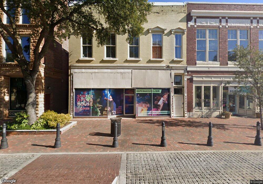
17 N Main St Sumter, SC 29150
Magnolia-Harmony NeighborhoodEstimated Value: $154,636
Studio
--
Bath
10,965
Sq Ft
$14/Sq Ft
Est. Value
About This Home
This home is located at 17 N Main St, Sumter, SC 29150 and is currently estimated at $154,636, approximately $14 per square foot. 17 N Main St is a home located in Sumter County with nearby schools including Willow Drive Elementary School, Chestnut Oaks Middle School, and Sumter High School.
Ownership History
Date
Name
Owned For
Owner Type
Purchase Details
Closed on
Mar 9, 2012
Sold by
City Of Sumter
Bought by
Gdt Llc
Current Estimated Value
Home Financials for this Owner
Home Financials are based on the most recent Mortgage that was taken out on this home.
Original Mortgage
$51,000
Outstanding Balance
$34,813
Interest Rate
3.89%
Mortgage Type
Commercial
Estimated Equity
$119,823
Purchase Details
Closed on
May 25, 2010
Sold by
Hill Juliette C
Bought by
City Of Sumter
Purchase Details
Closed on
May 17, 2006
Sold by
Hill Larry A and Db Profile Enterprise
Bought by
Hill Juliette C
Create a Home Valuation Report for This Property
The Home Valuation Report is an in-depth analysis detailing your home's value as well as a comparison with similar homes in the area
Home Values in the Area
Average Home Value in this Area
Purchase History
| Date | Buyer | Sale Price | Title Company |
|---|---|---|---|
| Gdt Llc | $65,000 | -- | |
| City Of Sumter | $65,000 | -- | |
| Hill Juliette C | $15,141 | None Available |
Source: Public Records
Mortgage History
| Date | Status | Borrower | Loan Amount |
|---|---|---|---|
| Open | Gdt Llc | $51,000 |
Source: Public Records
Tax History
| Year | Tax Paid | Tax Assessment Tax Assessment Total Assessment is a certain percentage of the fair market value that is determined by local assessors to be the total taxable value of land and additions on the property. | Land | Improvement |
|---|---|---|---|---|
| 2025 | $1,432 | $3,850 | $1,380 | $2,470 |
| 2024 | $1,432 | $3,850 | $1,380 | $2,470 |
| 2023 | $1,432 | $3,850 | $1,380 | $2,470 |
| 2022 | $1,421 | $3,850 | $1,380 | $2,470 |
| 2021 | $1,557 | $3,850 | $1,380 | $2,470 |
| 2020 | $1,557 | $4,110 | $1,540 | $2,570 |
| 2019 | $1,550 | $4,110 | $1,540 | $2,570 |
| 2018 | $1,559 | $4,110 | $1,540 | $2,570 |
| 2017 | $1,570 | $4,110 | $1,540 | $2,570 |
| 2016 | $1,551 | $4,110 | $1,540 | $2,570 |
| 2015 | $1,421 | $3,830 | $1,540 | $2,290 |
| 2014 | $1,421 | $3,830 | $1,540 | $2,290 |
| 2013 | -- | $3,830 | $1,540 | $2,290 |
Source: Public Records
Map
Nearby Homes
- 2355 Daylilly St Unit Lot 142
- 2365 Daylilly St Unit Lot 141
- 120 E Liberty St
- 109 Dugan St
- 125 Church St
- 25 Baker St
- 34 Baker St
- 3 Warren Ct
- 321 W Hampton Ave
- 30 Church Ct
- 15 Warren Ct
- 343 W Liberty St
- 407 W Bartlette St
- 404 W Hampton Ave
- 36 W Charlotte Ave
- 312 Council St
- 32 S Blanding St
- 761(767) N Main St
- 315 N Salem Ave
- 519 N Main St
- 2128 Hwy15 North Main
- 5 N Main St
- 12 N Main St
- 5 E Liberty St
- 2462 Whites Rd
- 2340 Bellflower St
- 2670 Egypt St Lot 60
- 2630
- 2750 Fearless Lane Lot 65
- 2327 Bellflower St (Lot 7)
- 2655 Egypt St Lot 50
- 2340 Bellflower St (Lot 66)
- 2342 Bellflower St (Lot 65)
- 2345 Sibley St (Lot 118)
- 2355 Sibley St (Lot 117)
- 2365 Sibley St (Lot 116)
- 2688 Dr
- 0 Hackberry Apartments Unit 2852571-4801162
- 0 Hackberry Apartments Unit 2852571-5999518
- 0 Hackberry Apartments Unit 2852571-5458027
Your Personal Tour Guide
Ask me questions while you tour the home.