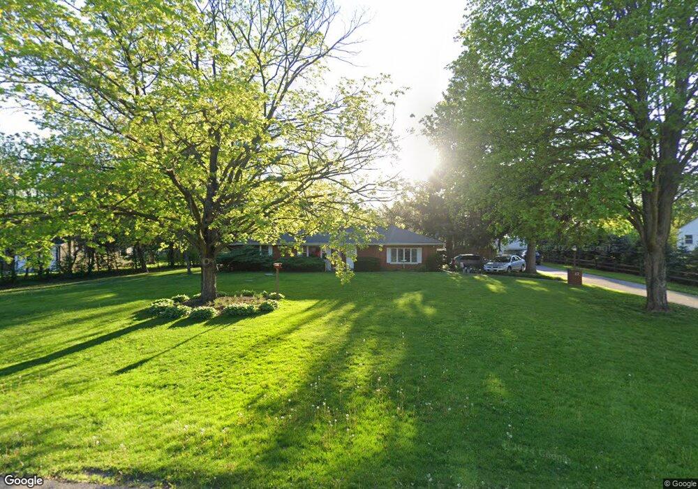
17 N West Dr Oswego, IL 60543
Northwest Oswego NeighborhoodEstimated Value: $333,000 - $368,302
3
Beds
2
Baths
1,575
Sq Ft
$221/Sq Ft
Est. Value
About This Home
This home is located at 17 N West Dr, Oswego, IL 60543 and is currently estimated at $348,576, approximately $221 per square foot. 17 N West Dr is a home located in Kendall County with nearby schools including Fox Chase Elementary School, Traughber Junior High School, and Oswego High School.
Ownership History
Date
Name
Owned For
Owner Type
Purchase Details
Closed on
May 5, 2001
Sold by
Pryor Ralph and Pryor Lovania
Bought by
Fowler Jeffrey L and Fowler Barbara A
Current Estimated Value
Home Financials for this Owner
Home Financials are based on the most recent Mortgage that was taken out on this home.
Original Mortgage
$138,800
Outstanding Balance
$52,403
Interest Rate
7.18%
Estimated Equity
$296,173
Create a Home Valuation Report for This Property
The Home Valuation Report is an in-depth analysis detailing your home's value as well as a comparison with similar homes in the area
Home Values in the Area
Average Home Value in this Area
Purchase History
| Date | Buyer | Sale Price | Title Company |
|---|---|---|---|
| Fowler Jeffrey L | $173,500 | First American Title Ins |
Source: Public Records
Mortgage History
| Date | Status | Borrower | Loan Amount |
|---|---|---|---|
| Open | Fowler Jeffrey L | $138,800 |
Source: Public Records
Tax History Compared to Growth
Tax History
| Year | Tax Paid | Tax Assessment Tax Assessment Total Assessment is a certain percentage of the fair market value that is determined by local assessors to be the total taxable value of land and additions on the property. | Land | Improvement |
|---|---|---|---|---|
| 2024 | $7,214 | $97,133 | $24,394 | $72,739 |
| 2023 | $6,823 | $84,463 | $21,212 | $63,251 |
| 2022 | $6,823 | $82,807 | $20,796 | $62,011 |
| 2021 | $6,378 | $75,279 | $18,905 | $56,374 |
| 2020 | $6,045 | $71,018 | $17,835 | $53,183 |
| 2019 | $6,142 | $71,018 | $17,835 | $53,183 |
| 2018 | $6,186 | $71,018 | $17,835 | $53,183 |
| 2017 | $5,973 | $65,154 | $16,362 | $48,792 |
| 2016 | $5,867 | $63,256 | $15,885 | $47,371 |
| 2015 | $5,958 | $61,413 | $15,422 | $45,991 |
| 2014 | -- | $57,937 | $14,549 | $43,388 |
| 2013 | -- | $58,522 | $14,696 | $43,826 |
Source: Public Records
Map
Nearby Homes
- 514 Bentson St
- 114 Riverview Ct
- 537 Arbor Ln
- 125 Presidential Blvd Unit 3248
- 5161 US Highway 34
- 338 Millstream Ln Unit 1
- 411 Bayberry Dr
- 505 Parkland Ct
- 5055 U S 34
- 238 Willowwood Dr
- 123 W Benton St
- 403 Lake Ct
- 602 Clearwater Ct Unit 2
- 608 Clearwater Ct
- 1 S Orchard Rd
- 613 Murdock Place
- 388 Danforth Dr
- 423 Hathaway Ln
- 610 Murdock Place
- 611 Murdock Place