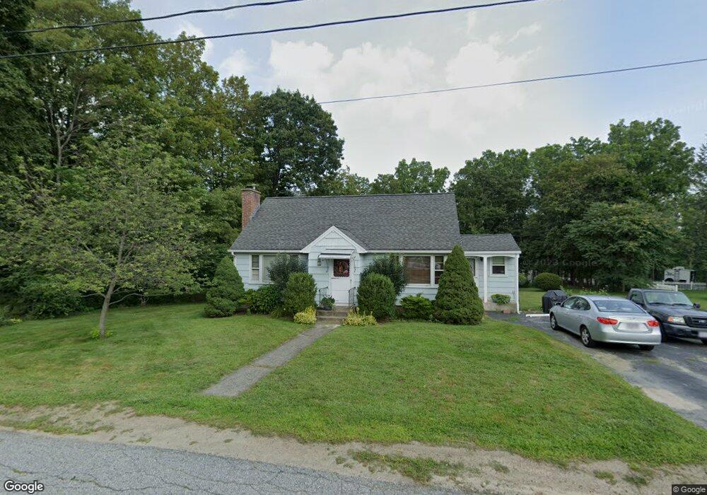
17 Peach Tree St West Boylston, MA 01583
Estimated Value: $482,000 - $527,000
3
Beds
2
Baths
1,659
Sq Ft
$303/Sq Ft
Est. Value
About This Home
This home is located at 17 Peach Tree St, West Boylston, MA 01583 and is currently estimated at $502,090, approximately $302 per square foot. 17 Peach Tree St is a home located in Worcester County with nearby schools including Major Edwards Elementary School, West Boylston Junior/Senior High School, and Abby Kelley Foster Charter Public School.
Ownership History
Date
Name
Owned For
Owner Type
Purchase Details
Closed on
Jan 30, 1991
Sold by
Forleo James S
Bought by
Parslow Parslow Timothy J Timothy J and Parslow Pamela J
Current Estimated Value
Create a Home Valuation Report for This Property
The Home Valuation Report is an in-depth analysis detailing your home's value as well as a comparison with similar homes in the area
Home Values in the Area
Average Home Value in this Area
Purchase History
| Date | Buyer | Sale Price | Title Company |
|---|---|---|---|
| Parslow Parslow Timothy J Timothy J | $133,000 | -- |
Source: Public Records
Mortgage History
| Date | Status | Borrower | Loan Amount |
|---|---|---|---|
| Open | Parslow Parslow Timothy J Timothy J | $192,000 | |
| Closed | Parslow Parslow Timothy J Timothy J | $133,000 | |
| Closed | Parslow Parslow Timothy J Timothy J | $106,500 | |
| Closed | Parslow Parslow Timothy J Timothy J | $15,500 |
Source: Public Records
Tax History Compared to Growth
Tax History
| Year | Tax Paid | Tax Assessment Tax Assessment Total Assessment is a certain percentage of the fair market value that is determined by local assessors to be the total taxable value of land and additions on the property. | Land | Improvement |
|---|---|---|---|---|
| 2025 | $54 | $390,200 | $94,100 | $296,100 |
| 2024 | $5,104 | $345,300 | $94,100 | $251,200 |
| 2023 | $5,288 | $339,400 | $93,500 | $245,900 |
| 2022 | $4,818 | $272,500 | $93,500 | $179,000 |
| 2021 | $4,816 | $260,900 | $89,700 | $171,200 |
| 2020 | $4,743 | $255,300 | $89,700 | $165,600 |
| 2019 | $4,558 | $241,800 | $89,700 | $152,100 |
| 2018 | $4,425 | $236,400 | $89,700 | $146,700 |
| 2017 | $4,191 | $222,900 | $89,700 | $133,200 |
| 2016 | $3,982 | $215,800 | $83,400 | $132,400 |
| 2015 | $3,791 | $206,700 | $82,600 | $124,100 |
Source: Public Records
Map
Nearby Homes
- 1 Highland Ave
- 12 Birchbrush Ln
- 740 Burncoat St Unit B
- 39 Davidson Rd
- 156 Hillside Village Dr
- 33 Meola Ave
- 39 Meola Ave
- 33 Isleboro St
- 1110 W Boylston St Unit A
- 29 Isleboro St
- 1097 W Boylston St
- 83 Hillside Village Dr
- 97 Hillside Village Dr
- 59 Santoro Rd
- 44 Dixfield St
- 62 Maple St
- 22 Danielles Way
- 26 Danielles Way
- 31 Danielles Way
- 54 Maple St
- 11 Peach Tree St
- 41 Maplewood Ave
- 44 Maplewood Ave
- 40 Maplewood Ave
- 276 Maple St
- 7 Peach Tree St
- 39 Maplewood Ave
- 23 Evergreen Ave
- 28 Highland Ave
- 1 Longview St
- 31 Highland Ave
- 7 Longview St
- 280 Maple St
- 25 Highland Ave
- 3 Peach Tree St
- 38 Edgewood Ave
- 262 Maple St
- 26 Evergreen Ave
- 258 Maple St
- 27 Maplewood Ave