17 Pennell Point Dr Brunswick, ME 04011
Estimated Value: $686,000 - $1,220,462
2
Beds
3
Baths
2,128
Sq Ft
$452/Sq Ft
Est. Value
About This Home
This home is located at 17 Pennell Point Dr, Brunswick, ME 04011 and is currently estimated at $962,366, approximately $452 per square foot. 17 Pennell Point Dr is a home with nearby schools including Priest Elementary-Middle School, Kate Furbish Elementary School, and Brunswick Jr High School.
Ownership History
Date
Name
Owned For
Owner Type
Purchase Details
Closed on
Feb 2, 2016
Sold by
Pennellville Point Llc
Bought by
Costello Brenda E and Macdonald Ruby E
Current Estimated Value
Purchase Details
Closed on
Aug 17, 2007
Sold by
Coffin Richard N
Bought by
Pennellville Point Llc
Create a Home Valuation Report for This Property
The Home Valuation Report is an in-depth analysis detailing your home's value as well as a comparison with similar homes in the area
Home Values in the Area
Average Home Value in this Area
Purchase History
| Date | Buyer | Sale Price | Title Company |
|---|---|---|---|
| Costello Brenda E | -- | -- | |
| Pennellville Point Llc | -- | -- |
Source: Public Records
Tax History Compared to Growth
Tax History
| Year | Tax Paid | Tax Assessment Tax Assessment Total Assessment is a certain percentage of the fair market value that is determined by local assessors to be the total taxable value of land and additions on the property. | Land | Improvement |
|---|---|---|---|---|
| 2024 | $14,145 | $593,100 | $273,200 | $319,900 |
| 2023 | $13,809 | $592,900 | $273,200 | $319,700 |
| 2022 | $12,832 | $591,600 | $273,200 | $318,400 |
| 2021 | $12,147 | $582,300 | $273,200 | $309,100 |
| 2020 | $11,611 | $570,000 | $260,900 | $309,100 |
| 2019 | $10,696 | $542,400 | $246,300 | $296,100 |
| 2018 | $0 | $538,900 | $246,300 | $292,600 |
| 2017 | $7,135 | $388,400 | $246,300 | $142,100 |
| 2016 | $4,764 | $162,300 | $162,300 | $0 |
| 2015 | $4,603 | $162,300 | $162,300 | $0 |
| 2014 | $4,447 | $162,300 | $162,300 | $0 |
| 2013 | $5,043 | $190,000 | $190,000 | $0 |
Source: Public Records
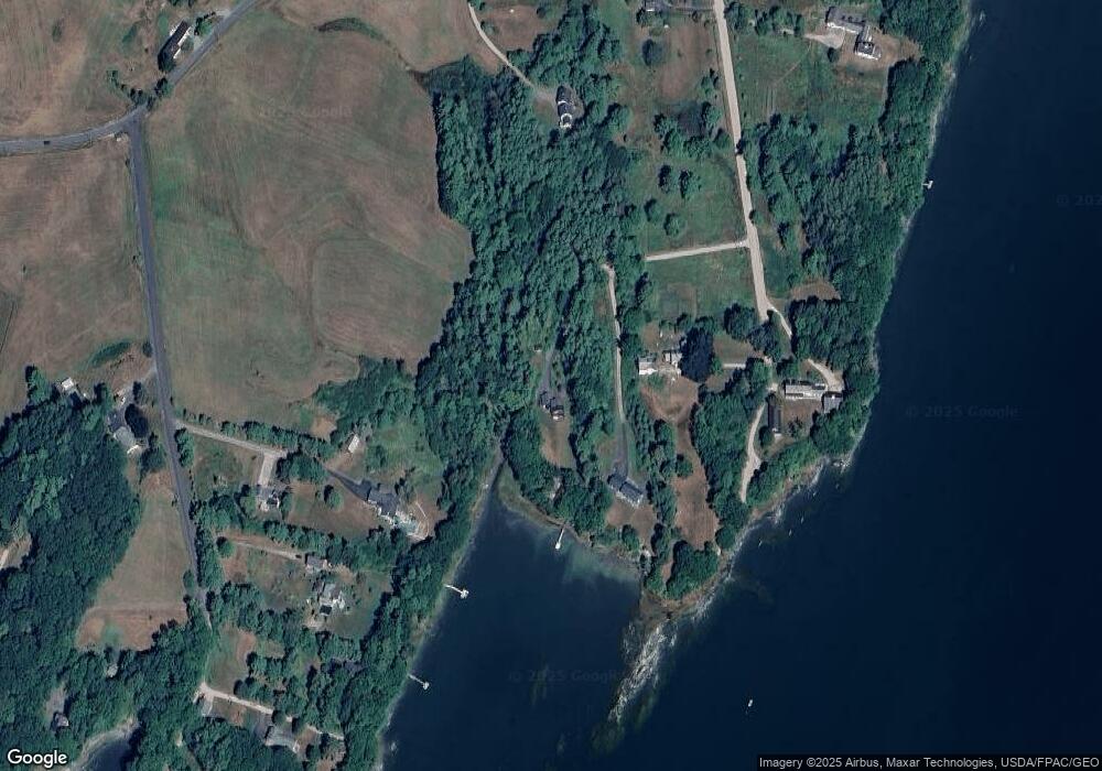
Map
Nearby Homes
- 270 Harpswell Neck Rd
- 0 Gundalo Gap Rd Unit 1638108
- 250 Mere Point Rd
- 853 Mere Point Rd
- Map 80 Lot 18-0 White Island
- 49 Gleed Dr
- 6 Melden Dr
- 0 Melden Dr
- 10 Betina Ln
- 10 Kitt St
- 54 Linnell Cir
- 11 Elwell Ln
- 242 Long Reach Ln
- 29 Elwell Ln
- 646 Gurnet Rd
- Lot 14 Village Cir
- 29 & 30 Nob Hill Ave
- Lot 8 Village Cir
- 32 Village Cir
- 23 Village Cir
- 11 Pennell Point Dr
- 292 Pennellville Rd
- 23 Pennell Way
- 17 Ocean View Dr
- 0 Pennellville Rd
- 287 Pennellville Rd
- 10 Ocean View Dr
- 43 Ocean Dr
- 47 Ocean Dr
- 258 Pennellville Rd
- 55 Ocean Dr
- 57 Ocean Dr
- 29 Pennell Way
- 257 Pennellville Rd
- 22 Ocean Dr
- 59 Ocean Dr
- 15 Pennell Way
- 236 Pennellville Rd
- 54 Pennell Way
- 58 Ocean Dr