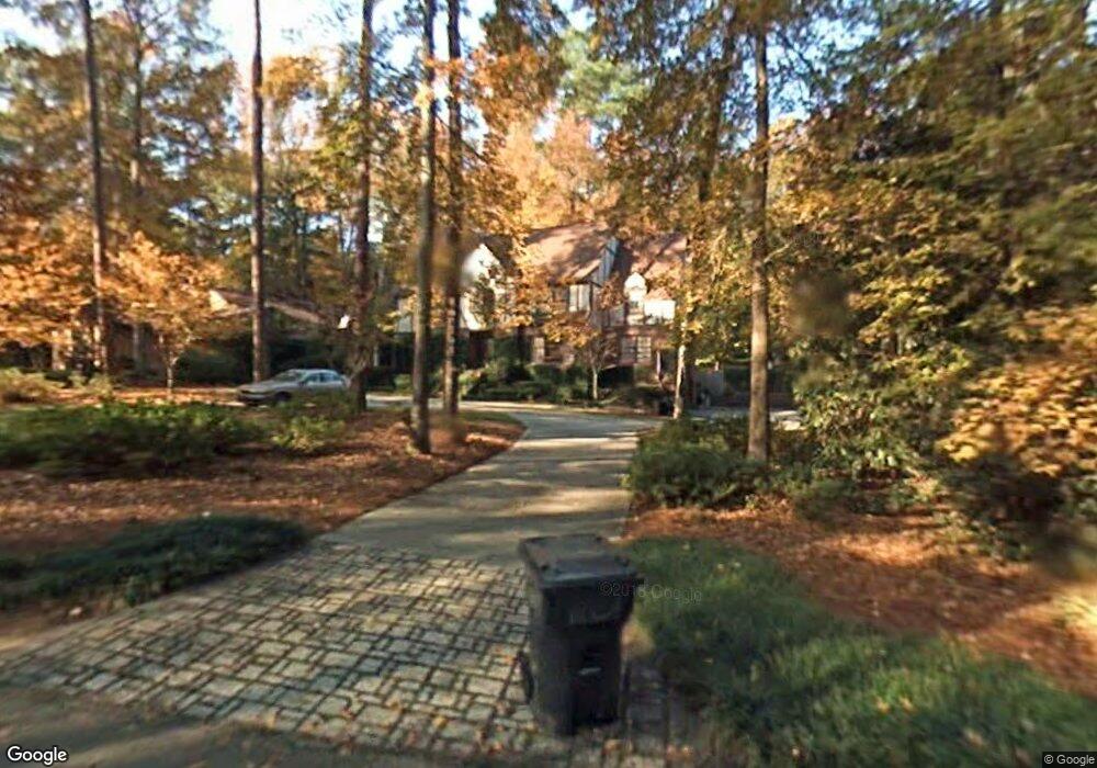
17 Rockbrook Rd Augusta, GA 30909
West Augusta NeighborhoodEstimated Value: $754,000 - $944,000
4
Beds
5
Baths
3,748
Sq Ft
$220/Sq Ft
Est. Value
About This Home
This home is located at 17 Rockbrook Rd, Augusta, GA 30909 and is currently estimated at $825,326, approximately $220 per square foot. 17 Rockbrook Rd is a home located in Richmond County with nearby schools including Tutt Middle School, Johnson Magnet, and Westside High School.
Ownership History
Date
Name
Owned For
Owner Type
Purchase Details
Closed on
Oct 19, 2021
Sold by
Hudson Penny F
Bought by
Hudson John G
Current Estimated Value
Purchase Details
Closed on
Sep 9, 1997
Sold by
Hudson John G
Bought by
Hudson Penny F
Purchase Details
Closed on
Sep 5, 1997
Sold by
Hudson John G
Bought by
Hudson Penny F
Purchase Details
Closed on
Apr 6, 1993
Sold by
Riley Maxine J
Bought by
Whitley John C
Purchase Details
Closed on
Apr 2, 1993
Sold by
Riley Maxine J
Bought by
Whitley John C
Purchase Details
Closed on
Jul 1, 1978
Purchase Details
Closed on
Jun 1, 1976
Purchase Details
Closed on
Jun 1, 1974
Create a Home Valuation Report for This Property
The Home Valuation Report is an in-depth analysis detailing your home's value as well as a comparison with similar homes in the area
Home Values in the Area
Average Home Value in this Area
Purchase History
| Date | Buyer | Sale Price | Title Company |
|---|---|---|---|
| Hudson John G | -- | -- | |
| Hudson Penny F | -- | -- | |
| Hudson John G | -- | -- | |
| Hudson Penny F | -- | -- | |
| Hudson John G | $330,000 | -- | |
| Whitley John C | -- | -- | |
| Whitley John C | $250,000 | -- | |
| -- | $135,000 | -- | |
| -- | $115,000 | -- | |
| -- | $18,500 | -- |
Source: Public Records
Tax History
| Year | Tax Paid | Tax Assessment Tax Assessment Total Assessment is a certain percentage of the fair market value that is determined by local assessors to be the total taxable value of land and additions on the property. | Land | Improvement |
|---|---|---|---|---|
| 2025 | $2,920 | $312,320 | $24,000 | $288,320 |
| 2024 | $2,920 | $346,700 | $24,000 | $322,700 |
| 2023 | $3,184 | $299,840 | $24,000 | $275,840 |
| 2022 | $8,004 | $274,696 | $24,000 | $250,696 |
| 2021 | $8,693 | $277,743 | $24,000 | $253,743 |
| 2020 | $3,633 | $115,200 | $24,000 | $91,200 |
| 2019 | $6,922 | $209,344 | $24,000 | $185,344 |
| 2018 | $6,866 | $205,920 | $24,000 | $181,920 |
| 2017 | $6,828 | $205,920 | $24,000 | $181,920 |
| 2016 | $6,834 | $205,920 | $24,000 | $181,920 |
| 2015 | $6,888 | $205,920 | $24,000 | $181,920 |
| 2014 | $6,897 | $205,920 | $24,000 | $181,920 |
Source: Public Records
Map
Nearby Homes
- 19 Rockbrook Rd
- 15 Rockbrook Rd
- 21 Rockbrook Rd
- 13 Rockbrook Rd
- 515 Henderson Dr
- 23 Rockbrook Rd
- 513 Henderson Dr
- 517 Henderson Dr
- 16 Rockbrook Rd
- 11 Rockbrook Rd
- 14 Indian Creek Rd
- 18 Rockbrook Rd
- 511 Henderson Dr
- 512 Henderson Dr
- 25 Rockbrook Rd
- 519 Henderson Dr
- 2804 Palmer Place
- 12 Indian Creek Rd
- 20 Rockbrook Rd
- 9 Rockbrook Rd
Your Personal Tour Guide
Ask me questions while you tour the home.