17 Stacy Ln Eliot, ME 03903
East Eliot NeighborhoodEstimated Value: $616,000 - $712,000
3
Beds
3
Baths
1,644
Sq Ft
$395/Sq Ft
Est. Value
About This Home
This home is located at 17 Stacy Ln, Eliot, ME 03903 and is currently estimated at $648,708, approximately $394 per square foot. 17 Stacy Ln is a home with nearby schools including Marshwood High School and Seacoast Waldorf School.
Ownership History
Date
Name
Owned For
Owner Type
Purchase Details
Closed on
Oct 16, 2020
Sold by
Melnik Lauren A and Melnik Stephen G
Bought by
Melnik Lauren A and Melnik Albert Kenneth
Current Estimated Value
Home Financials for this Owner
Home Financials are based on the most recent Mortgage that was taken out on this home.
Original Mortgage
$181,000
Outstanding Balance
$160,696
Interest Rate
2.8%
Mortgage Type
New Conventional
Estimated Equity
$488,012
Purchase Details
Closed on
Jan 15, 2019
Sold by
Albert Kenneth S and Albert Susan
Bought by
Melnik Stephen G and Melnik Lauren A
Home Financials for this Owner
Home Financials are based on the most recent Mortgage that was taken out on this home.
Original Mortgage
$180,250
Interest Rate
4.7%
Mortgage Type
New Conventional
Create a Home Valuation Report for This Property
The Home Valuation Report is an in-depth analysis detailing your home's value as well as a comparison with similar homes in the area
Home Values in the Area
Average Home Value in this Area
Purchase History
| Date | Buyer | Sale Price | Title Company |
|---|---|---|---|
| Melnik Lauren A | -- | None Available | |
| Melnik Stephen G | -- | Red Door Title |
Source: Public Records
Mortgage History
| Date | Status | Borrower | Loan Amount |
|---|---|---|---|
| Open | Melnik Lauren A | $181,000 | |
| Previous Owner | Melnik Stephen G | $180,250 |
Source: Public Records
Tax History Compared to Growth
Tax History
| Year | Tax Paid | Tax Assessment Tax Assessment Total Assessment is a certain percentage of the fair market value that is determined by local assessors to be the total taxable value of land and additions on the property. | Land | Improvement |
|---|---|---|---|---|
| 2024 | $5,777 | $487,500 | $153,000 | $334,500 |
| 2023 | $5,576 | $455,200 | $146,600 | $308,600 |
| 2022 | $5,193 | $429,200 | $146,600 | $282,600 |
| 2021 | $4,930 | $365,200 | $111,300 | $253,900 |
| 2020 | $4,728 | $321,600 | $106,000 | $215,600 |
| 2019 | $1,558 | $106,000 | $106,000 | $0 |
| 2018 | $1,558 | $106,000 | $106,000 | $0 |
Source: Public Records
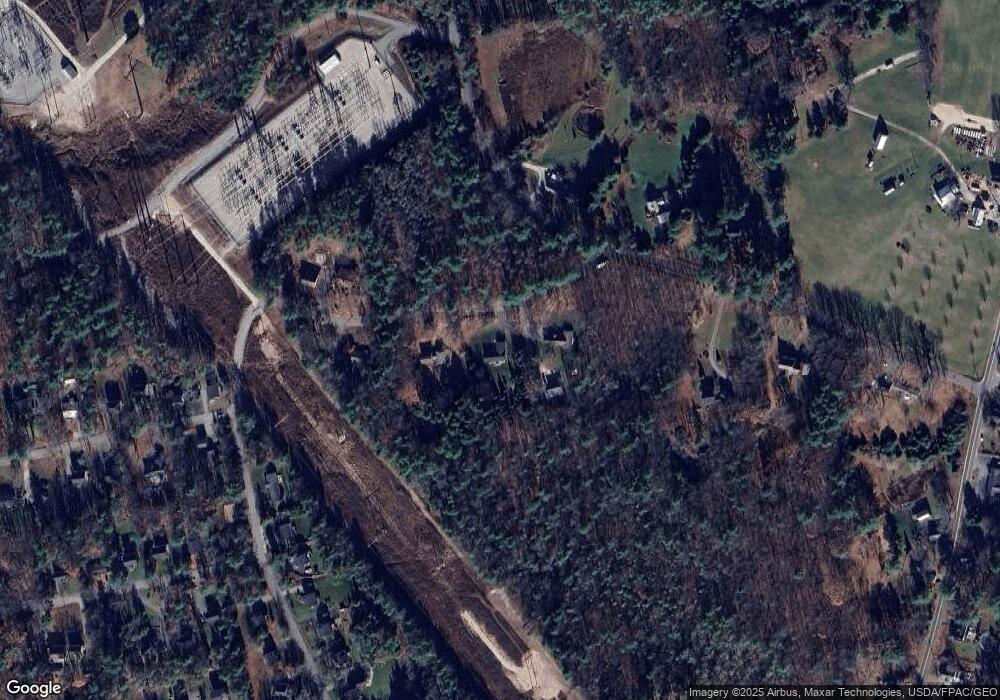
Map
Nearby Homes
- 82 Stacy Ln
- 25 Heritage Dr
- 34 Imperial Dr
- 19 Heritage Dr
- 35 Marshwood Dr
- 16 Imperial Dr
- Lot 2 Cedar Tbd
- 10 Pasture Hill Dr
- 10 Broadfields Rd
- 708 River Rd Unit 2
- 708 River Rd Unit 3
- 1708 State Rd
- 25 Fosters Dr
- 19 Schooner Dr
- 18 Governor Hill Rd
- 4 Shore Ln
- 51 Woodland Hills
- 1 Independence Dr
- 4 Freedom Dr
- 14 Independence Dr
- 23 Stacy Ln
- 9 Stacy Ln
- 29 Stacy Ln
- 31 Worster Rd
- 21 Greenbriar Dr
- 94/2 Worster Rd
- 19 Greenbriar Dr
- 15 Greenbriar Dr
- 15 Greenbriar Dr
- 34 Stacy Ln
- Lot 50 Off Worster Rd
- 9 Greenbriar Dr
- 19 Greenbriar Dr (Lot 78-96)
- 25 Greenbriar Dr
- 25 Greenbriar Dr
- 54 Worster Rd
- 20 Greenbriar Drive (Lot 78-81)
- 29 Greenbriar Dr
- 29 Greenbriar Dr
- 37 Greenbriar Dr Unit 70-37