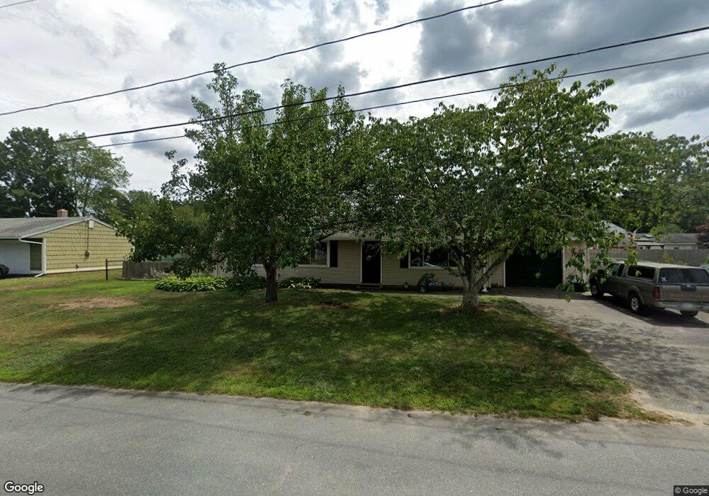
17 Terry Ln E Wareham, MA 02571
Weweantic NeighborhoodEstimated Value: $379,000 - $467,000
4
Beds
1
Bath
1,104
Sq Ft
$387/Sq Ft
Est. Value
About This Home
This home is located at 17 Terry Ln E, Wareham, MA 02571 and is currently estimated at $426,718, approximately $386 per square foot. 17 Terry Ln E is a home located in Plymouth County with nearby schools including Tabor Academy.
Ownership History
Date
Name
Owned For
Owner Type
Purchase Details
Closed on
Feb 14, 2023
Sold by
Harte Myrna L
Bought by
Harte Ft and Harte
Current Estimated Value
Purchase Details
Closed on
Mar 17, 2015
Sold by
Harte Patrick J
Bought by
Harte Myrna L
Home Financials for this Owner
Home Financials are based on the most recent Mortgage that was taken out on this home.
Original Mortgage
$88,500
Interest Rate
3.67%
Mortgage Type
New Conventional
Purchase Details
Closed on
Jun 24, 1996
Sold by
Boulanger Mark D and Boulanger Laura A
Bought by
Harte Patrick J and Harte Myrna L
Home Financials for this Owner
Home Financials are based on the most recent Mortgage that was taken out on this home.
Original Mortgage
$79,900
Interest Rate
8.21%
Mortgage Type
Purchase Money Mortgage
Create a Home Valuation Report for This Property
The Home Valuation Report is an in-depth analysis detailing your home's value as well as a comparison with similar homes in the area
Home Values in the Area
Average Home Value in this Area
Purchase History
| Date | Buyer | Sale Price | Title Company |
|---|---|---|---|
| Harte Ft | -- | None Available | |
| Harte Ft | -- | None Available | |
| Harte Myrna L | -- | -- | |
| Harte Myrna L | -- | -- | |
| Harte Patrick J | $89,900 | -- | |
| Harte Patrick J | $89,900 | -- |
Source: Public Records
Mortgage History
| Date | Status | Borrower | Loan Amount |
|---|---|---|---|
| Previous Owner | Harte Myrna L | $88,500 | |
| Previous Owner | Harte Patrick J | $110,000 | |
| Previous Owner | Harte Patrick J | $79,900 |
Source: Public Records
Tax History
| Year | Tax Paid | Tax Assessment Tax Assessment Total Assessment is a certain percentage of the fair market value that is determined by local assessors to be the total taxable value of land and additions on the property. | Land | Improvement |
|---|---|---|---|---|
| 2025 | $3,581 | $343,700 | $110,000 | $233,700 |
| 2024 | $3,712 | $330,500 | $86,100 | $244,400 |
| 2023 | $3,555 | $295,500 | $78,200 | $217,300 |
| 2022 | $3,096 | $234,900 | $78,200 | $156,700 |
| 2021 | $3,061 | $227,600 | $78,200 | $149,400 |
| 2020 | $2,856 | $215,400 | $78,200 | $137,200 |
| 2019 | $2,730 | $205,400 | $75,500 | $129,900 |
| 2018 | $2,576 | $189,000 | $75,500 | $113,500 |
| 2017 | $2,385 | $177,300 | $75,500 | $101,800 |
| 2016 | $2,178 | $161,000 | $73,300 | $87,700 |
| 2015 | $2,104 | $161,000 | $73,300 | $87,700 |
| 2014 | $2,010 | $156,400 | $69,600 | $86,800 |
Source: Public Records
Map
Nearby Homes
- 9 Woodville Way
- 58 Shady Ln
- 233 Marion Rd
- 21 Bayview St
- 14 Briarwood Dr
- 20 Grant St
- 15 14th Ave
- 12 Taft St
- 4 Roosevelt St
- 10 Barnes St
- 43 Shore Ave
- 15 Broadmarsh Ave
- 0 Cromesett Rd (Off) Unit 73385395
- 6 Allen Ave
- 6 Bourne Terrace
- 10 Longmeadow Dr
- 1 Nimrod Way
- 437 Main St
- 110 Mayflower Ridge Dr
- 929 Point Rd
Your Personal Tour Guide
Ask me questions while you tour the home.