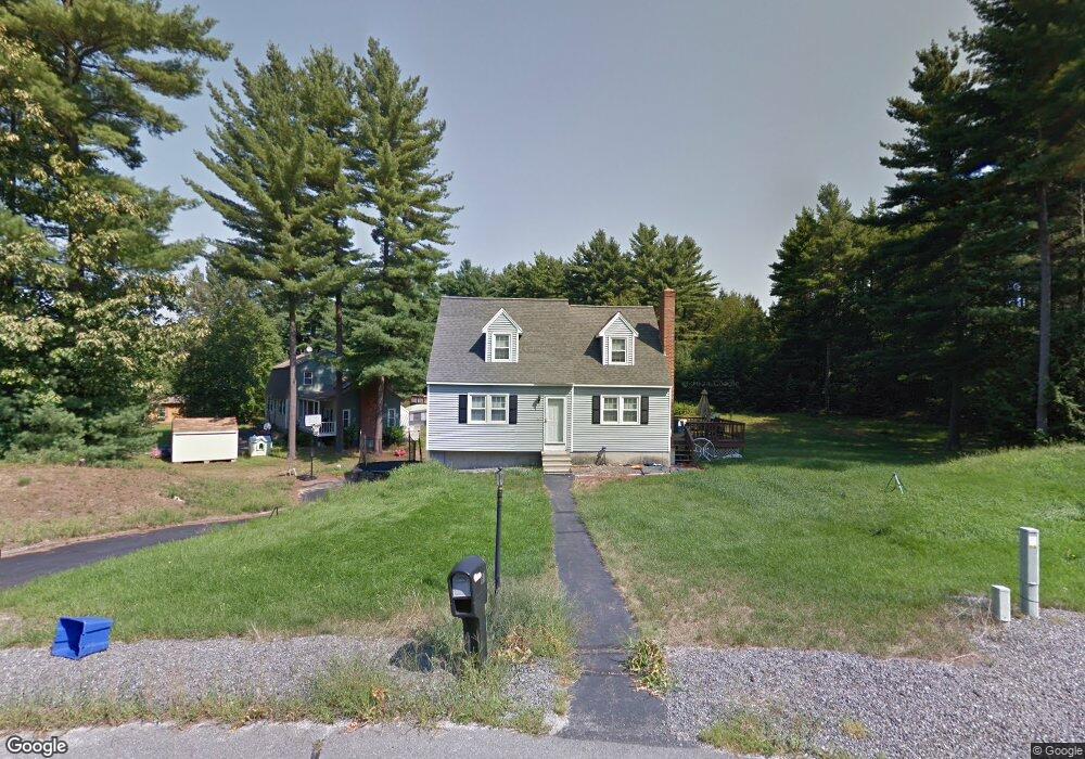
17 Teton Dr Londonderry, NH 03053
Estimated Value: $551,923 - $570,000
3
Beds
2
Baths
1,496
Sq Ft
$375/Sq Ft
Est. Value
About This Home
This home is located at 17 Teton Dr, Londonderry, NH 03053 and is currently estimated at $561,481, approximately $375 per square foot. 17 Teton Dr is a home with nearby schools including North Londonderry Elementary School, Londonderry Middle School, and Londonderry Senior High School.
Ownership History
Date
Name
Owned For
Owner Type
Purchase Details
Closed on
Oct 15, 1997
Sold by
Salvucci Gerard J and Salvucci Patricia M
Bought by
Burns James J and Burns Maria T
Current Estimated Value
Home Financials for this Owner
Home Financials are based on the most recent Mortgage that was taken out on this home.
Original Mortgage
$127,710
Outstanding Balance
$20,536
Interest Rate
7.46%
Estimated Equity
$540,945
Create a Home Valuation Report for This Property
The Home Valuation Report is an in-depth analysis detailing your home's value as well as a comparison with similar homes in the area
Home Values in the Area
Average Home Value in this Area
Purchase History
| Date | Buyer | Sale Price | Title Company |
|---|---|---|---|
| Burns James J | $128,000 | -- |
Source: Public Records
Mortgage History
| Date | Status | Borrower | Loan Amount |
|---|---|---|---|
| Open | Burns James J | $17,969 | |
| Open | Burns James J | $60,000 | |
| Open | Burns James J | $127,710 |
Source: Public Records
Tax History Compared to Growth
Tax History
| Year | Tax Paid | Tax Assessment Tax Assessment Total Assessment is a certain percentage of the fair market value that is determined by local assessors to be the total taxable value of land and additions on the property. | Land | Improvement |
|---|---|---|---|---|
| 2024 | $6,772 | $419,600 | $199,900 | $219,700 |
| 2023 | $6,675 | $426,500 | $199,900 | $226,600 |
| 2022 | $6,607 | $357,500 | $149,800 | $207,700 |
| 2021 | $6,571 | $357,500 | $149,800 | $207,700 |
| 2020 | $6,477 | $322,100 | $121,100 | $201,000 |
| 2019 | $6,246 | $322,100 | $121,100 | $201,000 |
| 2018 | $5,866 | $269,100 | $100,200 | $168,900 |
| 2017 | $5,815 | $269,100 | $100,200 | $168,900 |
| 2016 | $5,786 | $269,100 | $100,200 | $168,900 |
| 2015 | $5,656 | $269,100 | $100,200 | $168,900 |
| 2014 | $5,675 | $269,100 | $100,200 | $168,900 |
| 2011 | -- | $278,200 | $100,200 | $178,000 |
Source: Public Records
Map
Nearby Homes
- 8 Iroquois Cir
- 15 Tamarack Ct
- 29 Watts Landing Unit 24
- 53 Pine Ave
- 67 Pullman St
- 15 Harvey Rd
- 3-C Mustang Dr Unit MODEL
- 9 Mustang Dr Unit C
- 9 Mustang Dr Unit B
- 7 Mustang Dr Unit C
- 7 Mustang Dr Unit END UNIT-A
- 4543 Brown Ave
- 4481 Brown Ave
- 4243 Brown Ave
- 490 Charles Bancroft Hwy
- 35 Red Deer Rd
- 769 Daniel Webster Hwy
- 25 Chatfield Dr
- 224 High Range Rd
- 22 Kimberly Dr
- 15 Teton Dr
- 19 Teton Dr
- 16 Teton Dr
- 13 Teton Dr
- 11 Teton Dr
- 14 Teton Dr
- 12 Teton Dr
- 9 Teton Dr
- 7 Teton Dr
- 1 Iroquois Cir
- 8 Teton Dr
- 125B Litchfield Rd
- 125B Litchfield Rd Unit 125
- 125B Litchfield Rd Unit 1
- 125B Litchfield Rd Unit B
- 125 Litchfield Rd
- 125 Litchfield Rd Unit B
- 3 Iroquois Cir
- 29 Yellowstone Dr
- 31 Yellowstone Dr