Estimated Value: $426,000 - $604,304
3
Beds
2
Baths
1,632
Sq Ft
$297/Sq Ft
Est. Value
About This Home
This home is located at 17 Townsend Dr, Dover, NH 03820 and is currently estimated at $484,076, approximately $296 per square foot. 17 Townsend Dr is a home located in Strafford County with nearby schools including Horne Street School, Dover Middle School, and Dover Senior High School.
Ownership History
Date
Name
Owned For
Owner Type
Purchase Details
Closed on
Mar 13, 2008
Sold by
Stf Development Corp
Bought by
Paolini David
Current Estimated Value
Home Financials for this Owner
Home Financials are based on the most recent Mortgage that was taken out on this home.
Original Mortgage
$156,500
Interest Rate
5.72%
Create a Home Valuation Report for This Property
The Home Valuation Report is an in-depth analysis detailing your home's value as well as a comparison with similar homes in the area
Home Values in the Area
Average Home Value in this Area
Purchase History
| Date | Buyer | Sale Price | Title Company |
|---|---|---|---|
| Paolini David | $224,000 | -- |
Source: Public Records
Mortgage History
| Date | Status | Borrower | Loan Amount |
|---|---|---|---|
| Open | Paolini David | $135,000 | |
| Closed | Paolini David | $156,500 |
Source: Public Records
Tax History
| Year | Tax Paid | Tax Assessment Tax Assessment Total Assessment is a certain percentage of the fair market value that is determined by local assessors to be the total taxable value of land and additions on the property. | Land | Improvement |
|---|---|---|---|---|
| 2024 | $7,272 | $400,200 | $90,000 | $310,200 |
| 2023 | $6,607 | $353,300 | $78,000 | $275,300 |
| 2022 | $6,484 | $326,800 | $78,000 | $248,800 |
| 2021 | $6,260 | $288,500 | $70,000 | $218,500 |
| 2020 | $6,389 | $257,100 | $76,000 | $181,100 |
| 2019 | $6,232 | $247,400 | $70,000 | $177,400 |
| 2018 | $5,769 | $231,500 | $54,000 | $177,500 |
| 2017 | $5,490 | $212,200 | $40,000 | $172,200 |
| 2016 | $5,455 | $207,500 | $44,000 | $163,500 |
| 2015 | $4,667 | $175,400 | $16,000 | $159,400 |
| 2014 | $4,562 | $175,400 | $16,000 | $159,400 |
| 2011 | $4,554 | $181,300 | $42,000 | $139,300 |
Source: Public Records
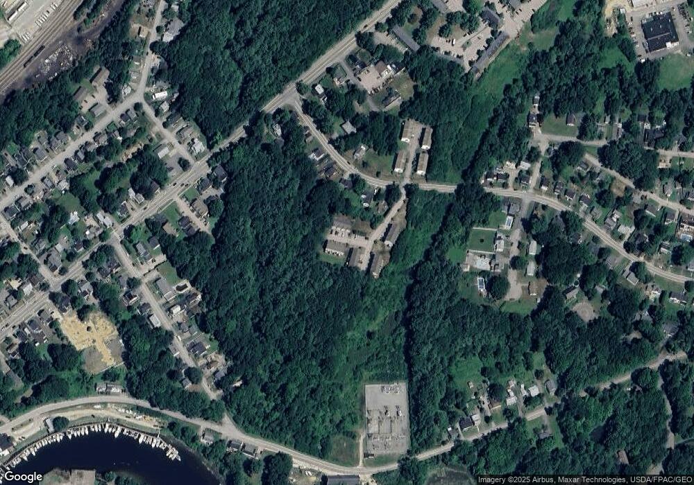
Map
Nearby Homes
- 6 Granite St
- 3 Cocheco St
- 46-50 Cocheco St
- 226 Oak St
- Lot 2 Emerson Ridge Unit 2
- Lot 1 Emerson Ridge Unit 1
- Lot 3 Enclave Unit 13F-2
- Lot 6 Emerson Ridge Unit 6
- 36 Little Bay Dr
- 22 Little Bay Dr
- 24 Little Bay Dr
- 47 Central Ave
- 93 Henry Law Ave Unit 74
- 34 Floral Ave Unit 5
- 11 Country Club Estates Dr Unit 11
- 43 Sixth St Unit A and B
- 725 Central Ave Unit 203
- 725 Central Ave Unit LL03
- 725 Central Ave Unit 301
- 725 Central Ave Unit 302
- 27 Townsend Dr
- 25 Townsend Dr
- 35 Townsend Dr
- 33 Townsend Dr
- 6 Townsend Dr
- 4 Townsend Dr
- 27 Townsend Dr Unit 27
- 19 Townsend Dr
- 30 Townsend Dr
- 32 Townsend Dr
- 34 Townsend Dr
- 8 Townsend Dr
- 29 Townsend Dr
- 37 Townsend Dr
- 31 Townsend Dr
- 21 Townsend Dr
- 15 Townsend Dr
- 19 Atlantic Ave
- 11 Atlantic Ave
- 109 Portland Ave Unit D
Your Personal Tour Guide
Ask me questions while you tour the home.