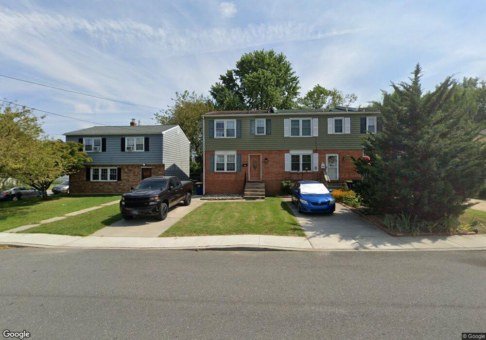
17 W 9th St New Castle, DE 19720
Estimated Value: $235,000 - $297,000
3
Beds
1
Bath
1,280
Sq Ft
$206/Sq Ft
Est. Value
About This Home
This home is located at 17 W 9th St, New Castle, DE 19720 and is currently estimated at $263,569, approximately $205 per square foot. 17 W 9th St is a home located in New Castle County with nearby schools including Carrie Downie Elementary School, Calvin R. McCullough Middle School, and St. Peter Catholic School.
Ownership History
Date
Name
Owned For
Owner Type
Purchase Details
Closed on
Mar 31, 2021
Sold by
Gamber Christina Kay
Bought by
Lawn Management Llc
Current Estimated Value
Purchase Details
Closed on
Feb 23, 2016
Sold by
Ryan Linda K
Bought by
Ryan Linda Kay
Purchase Details
Closed on
Jan 27, 2003
Sold by
Ryan Linda K and Gamber Linda F
Bought by
Ryan Linda K
Home Financials for this Owner
Home Financials are based on the most recent Mortgage that was taken out on this home.
Original Mortgage
$72,000
Interest Rate
5.99%
Mortgage Type
Purchase Money Mortgage
Create a Home Valuation Report for This Property
The Home Valuation Report is an in-depth analysis detailing your home's value as well as a comparison with similar homes in the area
Home Values in the Area
Average Home Value in this Area
Purchase History
| Date | Buyer | Sale Price | Title Company |
|---|---|---|---|
| Lawn Management Llc | $165,000 | None Available | |
| Ryan Linda Kay | -- | None Available | |
| Ryan Linda K | -- | -- |
Source: Public Records
Mortgage History
| Date | Status | Borrower | Loan Amount |
|---|---|---|---|
| Previous Owner | Ryan Linda K | $72,000 |
Source: Public Records
Tax History Compared to Growth
Tax History
| Year | Tax Paid | Tax Assessment Tax Assessment Total Assessment is a certain percentage of the fair market value that is determined by local assessors to be the total taxable value of land and additions on the property. | Land | Improvement |
|---|---|---|---|---|
| 2024 | $1,151 | $40,100 | $5,600 | $34,500 |
| 2023 | $1,040 | $40,100 | $5,600 | $34,500 |
| 2022 | $1,081 | $40,100 | $5,600 | $34,500 |
| 2021 | $1,065 | $40,100 | $5,600 | $34,500 |
| 2020 | $0 | $40,100 | $5,600 | $34,500 |
| 2019 | $631 | $40,100 | $5,600 | $34,500 |
| 2018 | $92 | $40,100 | $5,600 | $34,500 |
| 2017 | -- | $40,100 | $5,600 | $34,500 |
| 2016 | -- | $40,100 | $5,600 | $34,500 |
| 2015 | $432 | $40,100 | $5,600 | $34,500 |
| 2014 | $520 | $40,100 | $5,600 | $34,500 |
Source: Public Records
Map
Nearby Homes
- 1010 Clayton St
- 55 W 5th St
- 610 W 11th St Unit A023
- 0 Washington St
- 0 Chestnut St Unit DENC2088888
- 14 Dalby Aly
- 123 E 2nd St
- 160 E 2nd St
- 166 E 2nd St
- 55 The Strand
- 258 E 2nd St
- 110 Skelton Dr
- 14 Lasalle Ave
- 6 Patrick Henry Rd
- 19 Rivanna Rd
- 216 N Heron Ln
- Magnolia II Plan at Riverbend
- 211 Brylgon Ave
- 22 Herbert Dr
- 522 E Roosevelt Ave