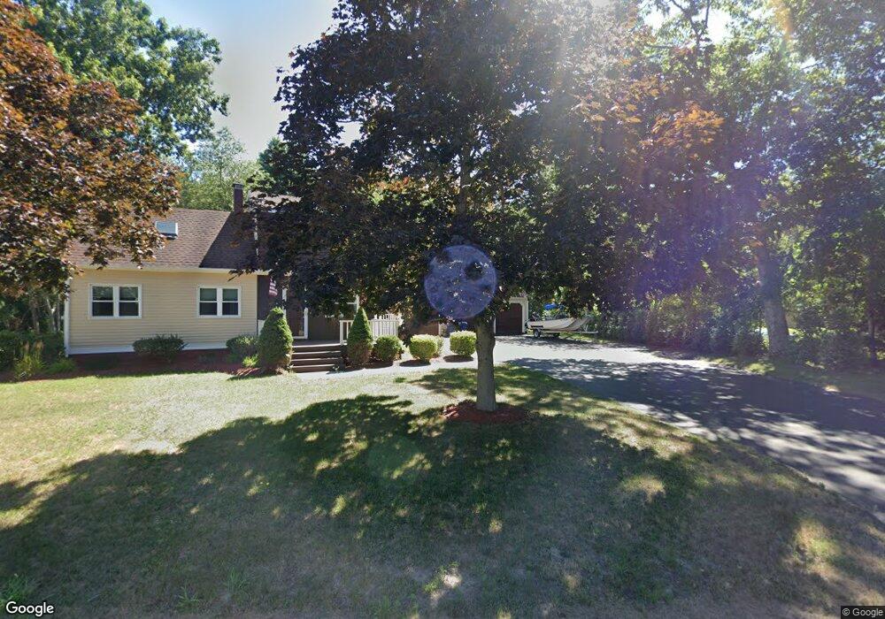
17 Weaver St West Wareham, MA 02576
Estimated Value: $565,000 - $627,311
3
Beds
2
Baths
2,208
Sq Ft
$269/Sq Ft
Est. Value
About This Home
This home is located at 17 Weaver St, West Wareham, MA 02576 and is currently estimated at $594,828, approximately $269 per square foot. 17 Weaver St is a home located in Plymouth County.
Ownership History
Date
Name
Owned For
Owner Type
Purchase Details
Closed on
Dec 15, 2004
Sold by
Mascarello Carmelina
Bought by
Mccarthy Kevin and Prevett-Mccarthy Lois
Current Estimated Value
Home Financials for this Owner
Home Financials are based on the most recent Mortgage that was taken out on this home.
Original Mortgage
$256,000
Outstanding Balance
$127,778
Interest Rate
5.68%
Mortgage Type
Purchase Money Mortgage
Estimated Equity
$467,050
Purchase Details
Closed on
May 19, 1988
Sold by
Barrett Steven R
Bought by
Mascarello Anthony S
Purchase Details
Closed on
Mar 24, 1988
Sold by
Tavares Louise E
Bought by
Barrett Steven R
Create a Home Valuation Report for This Property
The Home Valuation Report is an in-depth analysis detailing your home's value as well as a comparison with similar homes in the area
Home Values in the Area
Average Home Value in this Area
Purchase History
| Date | Buyer | Sale Price | Title Company |
|---|---|---|---|
| Mccarthy Kevin | $320,000 | -- | |
| Mccarthy Kevin | $320,000 | -- | |
| Mascarello Anthony S | $145,000 | -- | |
| Barrett Steven R | $6,000 | -- |
Source: Public Records
Mortgage History
| Date | Status | Borrower | Loan Amount |
|---|---|---|---|
| Open | Barrett Steven R | $42,500 | |
| Open | Barrett Steven R | $256,000 | |
| Closed | Barrett Steven R | $256,000 |
Source: Public Records
Tax History Compared to Growth
Tax History
| Year | Tax Paid | Tax Assessment Tax Assessment Total Assessment is a certain percentage of the fair market value that is determined by local assessors to be the total taxable value of land and additions on the property. | Land | Improvement |
|---|---|---|---|---|
| 2025 | $5,171 | $496,300 | $134,800 | $361,500 |
| 2024 | $5,392 | $480,100 | $108,100 | $372,000 |
| 2023 | $4,794 | $437,300 | $98,200 | $339,100 |
| 2022 | $4,794 | $363,700 | $98,200 | $265,500 |
| 2021 | $4,397 | $326,900 | $98,200 | $228,700 |
| 2020 | $4,206 | $317,200 | $98,200 | $219,000 |
| 2019 | $4,093 | $308,000 | $102,800 | $205,200 |
| 2018 | $3,786 | $277,800 | $102,800 | $175,000 |
| 2017 | $3,736 | $277,800 | $102,800 | $175,000 |
| 2016 | $3,562 | $263,300 | $107,200 | $156,100 |
| 2015 | $3,392 | $259,500 | $107,200 | $152,300 |
| 2014 | $3,512 | $273,300 | $107,200 | $166,100 |
Source: Public Records
Map
Nearby Homes
- 47 Weaver St
- 20 Gault Rd
- 51 Crest Dr
- 103 Castle Dr
- 27 Siesta Dr
- 2230 Cranberry Hwy Unit 1
- 41 Longboat Rd
- 11 Acoaxet Ln
- 72 Papermill Rd Unit 72
- 563 County Rd
- 59 Timber Ln
- 87 Great Hill Dr
- 189 Pine View Terrace
- 11 Fonseca Way
- 199 Windswept Rd
- 46 Helen St
- 7 Forbes Rd
- 9 White Pine Ave
- 19 Station St
- 0 County Rd