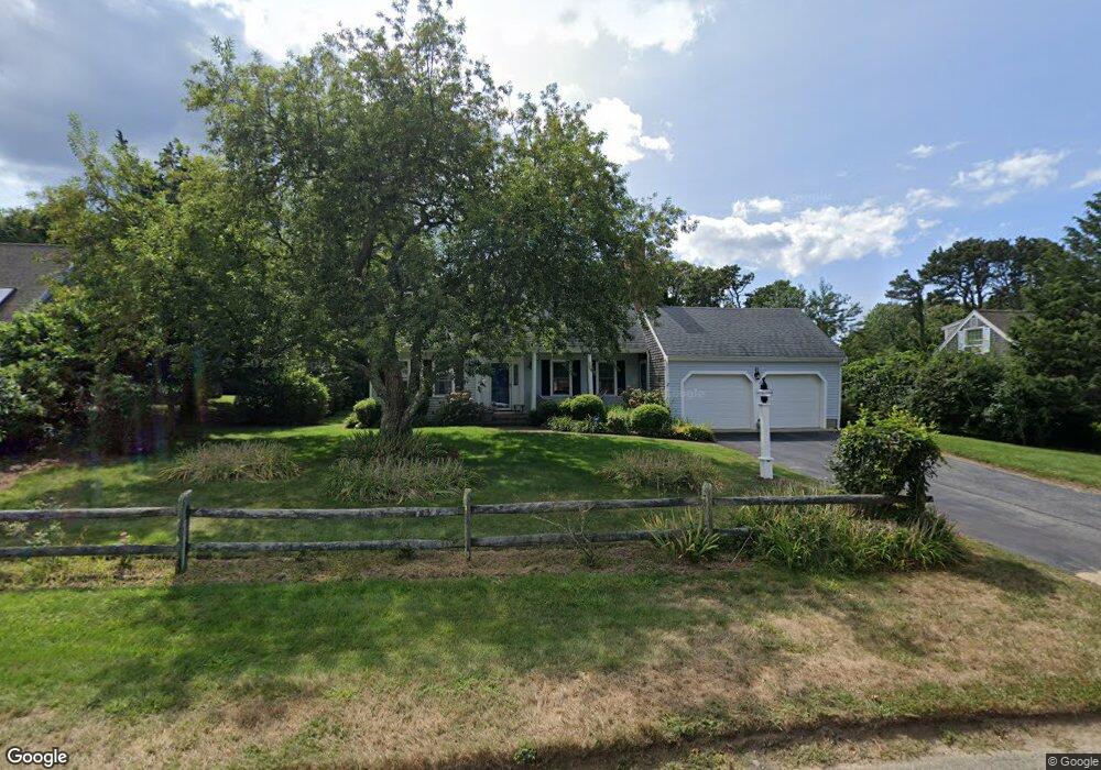
170 Ambergris Cir Brewster, MA 02631
Estimated Value: $1,324,306 - $1,656,000
3
Beds
3
Baths
1,801
Sq Ft
$822/Sq Ft
Est. Value
About This Home
This home is located at 170 Ambergris Cir, Brewster, MA 02631 and is currently estimated at $1,480,077, approximately $821 per square foot. 170 Ambergris Cir is a home located in Barnstable County with nearby schools including Stony Brook Elementary School, Eddy Elementary School, and Nauset Regional Middle School.
Ownership History
Date
Name
Owned For
Owner Type
Purchase Details
Closed on
Oct 25, 2017
Sold by
Flynn Kathleen M
Bought by
Kathleen Flynn T
Current Estimated Value
Purchase Details
Closed on
Mar 28, 2003
Sold by
Binmore Gail Doherty
Bought by
Mccarthy Maureen A and Flynn Kathleen M
Home Financials for this Owner
Home Financials are based on the most recent Mortgage that was taken out on this home.
Original Mortgage
$400,000
Interest Rate
5.91%
Mortgage Type
Purchase Money Mortgage
Purchase Details
Closed on
Jun 30, 2000
Sold by
Marino Joan A
Bought by
Binmore Gail D
Home Financials for this Owner
Home Financials are based on the most recent Mortgage that was taken out on this home.
Original Mortgage
$87,000
Interest Rate
8.59%
Mortgage Type
Purchase Money Mortgage
Create a Home Valuation Report for This Property
The Home Valuation Report is an in-depth analysis detailing your home's value as well as a comparison with similar homes in the area
Home Values in the Area
Average Home Value in this Area
Purchase History
| Date | Buyer | Sale Price | Title Company |
|---|---|---|---|
| Kathleen Flynn T | -- | -- | |
| Mccarthy Maureen A | $622,000 | -- | |
| Binmore Gail D | $337,500 | -- |
Source: Public Records
Mortgage History
| Date | Status | Borrower | Loan Amount |
|---|---|---|---|
| Previous Owner | Binmore Gail D | $417,000 | |
| Previous Owner | Binmore Gail D | $400,000 | |
| Previous Owner | Binmore Gail D | $87,000 | |
| Previous Owner | Binmore Gail D | $30,000 |
Source: Public Records
Tax History Compared to Growth
Tax History
| Year | Tax Paid | Tax Assessment Tax Assessment Total Assessment is a certain percentage of the fair market value that is determined by local assessors to be the total taxable value of land and additions on the property. | Land | Improvement |
|---|---|---|---|---|
| 2025 | $8,594 | $1,249,200 | $743,800 | $505,400 |
| 2024 | $8,073 | $1,185,400 | $701,700 | $483,700 |
| 2023 | $6,527 | $933,700 | $501,100 | $432,600 |
| 2022 | $6,155 | $784,100 | $417,500 | $366,600 |
| 2021 | $5,858 | $682,800 | $362,900 | $319,900 |
| 2020 | $1,357 | $671,700 | $362,900 | $308,800 |
| 2019 | $1,450 | $629,600 | $349,100 | $280,500 |
| 2018 | $5,349 | $647,600 | $374,000 | $273,600 |
| 2017 | $1,359 | $693,000 | $436,400 | $256,600 |
| 2016 | $5,661 | $671,500 | $427,900 | $243,600 |
| 2015 | $5,429 | $657,300 | $419,400 | $237,900 |
Source: Public Records
Map
Nearby Homes
- 182 Ambergris Cir
- 164 Ambergris Cir
- 49 Ambergris Cir
- 59 Ambergris Cir
- 0 Ambergris Cir
- 179 Ambergris Cir
- 190 Ambergris Cir
- 154 Ambergris Cir
- 27 Sand Bar Ln
- 26 Bluefish Ln
- 200 Ambergris Cir
- 201 Ambergris Cir
- 40 Sand Bar Ln
- 100 Bloomer Path
- 210 Ambergris Cir
- 27 Bluefish Ln
- 28 Sand Bar Ln
- 17 Sand Bar Ln
- 218 Ambergris Cir
- 18 Bluefish Ln