Estimated Value: $1,563,000 - $2,575,000
4
Beds
3
Baths
2,488
Sq Ft
$863/Sq Ft
Est. Value
About This Home
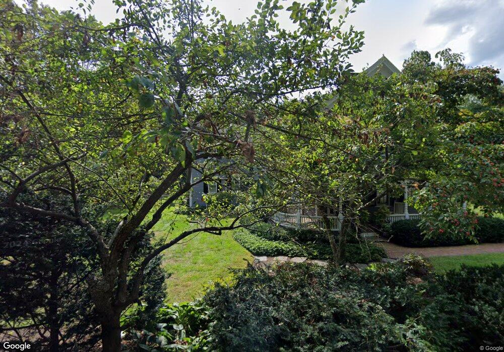
This home is located at 170 Claybrook Rd, Dover, MA 02030 and is currently estimated at $2,145,984, approximately $862 per square foot. 170 Claybrook Rd is a home located in Norfolk County with nearby schools including Chickering Elementary School, Dover-Sherborn Regional Middle School, and Dover-Sherborn Regional High School.
Ownership History
Date
Name
Owned For
Owner Type
Purchase Details
Closed on
Jul 31, 2001
Sold by
Vliebergh Fabienne and Vliebergh Vincent
Bought by
Litle Robert W and Litle Julie N
Current Estimated Value
Home Financials for this Owner
Home Financials are based on the most recent Mortgage that was taken out on this home.
Original Mortgage
$600,000
Interest Rate
7.18%
Mortgage Type
Purchase Money Mortgage
Purchase Details
Closed on
May 13, 1999
Sold by
Skramstad Trond
Bought by
Vliebergh Fabienne and Vliebergh Vincent
Purchase Details
Closed on
Oct 10, 1997
Sold by
Dwinell Linda L
Bought by
Skramstad Trond
Create a Home Valuation Report for This Property
The Home Valuation Report is an in-depth analysis detailing your home's value as well as a comparison with similar homes in the area
Home Values in the Area
Average Home Value in this Area
Purchase History
| Date | Buyer | Sale Price | Title Company |
|---|---|---|---|
| Litle Robert W | $835,000 | -- | |
| Vliebergh Fabienne | $690,000 | -- | |
| Skramstad Trond | $620,000 | -- |
Source: Public Records
Mortgage History
| Date | Status | Borrower | Loan Amount |
|---|---|---|---|
| Open | Skramstad Trond | $523,750 | |
| Closed | Skramstad Trond | $596,000 | |
| Closed | Skramstad Trond | $600,000 |
Source: Public Records
Tax History
| Year | Tax Paid | Tax Assessment Tax Assessment Total Assessment is a certain percentage of the fair market value that is determined by local assessors to be the total taxable value of land and additions on the property. | Land | Improvement |
|---|---|---|---|---|
| 2025 | $21,500 | $1,907,700 | $642,500 | $1,265,200 |
| 2024 | $20,669 | $1,885,900 | $620,700 | $1,265,200 |
| 2023 | $18,395 | $1,509,000 | $544,500 | $964,500 |
| 2022 | $18,261 | $1,470,300 | $522,700 | $947,600 |
| 2021 | $19,060 | $1,478,700 | $522,700 | $956,000 |
| 2020 | $18,053 | $1,406,000 | $522,700 | $883,300 |
| 2019 | $18,180 | $1,406,000 | $522,700 | $883,300 |
| 2018 | $17,378 | $1,353,400 | $522,700 | $830,700 |
| 2017 | $17,646 | $1,352,200 | $479,200 | $873,000 |
| 2016 | $18,505 | $1,436,700 | $479,200 | $957,500 |
| 2015 | $16,654 | $1,311,300 | $455,200 | $856,100 |
Source: Public Records
Map
Nearby Homes
- 9 Buttercup Ln
- 8 Warren Rd
- 68 Locust Ln
- 182 Winding River Rd
- 29 Water St
- 121 Livingston Rd
- 389 Grove St
- 104 Glen St
- 62 Claybrook Rd
- 60 Claybrook Rd
- 18 Phillips Pond Rd
- 83 Eliot St
- 2 Phillips Pond Rd
- 104 Eliot St
- 365 Charles River St
- 1 Old Colony Dr
- 222 Grove St
- 189 Eliot St
- 20 Arden Rd
- 1780 Central Ave
Your Personal Tour Guide
Ask me questions while you tour the home.