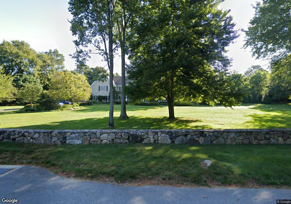
170 Skunk Ln Wilton, CT 06897
Estimated Value: $1,842,000 - $2,237,000
4
Beds
6
Baths
4,792
Sq Ft
$431/Sq Ft
Est. Value
About This Home
This home is located at 170 Skunk Ln, Wilton, CT 06897 and is currently estimated at $2,063,597, approximately $430 per square foot. 170 Skunk Ln is a home located in Fairfield County with nearby schools including Miller-Driscoll School, Cider Mill School, and Middlebrook School.
Ownership History
Date
Name
Owned For
Owner Type
Purchase Details
Closed on
Oct 19, 2000
Sold by
Tomas J
Bought by
Dinanno David and Dinanno Lynn
Current Estimated Value
Purchase Details
Closed on
Dec 9, 1999
Sold by
J
Bought by
J Tomas & Sons Llc
Create a Home Valuation Report for This Property
The Home Valuation Report is an in-depth analysis detailing your home's value as well as a comparison with similar homes in the area
Home Values in the Area
Average Home Value in this Area
Purchase History
| Date | Buyer | Sale Price | Title Company |
|---|---|---|---|
| Dinanno David | $1,300,000 | -- | |
| J Tomas & Sons Llc | $375,000 | -- |
Source: Public Records
Mortgage History
| Date | Status | Borrower | Loan Amount |
|---|---|---|---|
| Open | J Tomas & Sons Llc | $500,000 | |
| Open | J Tomas & Sons Llc | $891,000 | |
| Closed | J Tomas & Sons Llc | $895,000 | |
| Closed | J Tomas & Sons Llc | $905,000 |
Source: Public Records
Tax History Compared to Growth
Tax History
| Year | Tax Paid | Tax Assessment Tax Assessment Total Assessment is a certain percentage of the fair market value that is determined by local assessors to be the total taxable value of land and additions on the property. | Land | Improvement |
|---|---|---|---|---|
| 2025 | $29,362 | $1,202,880 | $309,330 | $893,550 |
| 2024 | $28,797 | $1,202,880 | $309,330 | $893,550 |
| 2023 | $26,276 | $898,030 | $295,820 | $602,210 |
| 2022 | $25,162 | $891,310 | $295,820 | $595,490 |
| 2021 | $24,841 | $891,310 | $295,820 | $595,490 |
| 2020 | $24,475 | $891,310 | $295,820 | $595,490 |
| 2019 | $25,438 | $891,310 | $295,820 | $595,490 |
| 2018 | $26,616 | $944,160 | $311,080 | $633,080 |
| 2017 | $26,219 | $944,160 | $311,080 | $633,080 |
| 2016 | $25,813 | $944,160 | $311,080 | $633,080 |
| 2015 | $25,332 | $944,160 | $311,080 | $633,080 |
| 2014 | $25,030 | $944,160 | $311,080 | $633,080 |
Source: Public Records
Map
Nearby Homes
- 55 Liberty St
- 185 Sturges Ridge Rd
- 30 Coley Rd
- 41 Calvin Rd
- 76 Sturges Ridge Rd
- 33 Cannon Rd
- 335 Georgetown Rd
- 110 Dudley Rd
- 30 Black Alder Ln
- 4 Trails End Rd
- 15 River Rd Unit STE 210
- 326 Georgetown Rd
- 20 Wilton Crest Unit 20
- 35 Village Walk
- 36 Wilton Crest Unit 36
- 52 Glen Ridge
- 84 Wilton Crest Rd Unit 84
- 81 Graenest Ridge Rd
- 112 Middlebrook Farm Rd
- 33 Middlebrook Farm Rd