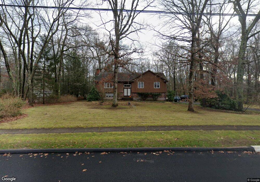
170 Timrod Trail Glastonbury, CT 06033
Minnechaug NeighborhoodEstimated Value: $461,000 - $542,222
3
Beds
3
Baths
1,346
Sq Ft
$366/Sq Ft
Est. Value
About This Home
This home is located at 170 Timrod Trail, Glastonbury, CT 06033 and is currently estimated at $492,806, approximately $366 per square foot. 170 Timrod Trail is a home located in Hartford County with nearby schools including Gideon Welles School, Hebron Avenue School, and Smith Middle School.
Ownership History
Date
Name
Owned For
Owner Type
Purchase Details
Closed on
Aug 3, 2007
Sold by
Johnson Russell K and Johnson Katherine M
Bought by
Hayes Robert E and Binder Ann
Current Estimated Value
Home Financials for this Owner
Home Financials are based on the most recent Mortgage that was taken out on this home.
Original Mortgage
$265,000
Interest Rate
6.73%
Create a Home Valuation Report for This Property
The Home Valuation Report is an in-depth analysis detailing your home's value as well as a comparison with similar homes in the area
Home Values in the Area
Average Home Value in this Area
Purchase History
| Date | Buyer | Sale Price | Title Company |
|---|---|---|---|
| Hayes Robert E | $295,000 | -- |
Source: Public Records
Mortgage History
| Date | Status | Borrower | Loan Amount |
|---|---|---|---|
| Open | Hayes Robert E | $255,000 | |
| Closed | Hayes Robert E | $265,000 |
Source: Public Records
Tax History Compared to Growth
Tax History
| Year | Tax Paid | Tax Assessment Tax Assessment Total Assessment is a certain percentage of the fair market value that is determined by local assessors to be the total taxable value of land and additions on the property. | Land | Improvement |
|---|---|---|---|---|
| 2025 | $7,902 | $240,700 | $122,600 | $118,100 |
| 2024 | $7,686 | $240,700 | $122,600 | $118,100 |
| 2023 | $7,464 | $240,700 | $122,600 | $118,100 |
| 2022 | $7,270 | $194,900 | $101,100 | $93,800 |
| 2021 | $7,274 | $194,900 | $101,100 | $93,800 |
| 2020 | $7,192 | $194,900 | $101,100 | $93,800 |
| 2019 | $7,087 | $194,900 | $101,100 | $93,800 |
| 2018 | $7,016 | $194,900 | $101,100 | $93,800 |
| 2017 | $7,243 | $193,400 | $101,100 | $92,300 |
| 2016 | $7,040 | $193,400 | $101,100 | $92,300 |
| 2015 | $6,982 | $193,400 | $101,100 | $92,300 |
| 2014 | $6,895 | $193,400 | $101,100 | $92,300 |
Source: Public Records
Map
Nearby Homes
- 366 Woodhaven Rd
- 509 Cedar Ridge Dr
- 394 Woodhaven Rd
- 60 Saddle Ridge Rd
- 282 Mountain Rd
- 1925 Manchester Rd
- 0 Hebron Ave
- 2085 Manchester Rd
- 2788 Hebron Ave
- 6 Line St
- 45 Line St
- 92 Ash Swamp Rd
- 76 Masters Way
- 580 S Main St
- 0 0 Line #3 St Unit 24008112
- 47 Brookview Dr
- 112 Jacqueline Dr
- 390 Ash Swamp Rd
- 36 Sand Hill Ln
- 56 W Gerald Dr
- 158 Timrod Trail
- 188 Timrod Trail
- 235 Woodhaven Rd
- 257 Woodhaven Rd
- 270 Natchaug Dr
- 270 Natchaug Dr Unit B
- 175 Timrod Trail
- 157 Timrod Trail
- 213 Woodhaven Rd
- 271 Woodhaven Rd
- 144 Timrod Trail
- 236 Natchaug Dr
- 143 Timrod Trail
- 226 Woodhaven Rd
- 265 Natchaug Dr
- 253 Natchaug Dr
- 258 Woodhaven Rd
- 283 Woodhaven Rd
- 212 Natchaug Dr
- 240 Woodhaven Rd