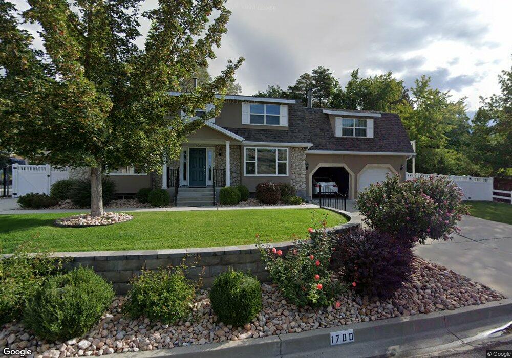
1700 Bluebird Rd Orem, UT 84097
Northridge NeighborhoodEstimated Value: $774,000 - $866,000
4
Beds
4
Baths
2,938
Sq Ft
$277/Sq Ft
Est. Value
About This Home
This home is located at 1700 Bluebird Rd, Orem, UT 84097 and is currently estimated at $814,815, approximately $277 per square foot. 1700 Bluebird Rd is a home located in Utah County with nearby schools including Orchard Elementary School, Oak Canyon Junior High School, and Timpanogos High School.
Ownership History
Date
Name
Owned For
Owner Type
Purchase Details
Closed on
May 23, 2018
Sold by
Reynolds Donald H and Reynolds Marsha
Bought by
Reynolds Donald H and Reynolds Marsha
Current Estimated Value
Purchase Details
Closed on
May 24, 2013
Sold by
Reynolds Donald H and Reynolds Marsha
Bought by
Reynolds Donald H and Reynolds Marsha
Home Financials for this Owner
Home Financials are based on the most recent Mortgage that was taken out on this home.
Original Mortgage
$167,500
Interest Rate
3.38%
Mortgage Type
New Conventional
Purchase Details
Closed on
Jan 14, 1999
Sold by
Reynolds Donald H and Reynolds Marsha
Bought by
Reynolds Donald H and Reynolds Marsha
Create a Home Valuation Report for This Property
The Home Valuation Report is an in-depth analysis detailing your home's value as well as a comparison with similar homes in the area
Home Values in the Area
Average Home Value in this Area
Purchase History
| Date | Buyer | Sale Price | Title Company |
|---|---|---|---|
| Reynolds Donald H | -- | None Available | |
| Reynolds Donald H | -- | Title One | |
| Reynolds Donald H | -- | -- |
Source: Public Records
Mortgage History
| Date | Status | Borrower | Loan Amount |
|---|---|---|---|
| Closed | Reynolds Donald H | $167,500 |
Source: Public Records
Tax History
| Year | Tax Paid | Tax Assessment Tax Assessment Total Assessment is a certain percentage of the fair market value that is determined by local assessors to be the total taxable value of land and additions on the property. | Land | Improvement |
|---|---|---|---|---|
| 2025 | $2,877 | $380,710 | -- | -- |
| 2024 | $2,877 | $351,780 | $0 | $0 |
| 2023 | $2,732 | $358,985 | $0 | $0 |
| 2022 | $2,872 | $365,695 | $0 | $0 |
| 2021 | $2,605 | $502,400 | $182,300 | $320,100 |
| 2020 | $2,445 | $463,400 | $158,500 | $304,900 |
| 2019 | $2,093 | $412,500 | $147,400 | $265,100 |
| 2018 | $2,077 | $391,200 | $147,400 | $243,800 |
| 2017 | $2,073 | $209,110 | $0 | $0 |
| 2016 | $2,105 | $195,855 | $0 | $0 |
| 2015 | $2,047 | $180,125 | $0 | $0 |
| 2014 | -- | $161,040 | $0 | $0 |
Source: Public Records
Map
Nearby Homes
- 540 E Quail Rd
- 695 E 1870 N
- 1643 N Mountain Oaks Dr
- 1480 N 430 E
- 723 E 1450 N Unit 25
- 110 S 1320 E
- 1636 N 160 E
- 1638 N 160 E
- 363 E 1395 N Unit 22
- 713 E 1500 St N Unit 19
- 713 E 1450 N Unit 23
- 1371 N 330 E Unit 8
- 1366 N 750 E
- 733 E 1450 N Unit 5
- 1356 N 750 E Unit 11
- 1324 N 750 E Unit 3
- 710 E 1280 N
- 49 W 1880 N
- 372 E 1165 N
- 92 W 1565 N
- 1710 Bluebird Rd
- 1686 Bluebird Rd
- 1697 Bluebird Rd
- 550 Meadowlark Rd
- 1686 N Bluebird Rd
- 1709 Bluebird Rd
- 1685 Quail Rd
- 549 Quail Rd
- 1732 Bluebird Rd
- 547 Meadowlark Rd
- 568 Meadowlark Rd
- 1728 Meadowlark Rd
- 557 Quail Rd
- 521 Meadowlark Rd
- 1675 Quail Rd
- 559 Meadowlark Rd
- 1716 Meadowlark Rd
- 526E Quail Rd
- 1741 Meadowlark Rd
- 582 Meadowlark Rd
Your Personal Tour Guide
Ask me questions while you tour the home.