1700 McDonald Rd Vincent, OH 45784
Estimated Value: $162,476 - $269,000
3
Beds
1
Bath
1,232
Sq Ft
$178/Sq Ft
Est. Value
About This Home
This home is located at 1700 McDonald Rd, Vincent, OH 45784 and is currently estimated at $219,619, approximately $178 per square foot. 1700 McDonald Rd is a home with nearby schools including Warren High School.
Ownership History
Date
Name
Owned For
Owner Type
Purchase Details
Closed on
Nov 2, 2010
Sold by
Brookover James R and Brookover Ina G
Bought by
Sellers Abe
Current Estimated Value
Create a Home Valuation Report for This Property
The Home Valuation Report is an in-depth analysis detailing your home's value as well as a comparison with similar homes in the area
Home Values in the Area
Average Home Value in this Area
Purchase History
| Date | Buyer | Sale Price | Title Company |
|---|---|---|---|
| Sellers Abe | -- | Attorney |
Source: Public Records
Tax History Compared to Growth
Tax History
| Year | Tax Paid | Tax Assessment Tax Assessment Total Assessment is a certain percentage of the fair market value that is determined by local assessors to be the total taxable value of land and additions on the property. | Land | Improvement |
|---|---|---|---|---|
| 2024 | $1,014 | $36,830 | $9,940 | $26,890 |
| 2023 | $1,014 | $36,830 | $9,940 | $26,890 |
| 2022 | $1,049 | $36,830 | $9,940 | $26,890 |
| 2021 | $1,052 | $35,700 | $6,190 | $29,510 |
| 2020 | $1,051 | $35,700 | $6,190 | $29,510 |
| 2019 | $1,036 | $35,700 | $6,190 | $29,510 |
| 2018 | $870 | $30,740 | $5,160 | $25,580 |
| 2017 | $1,227 | $30,740 | $5,160 | $25,580 |
| 2016 | $1,519 | $30,740 | $5,160 | $25,580 |
| 2015 | $1,051 | $29,340 | $4,470 | $24,870 |
| 2014 | $1,466 | $29,340 | $4,470 | $24,870 |
| 2013 | $1,019 | $29,340 | $4,470 | $24,870 |
Source: Public Records
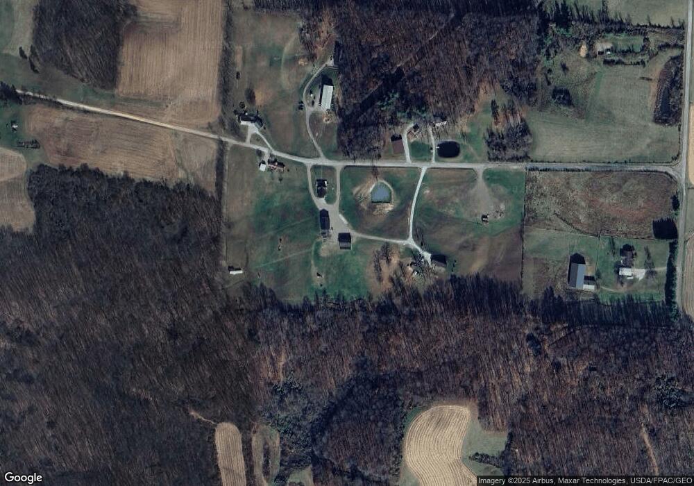
Map
Nearby Homes
- 0 Ohio 550
- 10270 Ohio 550
- 10507 Ohio 339
- 0 Layman Rd Unit 5162075
- 0 Layman Rd Unit 5162072
- 6570 State Route 339
- 11584 State Route 339
- 1998 Reese Rd
- 545 Lewis Pointe Dr
- 735 Timberline Dr
- 135 Knob Dr
- 120 Fleming Dr
- 0 Fisher Ridge Rd
- 265 James Ln
- Lot 1 Shinn Rd
- Lot 2 Shinn Rd
- Lot 2 Shinn Rd
- 0 Brackenridge Rd Unit 23885979
- 0 Brackenridge Rd Unit 23885976
- 28 Mcgill Rd
- 1722 McDonald Rd
- 1723 McDonald Rd
- 1701 McDonald Rd
- 1621 McDonald Rd
- 2150 McDonald Rd
- 2070 McDonald Rd
- 1400 McDonald Rd
- 1365 McDonald Rd
- 1331 McDonald Rd
- 9105 State Route 550
- 9085 State Route 550
- 9035 State Route 550
- 2280 McDonald Rd
- 9141 State Route 550
- 1258 McDonald Rd
- 9020 State Route 550
- 9020 State Route 550
- 9070 Ohio 550
- 271 Reynolds Rd
- 9008 State Route 550