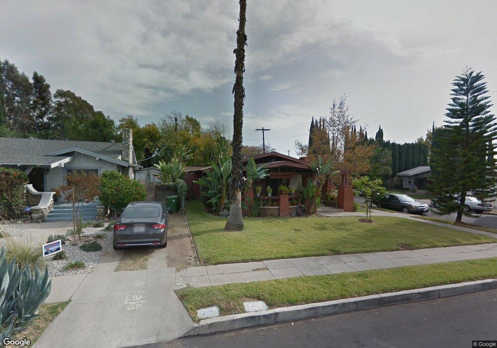
1700 Phillips Way Los Angeles, CA 90042
Estimated Value: $1,012,557 - $1,237,000
3
Beds
1
Bath
1,188
Sq Ft
$942/Sq Ft
Est. Value
About This Home
This home is located at 1700 Phillips Way, Los Angeles, CA 90042 and is currently estimated at $1,119,389, approximately $942 per square foot. 1700 Phillips Way is a home located in Los Angeles County with nearby schools including Buchanan Street Elementary, Benjamin Franklin High School, and Luther Burbank Middle School.
Ownership History
Date
Name
Owned For
Owner Type
Purchase Details
Closed on
Nov 8, 2013
Sold by
Valenzuela Maria
Bought by
Valenzuela Maria De La Luz and Valenzuela Family Trust
Current Estimated Value
Purchase Details
Closed on
Aug 2, 1994
Sold by
Burbank Barbara J and Barbara J Burbank Living Trust
Bought by
Valenzuela Carlos E
Home Financials for this Owner
Home Financials are based on the most recent Mortgage that was taken out on this home.
Original Mortgage
$141,300
Interest Rate
8.57%
Purchase Details
Closed on
Jun 29, 1993
Sold by
Burbank Barbara Jane
Bought by
Burbank Barbara J and The Barbara J Burbank Living Trust
Create a Home Valuation Report for This Property
The Home Valuation Report is an in-depth analysis detailing your home's value as well as a comparison with similar homes in the area
Home Values in the Area
Average Home Value in this Area
Purchase History
| Date | Buyer | Sale Price | Title Company |
|---|---|---|---|
| Valenzuela Maria De La Luz | -- | None Available | |
| Valenzuela Carlos E | $157,000 | Commonwealth Land Title | |
| Burbank Barbara J | -- | -- |
Source: Public Records
Mortgage History
| Date | Status | Borrower | Loan Amount |
|---|---|---|---|
| Closed | Valenzuela Carlos E | $141,300 |
Source: Public Records
Tax History Compared to Growth
Tax History
| Year | Tax Paid | Tax Assessment Tax Assessment Total Assessment is a certain percentage of the fair market value that is determined by local assessors to be the total taxable value of land and additions on the property. | Land | Improvement |
|---|---|---|---|---|
| 2025 | $3,256 | $263,682 | $166,612 | $97,070 |
| 2024 | $3,256 | $258,513 | $163,346 | $95,167 |
| 2023 | $3,194 | $253,445 | $160,144 | $93,301 |
| 2022 | $3,047 | $248,476 | $157,004 | $91,472 |
| 2021 | $3,005 | $243,605 | $153,926 | $89,679 |
| 2019 | $2,915 | $236,381 | $149,361 | $87,020 |
| 2018 | $2,840 | $231,747 | $146,433 | $85,314 |
| 2016 | $2,702 | $222,750 | $140,748 | $82,002 |
| 2015 | $2,663 | $219,405 | $138,634 | $80,771 |
| 2014 | $2,678 | $215,108 | $135,919 | $79,189 |
Source: Public Records
Map
Nearby Homes
- 5252 Range View Ave
- 5413 Meridian St
- 1813 N Avenue 53
- 5117 Stratford Rd
- 1813 N Avenue 55
- 5240 Barker Dr
- 5318 Raber St
- 1815 Nolden St
- 1932 Phillips Way
- 5125 Buchanan St
- 1942 Phillips Way
- 1938 Phillips Way
- 1370 N Avenue 57
- 1915 N Avenue 52
- 1902 N Avenue 51
- 5711 Stratford Rd
- 829 N Avenue 53
- 1480 N Avenue 57
- 1476 N Avenue 57
- 5055 Hub St
- 1706 Phillips Way
- 1710 Phillips Way
- 1701 N Avenue 53
- 1707 N Avenue 53
- 5242 Range View Ave
- 5236 Range View Ave
- 1716 Phillips Way
- 5246 Range View Ave
- 1711 N Avenue 53
- 5230 Range View Ave
- 1701 Phillips Way
- 1707 Phillips Way
- 1717 N Avenue 53
- 1720 Phillips Way
- 1711 Phillips Way
- 5226 Range View Ave
- 5258 Range View Ave
- 1717 Phillips Way
- 1721 N Avenue 53
- 5222 Range View Ave