17007 SE Tong Rd Damascus, OR 97089
Estimated Value: $627,410 - $811,000
3
Beds
2
Baths
2,007
Sq Ft
$347/Sq Ft
Est. Value
About This Home
This home is located at 17007 SE Tong Rd, Damascus, OR 97089 and is currently estimated at $695,853, approximately $346 per square foot. 17007 SE Tong Rd is a home located in Clackamas County with nearby schools including Verne A Duncan Elementary School, Happy Valley Middle School, and Damascus Christian School.
Ownership History
Date
Name
Owned For
Owner Type
Purchase Details
Closed on
Jul 1, 2013
Sold by
Ullrey Erma Marie and Ullrey Walter Bertram
Bought by
Mason George Dennis and Mason Barbara Mary
Current Estimated Value
Purchase Details
Closed on
Aug 17, 2010
Sold by
Clark Chad E and Clark Carice M
Bought by
Ullrey Walter Bertram and Ullrey Erma Marie
Home Financials for this Owner
Home Financials are based on the most recent Mortgage that was taken out on this home.
Original Mortgage
$245,600
Interest Rate
4.51%
Mortgage Type
New Conventional
Purchase Details
Closed on
Aug 6, 2003
Sold by
Matthews Lawrence E and Matthews Linda M
Bought by
Clark Chad E and Clark Carice M
Home Financials for this Owner
Home Financials are based on the most recent Mortgage that was taken out on this home.
Original Mortgage
$150,000
Interest Rate
4.55%
Mortgage Type
Balloon
Create a Home Valuation Report for This Property
The Home Valuation Report is an in-depth analysis detailing your home's value as well as a comparison with similar homes in the area
Home Values in the Area
Average Home Value in this Area
Purchase History
| Date | Buyer | Sale Price | Title Company |
|---|---|---|---|
| Mason George Dennis | $363,500 | Chicago Title Company Oregon | |
| Ullrey Walter Bertram | $307,000 | Fidelity Natl Title Co Of Or | |
| Clark Chad E | $246,950 | Chicago Title Insurance Comp |
Source: Public Records
Mortgage History
| Date | Status | Borrower | Loan Amount |
|---|---|---|---|
| Previous Owner | Ullrey Walter Bertram | $245,600 | |
| Previous Owner | Clark Chad E | $150,000 |
Source: Public Records
Tax History Compared to Growth
Tax History
| Year | Tax Paid | Tax Assessment Tax Assessment Total Assessment is a certain percentage of the fair market value that is determined by local assessors to be the total taxable value of land and additions on the property. | Land | Improvement |
|---|---|---|---|---|
| 2025 | $5,537 | $325,363 | -- | -- |
| 2024 | $5,337 | $315,887 | -- | -- |
| 2023 | $5,337 | $306,687 | $0 | $0 |
| 2022 | $4,893 | $297,755 | $0 | $0 |
| 2021 | $4,707 | $289,083 | $0 | $0 |
| 2020 | $4,548 | $280,664 | $0 | $0 |
| 2019 | $4,470 | $272,490 | $0 | $0 |
| 2018 | $3,906 | $264,553 | $0 | $0 |
| 2017 | $3,794 | $256,848 | $0 | $0 |
| 2016 | $3,656 | $249,367 | $0 | $0 |
| 2015 | $4,092 | $242,104 | $0 | $0 |
| 2014 | $3,831 | $235,052 | $0 | $0 |
Source: Public Records
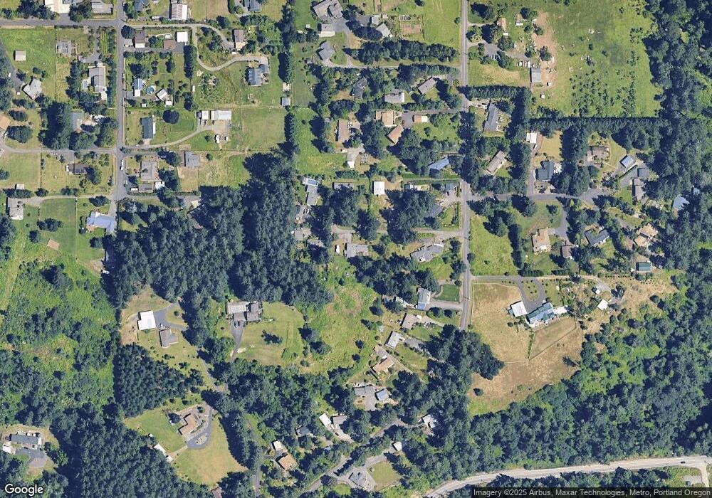
Map
Nearby Homes
- 17156 SE Macanudo St
- 0 SE Armstrong Cir
- 18680 SE Highway 212
- 16381 SE Deer Meadow Loop
- 15694 SE Upman Way
- 16566 SE Deer Meadow Loop
- 16400 SE Highway 224
- 16300 SE Highway 224 Unit 8
- 16300 SE Highway 224 Unit 21
- 16911 SE Siri Ct
- 16265 SE Highway 224
- 15566 SE Melinda Ct
- 15556 SE Gladys Rose Way
- 16300 Oregon 224 Unit 10
- 18027 SE Emi St
- 14790 SE 172nd Ave
- 15786 SE Jansik Ct
- 20320 SE Walgren Rd
- 14548 SE 172nd Ave
- 14543 SE West Park Ct
- 17011 SE Tong Rd
- 17001 SE Tong Rd
- 16887 SE Tong Rd
- 16861 SE Tong Rd
- 17015 SE Tong Rd
- 16851 SE Tong Rd
- 16897 SE Tong Rd
- 17093 SE Tong Rd
- 17061 SE Tong Rd
- 16815 SE Tong Rd
- 16787 SE Tong Rd
- 17097 SE Tong Rd
- 17309 SE Tong Rd
- 16751 SE Tong Rd
- 17191 SE Tong Rd
- 18241 SE Miarly Ln
- 16695 SE Tong Rd
- 17197 SE Tong Rd
- 16701 SE Tong Rd
- 16940 SE Bel Air Dr