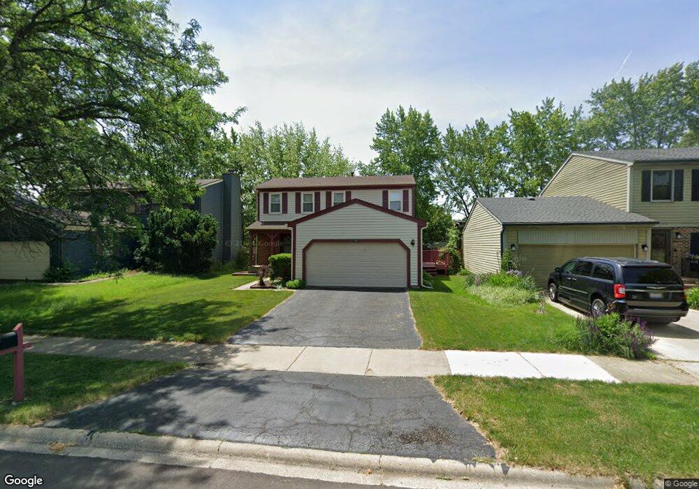
1701 Cumberland Rd Aurora, IL 60504
South East Village NeighborhoodEstimated Value: $311,000 - $367,893
3
Beds
2
Baths
1,564
Sq Ft
$221/Sq Ft
Est. Value
About This Home
This home is located at 1701 Cumberland Rd, Aurora, IL 60504 and is currently estimated at $345,723, approximately $221 per square foot. 1701 Cumberland Rd is a home located in DuPage County with nearby schools including Gombert Elementary School, Fischer Middle School, and Waubonsie Valley High School.
Ownership History
Date
Name
Owned For
Owner Type
Purchase Details
Closed on
Jul 1, 2008
Sold by
Manges Brian L and Manges Linda C
Bought by
Manges Brian L and Brian Manges Trust
Current Estimated Value
Purchase Details
Closed on
Mar 29, 2001
Sold by
Howard Charles E and Howard Joy L
Bought by
Manges Brian L and Manges Linda C
Home Financials for this Owner
Home Financials are based on the most recent Mortgage that was taken out on this home.
Original Mortgage
$124,800
Outstanding Balance
$46,383
Interest Rate
7.13%
Estimated Equity
$299,340
Create a Home Valuation Report for This Property
The Home Valuation Report is an in-depth analysis detailing your home's value as well as a comparison with similar homes in the area
Home Values in the Area
Average Home Value in this Area
Purchase History
| Date | Buyer | Sale Price | Title Company |
|---|---|---|---|
| Manges Brian L | -- | None Available | |
| Manges Brian L | $156,000 | First American Title Ins |
Source: Public Records
Mortgage History
| Date | Status | Borrower | Loan Amount |
|---|---|---|---|
| Open | Manges Brian L | $124,800 |
Source: Public Records
Tax History Compared to Growth
Tax History
| Year | Tax Paid | Tax Assessment Tax Assessment Total Assessment is a certain percentage of the fair market value that is determined by local assessors to be the total taxable value of land and additions on the property. | Land | Improvement |
|---|---|---|---|---|
| 2024 | $6,636 | $95,276 | $25,352 | $69,924 |
| 2023 | $6,307 | $85,610 | $22,780 | $62,830 |
| 2022 | $5,890 | $76,240 | $20,120 | $56,120 |
| 2021 | $5,728 | $73,520 | $19,400 | $54,120 |
| 2020 | $5,798 | $73,520 | $19,400 | $54,120 |
| 2019 | $5,584 | $69,920 | $18,450 | $51,470 |
| 2018 | $4,997 | $62,570 | $16,390 | $46,180 |
| 2017 | $4,905 | $60,440 | $15,830 | $44,610 |
| 2016 | $4,808 | $58,000 | $15,190 | $42,810 |
| 2015 | $4,747 | $55,070 | $14,420 | $40,650 |
| 2014 | $4,763 | $53,800 | $13,960 | $39,840 |
| 2013 | $4,716 | $54,180 | $14,060 | $40,120 |
Source: Public Records
Map
Nearby Homes
- 2489 Rosehall Ln
- 2509 Rosehall Ln
- 2632 Emma Cir
- 1629 Silver Springs Ct
- 2484 Warwick Ct
- 1966 Congrove Dr
- 1722 Baler Ave
- 1728 Baler Ave
- 1716 Baler Ave
- 1734 Baler Ave
- 1875 Keating Dr
- 1871 Keating Dr
- 2730 Dorothy Dr Unit 1
- 1855 Keating Dr
- 2538 Needham Ct
- 2723 Rosehall Ln
- Bellamy Plan at Wheatland Crossing
- Henley Plan at Wheatland Crossing
- Ashton Plan at Wheatland Crossing
- Coventry Plan at Wheatland Crossing
- 1703 Cumberland Rd Unit 8A
- 1699 Cumberland Rd
- 1697 Cumberland Rd
- 1705 Cumberland Rd Unit 8A
- 1707 Cumberland Rd
- 1695 Cumberland Rd
- 1665 Sheffield Ct Unit 8B
- 1709 Cumberland Rd
- 1670 Sheffield Ct Unit 8B
- 1690 Cumberland Rd
- 1655 Sheffield Ct Unit 8B
- 1693 Cumberland Rd
- 1720 Melbourne Ln
- 1711 Cumberland Rd Unit 8B
- 1715 Montrose Dr
- 1724 Melbourne Ln
- 1645 Sheffield Ct
- 1688 Cumberland Rd
- 1650 Sheffield Ct Unit 8B
- 1716 Melbourne Ln Unit 1B