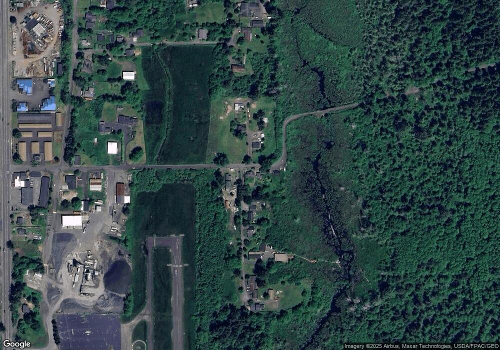
1701 Oster Rd Seaside, OR 97138
Estimated Value: $415,000 - $637,000
--
Bed
1
Bath
936
Sq Ft
$539/Sq Ft
Est. Value
About This Home
This home is located at 1701 Oster Rd, Seaside, OR 97138 and is currently estimated at $504,772, approximately $539 per square foot. 1701 Oster Rd is a home located in Clatsop County with nearby schools including Seaside High School.
Ownership History
Date
Name
Owned For
Owner Type
Purchase Details
Closed on
Dec 12, 2024
Sold by
Brown Douglas D and Pedersen Darlene
Bought by
Keranen Keith A and Andersson Mellissa C
Current Estimated Value
Purchase Details
Closed on
Oct 28, 2020
Sold by
Brown Douglas D
Bought by
Brown Douglas D and Pedersen Brown Darlene
Purchase Details
Closed on
Jun 6, 2019
Sold by
Walker Mildred Louise
Bought by
Brown Douglas Dean
Purchase Details
Closed on
May 9, 2011
Sold by
Witte Adele Minna
Bought by
Witte Adele Minna and Witte Crystal
Create a Home Valuation Report for This Property
The Home Valuation Report is an in-depth analysis detailing your home's value as well as a comparison with similar homes in the area
Purchase History
| Date | Buyer | Sale Price | Title Company |
|---|---|---|---|
| Keranen Keith A | $200,000 | Amerititle | |
| Brown Douglas D | -- | None Available | |
| Brown Douglas Dean | -- | None Available | |
| Witte Adele Minna | -- | None Available |
Source: Public Records
Tax History
| Year | Tax Paid | Tax Assessment Tax Assessment Total Assessment is a certain percentage of the fair market value that is determined by local assessors to be the total taxable value of land and additions on the property. | Land | Improvement |
|---|---|---|---|---|
| 2025 | $2,646 | $235,083 | -- | -- |
| 2024 | $2,449 | $208,370 | -- | -- |
| 2023 | $2,383 | $202,302 | $0 | $0 |
| 2022 | $2,313 | $196,410 | $0 | $0 |
| 2021 | $2,360 | $190,690 | $0 | $0 |
| 2020 | $2,277 | $185,137 | $0 | $0 |
| 2019 | $2,193 | $179,745 | $0 | $0 |
Source: Public Records
Map
Nearby Homes
- 2657 N Hwy 101 Unit 6
- 3389 U S 101
- 3387-3389 U S 101
- 2674 U S 101
- 782 Woodland Ct
- 0 McCormick Gardens Rd
- 934 H St
- 1255 A St
- 802 25th Ave
- 2440 Pine St
- 0 Cross Creek St Unit 14
- 0 Cross Creek St Unit 13
- 0 Cross Creek St Unit 26-112
- 0 Cross Creek St Unit 11
- 0 Cross Creek St Unit 26-114
- 0 Cross Creek St Unit 12
- 0 Cross Creek St Unit 26-115
- 0 Cross Creek St Unit 10
- 0 Cross Creek St Unit 26-116
- 0 Cross Creek St Unit 26-117
- 702 Country Ave
- 773 Country Ave
- 773 Country Ave
- 1702 Oster Rd
- 795 Country Ave
- 833 Country Ave
- 833 Country Ave
- 501 Railroad Ave
- 873 Country Ave
- 1500 Oster Rd
- 463 Railroad Ave
- 1402 Oster Rd
- 371 Railroad Ave
- 477 Railroad Ave
- 1401 Oster Rd
- 571 Railroad Ave
- 1401 Oster Rd
- 333 Railroad Ave
- 523 Railroad Ave
- 453 Railroad Ave
Your Personal Tour Guide
Ask me questions while you tour the home.
